Michigan, Iowa, Wisconsin & Minnesota
$120.00
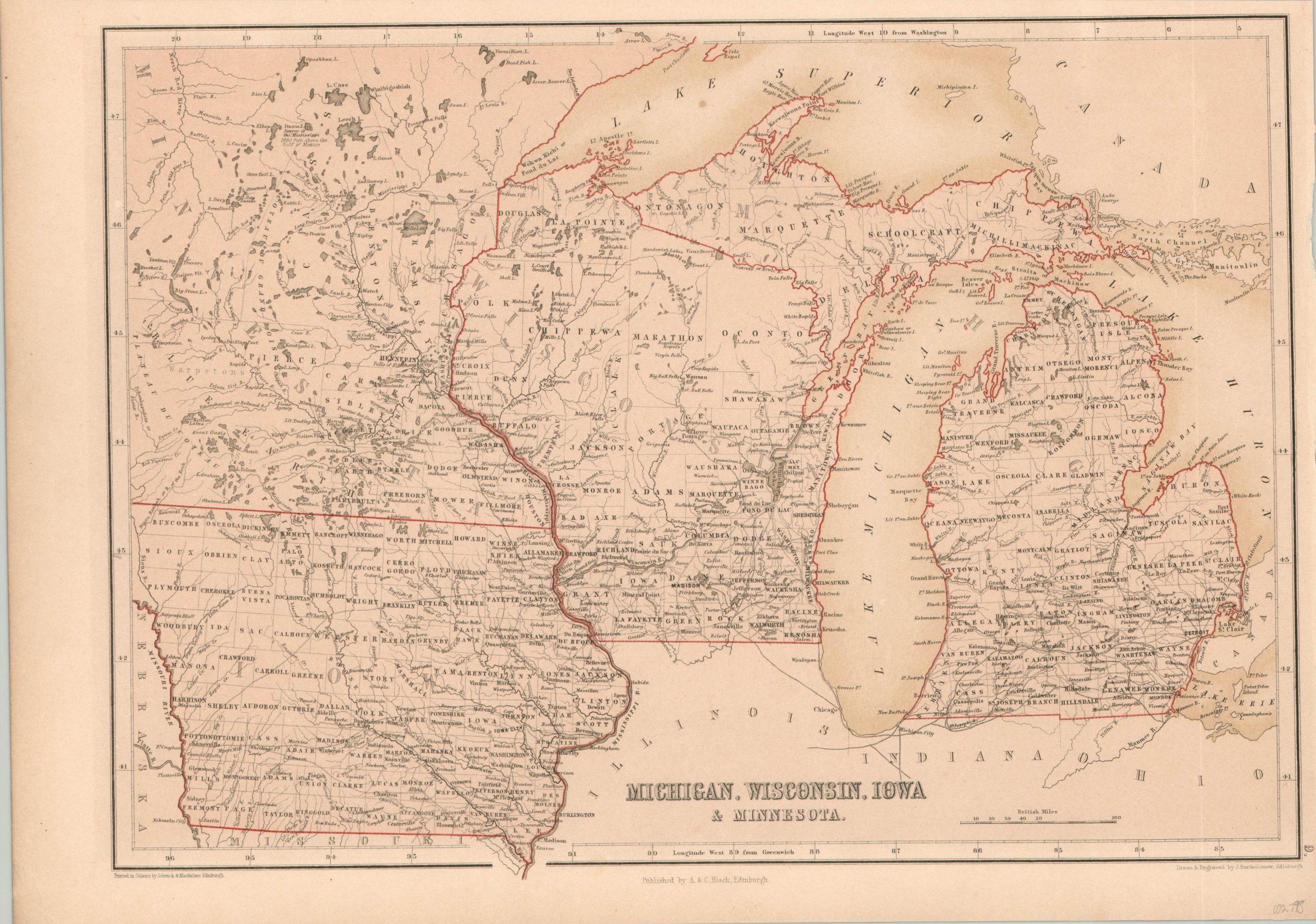
The Upper Midwest in the mid-19th century.
1 in stock
Description
This fine steel engraved map of Michigan, Wisconsin, Iowa, and the Minnesota Territory was published in Edinburgh by A. & C. Black in 1850 – almost a decade before Minnesota would become a state. A wealth of contemporary information on county and township development, settlement patterns, notable locations, and geographic features is presented within the image.
Slightly faded lithographic color contrasts nicely with the bright red outline, applied by hand.
Map Details
Publication Date: 1850
Author: A. & C. Black
Sheet Width (in): 15.50
Sheet Height (in): 10.50
Condition: A-
Condition Description: Slightly toned from age and one small spot in the upper center, in the middle of Lake Erie. Narrowed upper and left margins, but remains in very good condition overall.
$120.00
1 in stock