
Michigan Central Railroad and Connections
$400.00
The Michigan Central on the brink of Vanderbilt control.
1 in stock
Description
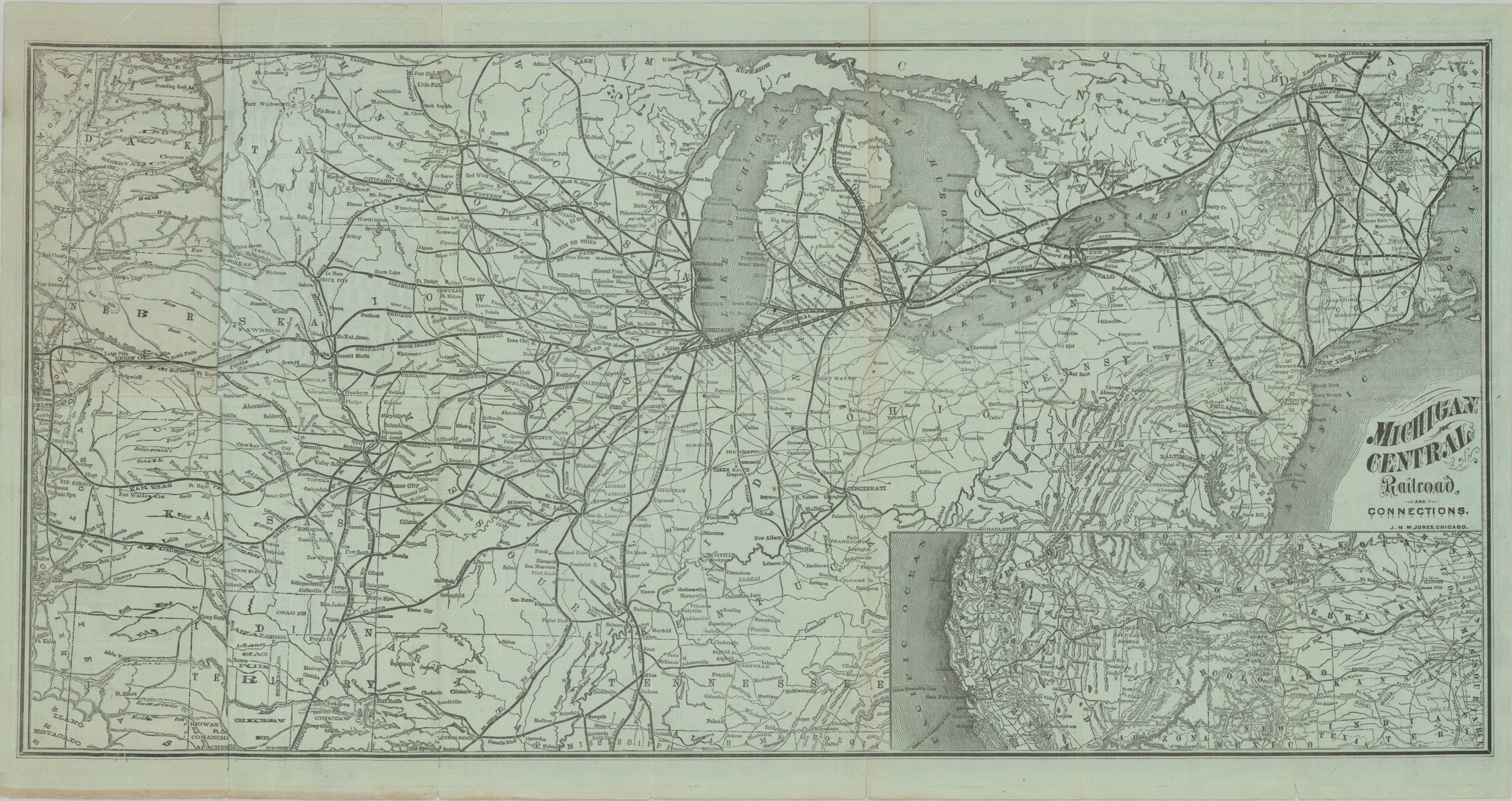
This ephemeral Michigan Central Railroad map and timetable was printed in June 1877 by J. M. W. Jones of Chicago. The primary route between Detroit and Chicago is cleverly situated within a broader network of rail lines stretching between the Atlantic Coast and the Rocky Mountains. Branches to Cheboygan, Saginaw, and Grand Rapids provided convenient access for both passengers and freight commodities such as timber, iron ore, and coal. An inset in the lower right highlights the Michigan Central’s regional connections to the Transcontinental Railroad, further cementing its role in the emerging national railroad network.
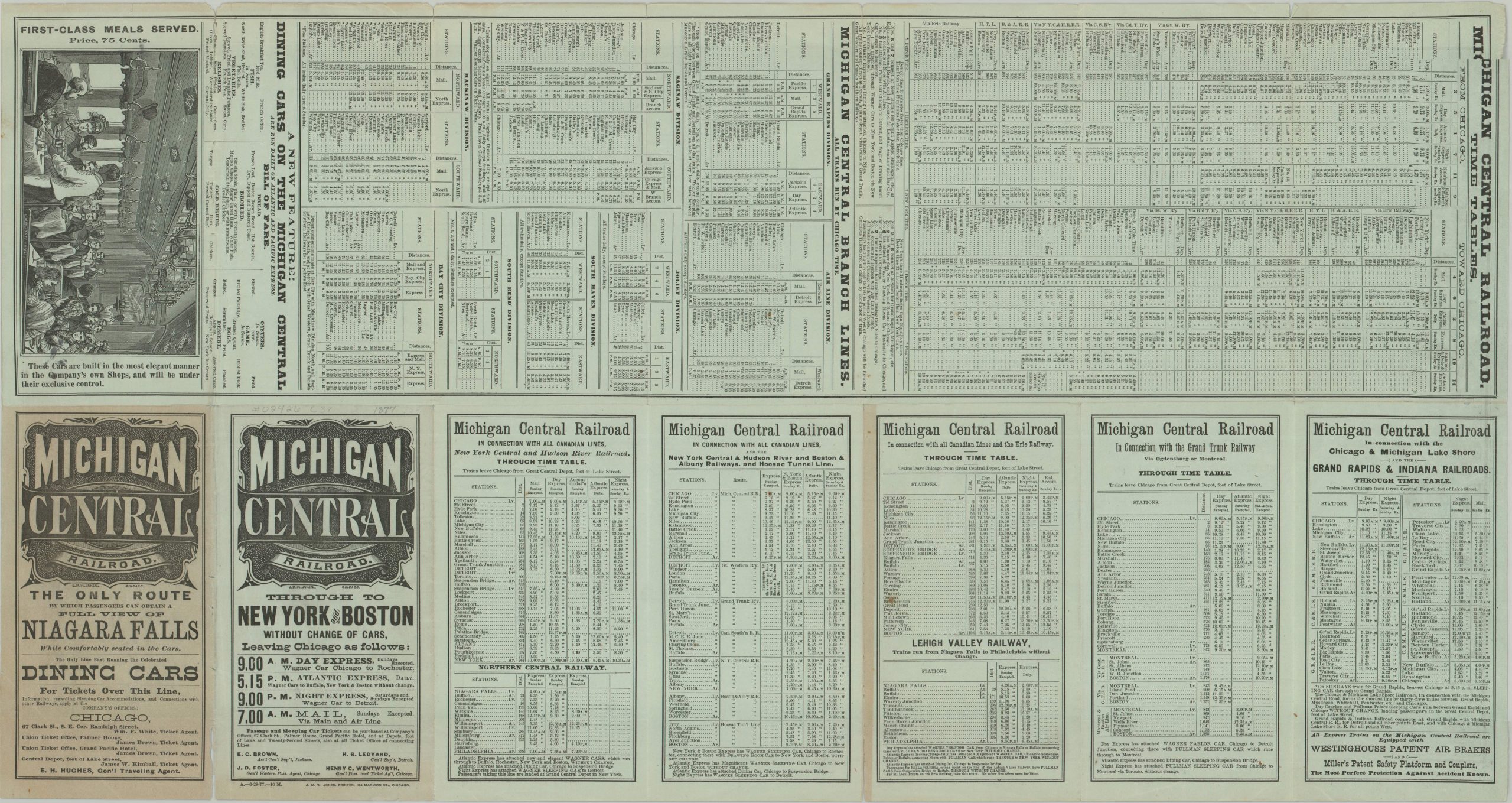
An extensive set of timetables is provided on the verso, along with a menu and view of the first-class meal service served in the dining cars. Promotional text notes that the Michigan Central offered the “only route by which passengers can obtain a full view of Niagara Falls while comfortably seated in the cars.”
The piece was issued just five months after the death of Cornelius Vanderbilt, who had been in the midst of a campaign to acquire a controlling interest in the Michigan Central. The costly effort continued under his son, William H. Vanderbilt, who ultimately secured control of the railroad in 1878.
Map Details
Publication Date: 1877
Author: J.M.W. Jones
Sheet Width (in): 27.00
Sheet Height (in): 14.50
Condition: B+
Condition Description: Double-sided map and timetable printed on blue paper. Front covers is moderately toned and there is evident wear along original folds, including several splits (about 5" total) repaired on the verso with archival tape. Minor marginal wear and small holes at fold joints. Good to very good condition overall.
$400.00
1 in stock