
Massachusetts
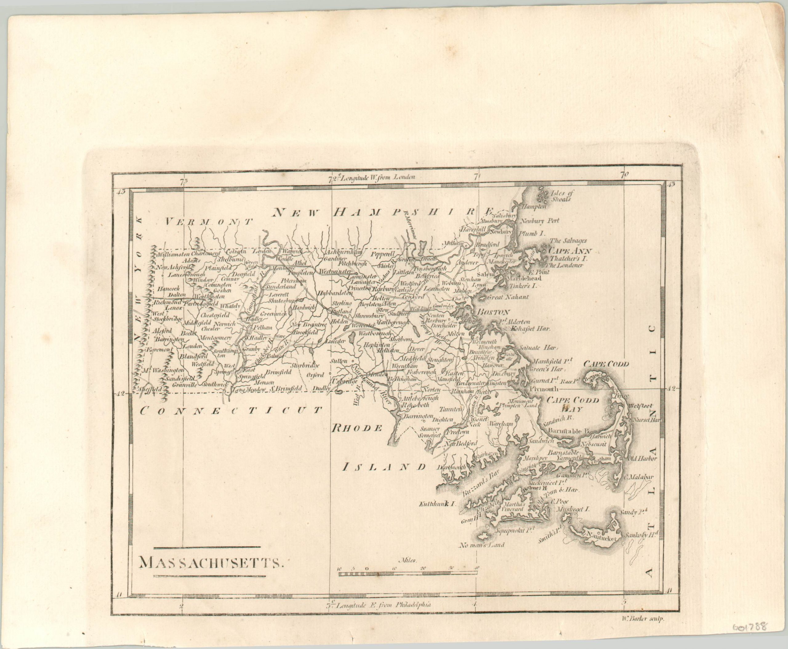
Dense map of Massachusetts published in 1820.
Out of stock
Description
Place names crowd nearly every corner of this map of Massachusetts, which shows the Bay State near the end of the First Industrial Revolution. Counties are shown with dotted outlines and a robust transportation network of roads and rivers can be seen connecting to the majority of the settlements, including Boston. Topography is depicted pictorially and confined to the western end of the state, while the eastern portion includes an extra ‘D’ in Cape Cod.
The map was published in Philadelphia in 1820 by Benjamin Warner and Matthew Carey, for inclusion in A General Atlas: Being a Collection of Maps of the World and Quarters…
Map Details
Publication Date: 1820
Author: Matthew Carey
Sheet Width (in): 10.20
Sheet Height (in): 8.20
Condition: A-
Condition Description: Very faint damp stain in the upper right corner of the sheet, and a bit of soiling in the margins. One small spot in Cape Cod Bay. Very good condition overall.
Out of stock