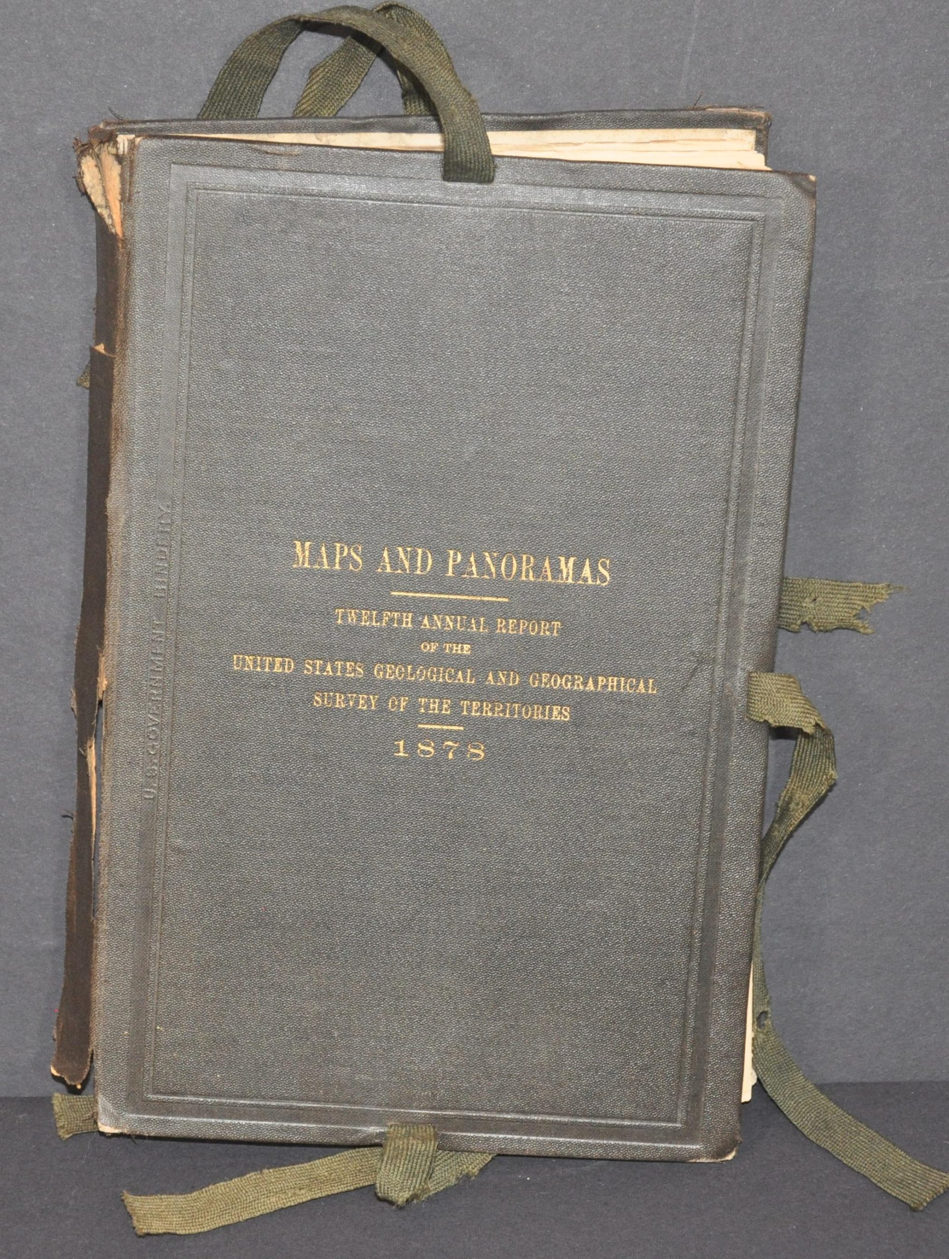
Maps and Panoramas: Twelfth Annual Report of the United States Geological and Geographical Survey of the Territories
Complete map accompaniment from a predecessor to the U.S.G.S.
Out of stock
Description
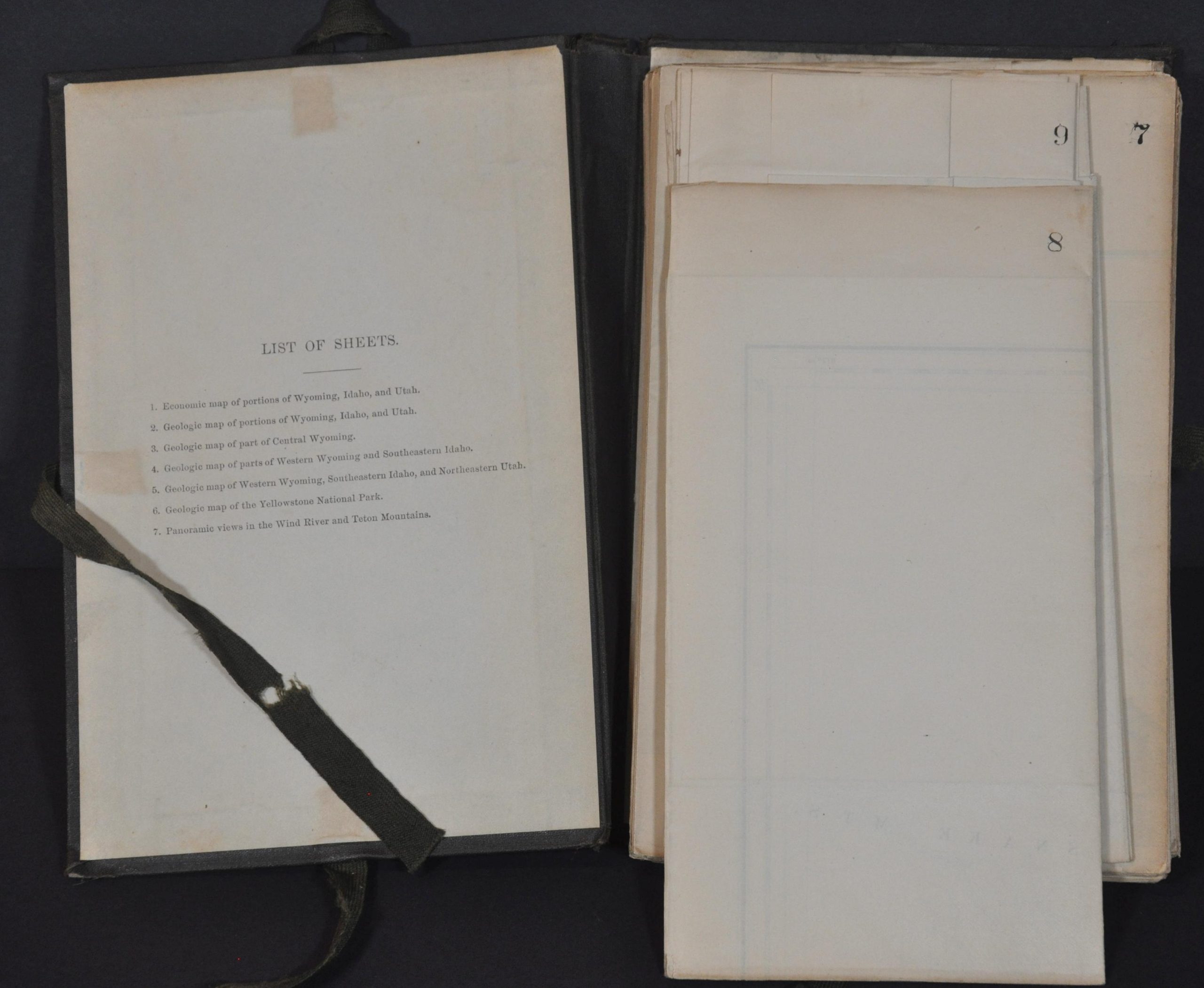
This complete set of geologic and topographic maps was compiled by various members of the United States Geological and Geographical Survey of the Territories under the authority of Ferdinand Hayden and published in 1878 to accompany the bureau’s report to Congress. As his role as geologist-in-charge of the territorial surveys, Hayden led several important expeditions into the largely unknown American West in the late 1860s and 1870s and this is one of the last series of reports that were published under his leadership. The maps, listed below, represent an incredible attention to detail and scientific precision over a largely remote area.
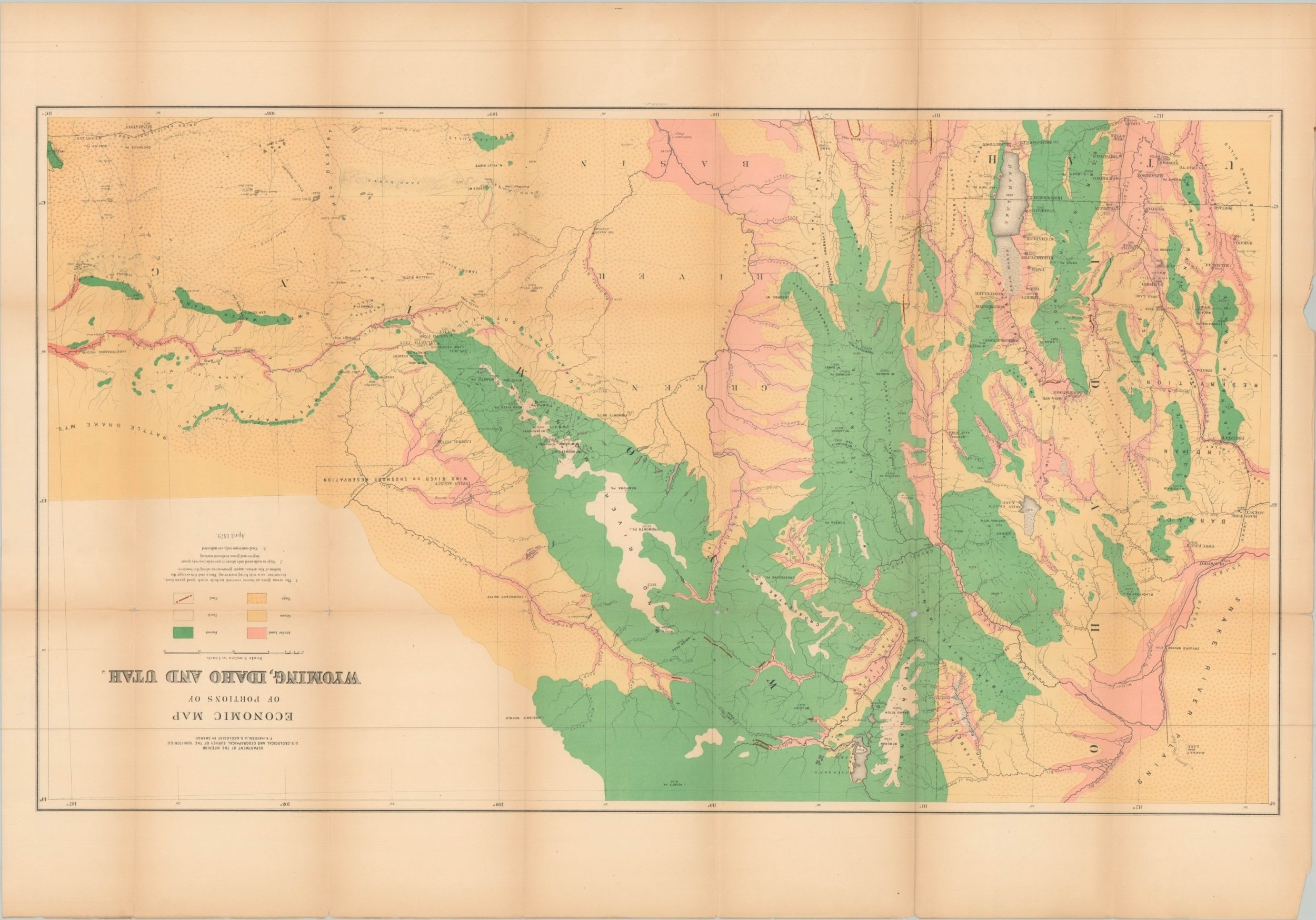
Sheet 1 – Economic Map of Portions of Wyoming, Idaho and Utah: 37.75″ x 26.25″. Good to very good, with slightly brittle paper showing some faint toning and separation along several fold intersections. Bright lithographed color highlights arable land, grass, sagebrush, forest, coalfields, and rock across a vast swathe of western territory.
Sheet 2 – Geological Map of Portions of Wyoming, Idaho and Utah: 38″ x 26.25″. Good condition, but the brittle paper is quite fragile and shows numerous separations along fold lines. Vibrant lithographed color highlights geological formations surveyed by A.C. Peale, Orestes St. John, and F.M. Endlich.
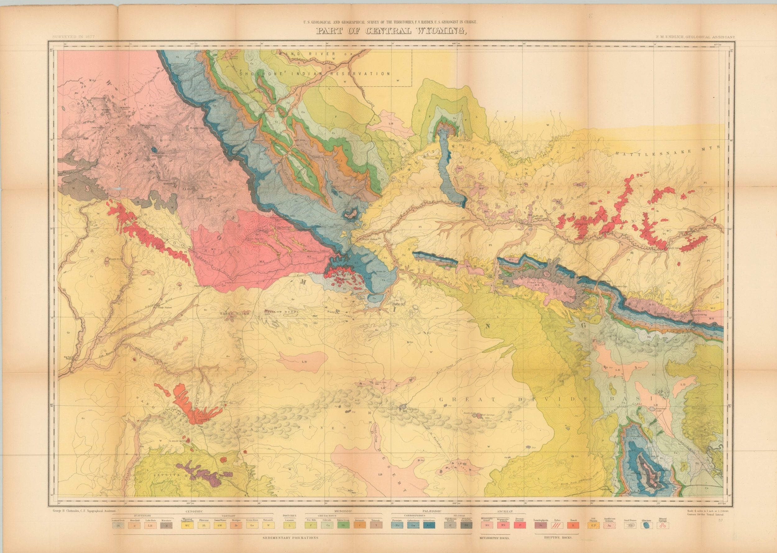
Sheet 3 – Part of Central Wyoming. 37.5″ x 26.5″. Very good condition, with 4 spots of separation along the upper horizontal fold line. Geologic map of Central Wyoming that includes the southern edge of the Wind River Indian Reservation.
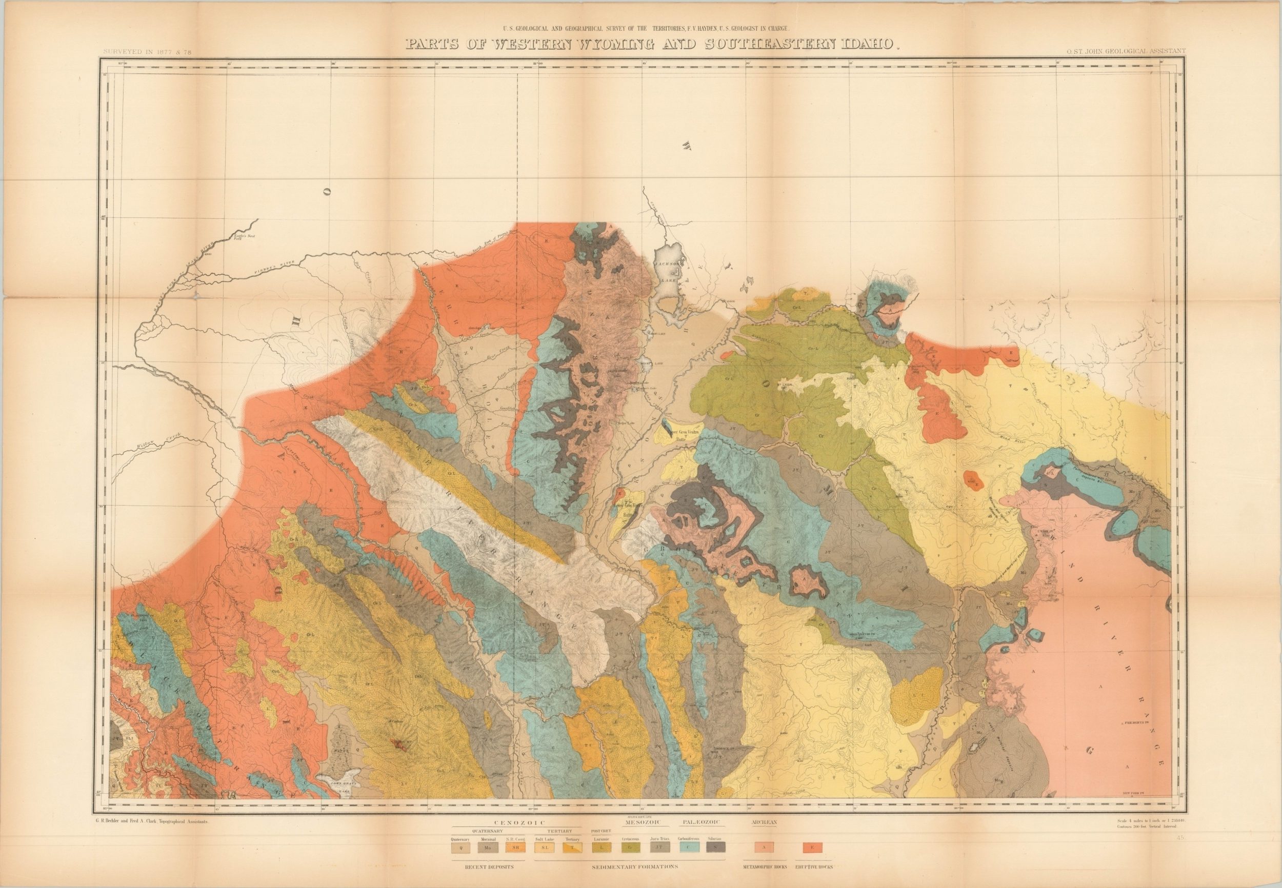
Sheet 4 – Part of Western Wyoming and Southeastern Idaho: 38″ x 26.25″. Very good, with one tear adjacent to the title block, confined to the upper margin, and numerous spots of separation along fold lines. Colorful geologic map of a large area around Jackson Lake, including the Grand Teton range.
Sheet 5 – Part of Western Wyoming, Southeastern Idaho and Southeastern Utah: 38″ x 26.25″. Fair to good condition, moderately toned with several tears along the outer edges, including a small chip in the lower center that just enters the image. Geologic map of the area between Bear Lake and the Green River.
Sheet 6 – Preliminary Geological Map of the Yellowstone National Park: 30″ x 38.75″. Very good condition, with moderate creasing and light wear along fold lines and several small spots of separation at fold intersections. One of the first geologic maps to focus on the park, established by an act of Congress just six years prior to publication. A fascinating snapshot of America’s first national park during its infancy.
Sheet 7 – Panoramic Views: 38″ x 26″. Good condition, with moderate toning throughout and numerous spots of separation along fold lines. The brittle paper makes this one a bit difficult to fold. Three-part panoramic view; Glacial Lake and Moraines on New Fork of Green River, The Glaciers of Fremont’s Peak, and the Teton Range from Upper Grosvenor Butte.
Sheet 8 – Part of Central Wyoming: 34.25″ x 25.75″ Very good condition, with light toning in one area and small holes at fold intersections that could be easily repaired. Stunning contour map of a rugged region along the Sweet Water River.
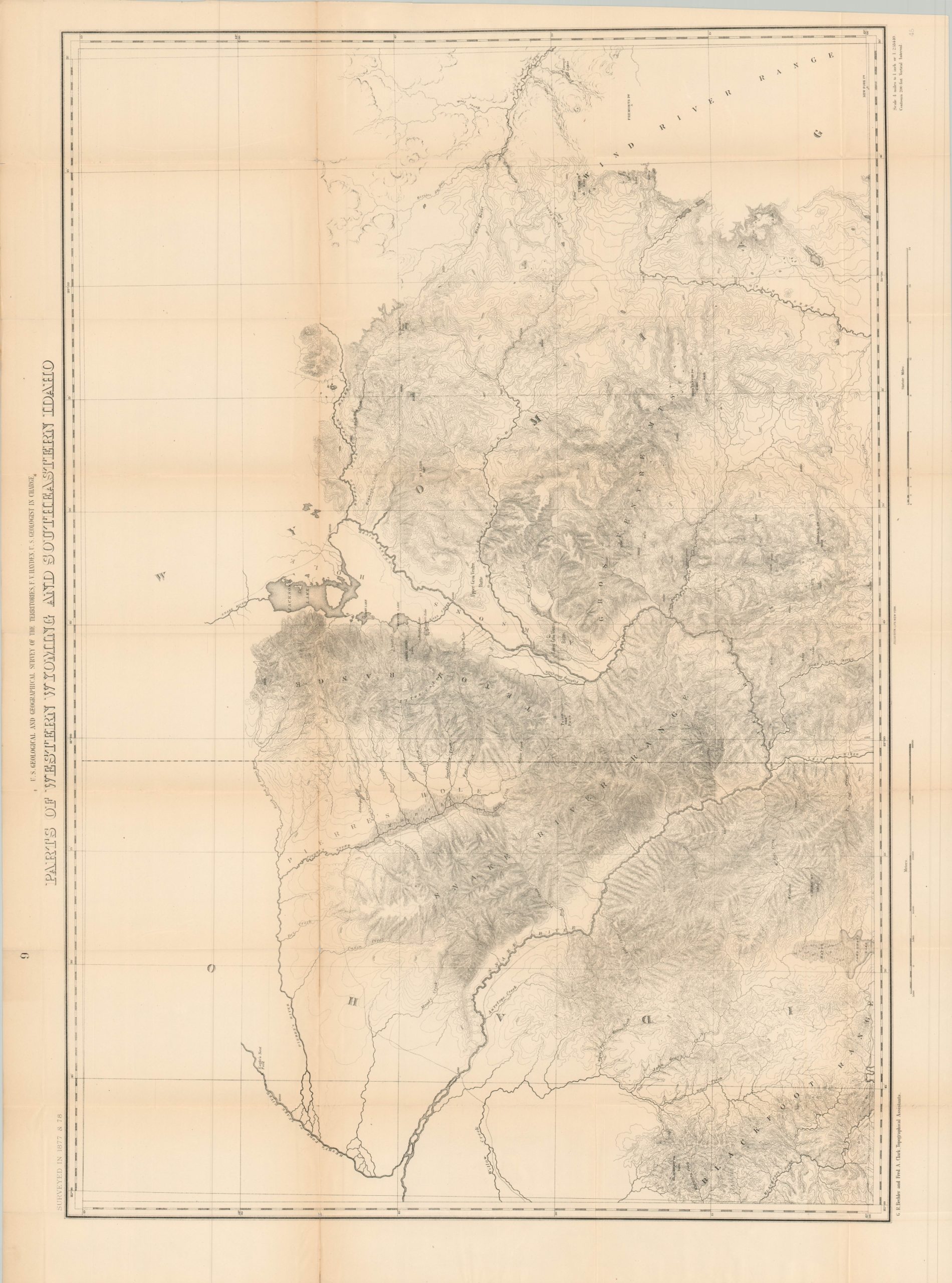
Sheet 9 – Parts of Western Wyoming and Southeastern Idaho: 34.75″ x 25.75″. Very good with light toning and about 3″ of separation in the upper left, just south of Pierre’s River. Contour map that includes portions of the Grand Teton National Park (established 1929).
Sheet 10 – Parts of Western Wyoming, Southeastern Idaho and Northeastern Utah: 35.25″ x 25.75.” Near fine overall, with several small separations at fold lines, one extraneous crease in the lower left, and very faint offsetting. Contour map that includes Bear Lake and shows interesting wagon trails. https://pubs.usgs.gov/circ/c1050/establish.htm
Map Details
Publication Date: 1878
Author: United States Geological and Geographical Survey of the Territories
Sheet Width (in): See Description
Sheet Height (in): See Description
Condition: A-
Condition Description: Collection of folded maps tucked into the original embossed gilt cloth covered boards with original string ties. The binding is broken and loose but the contents are generally very good. Some light toning and brittleness to the paper, consistent with age, that has resulted in some separation along fold lines and faint discoloration.
Out of stock


