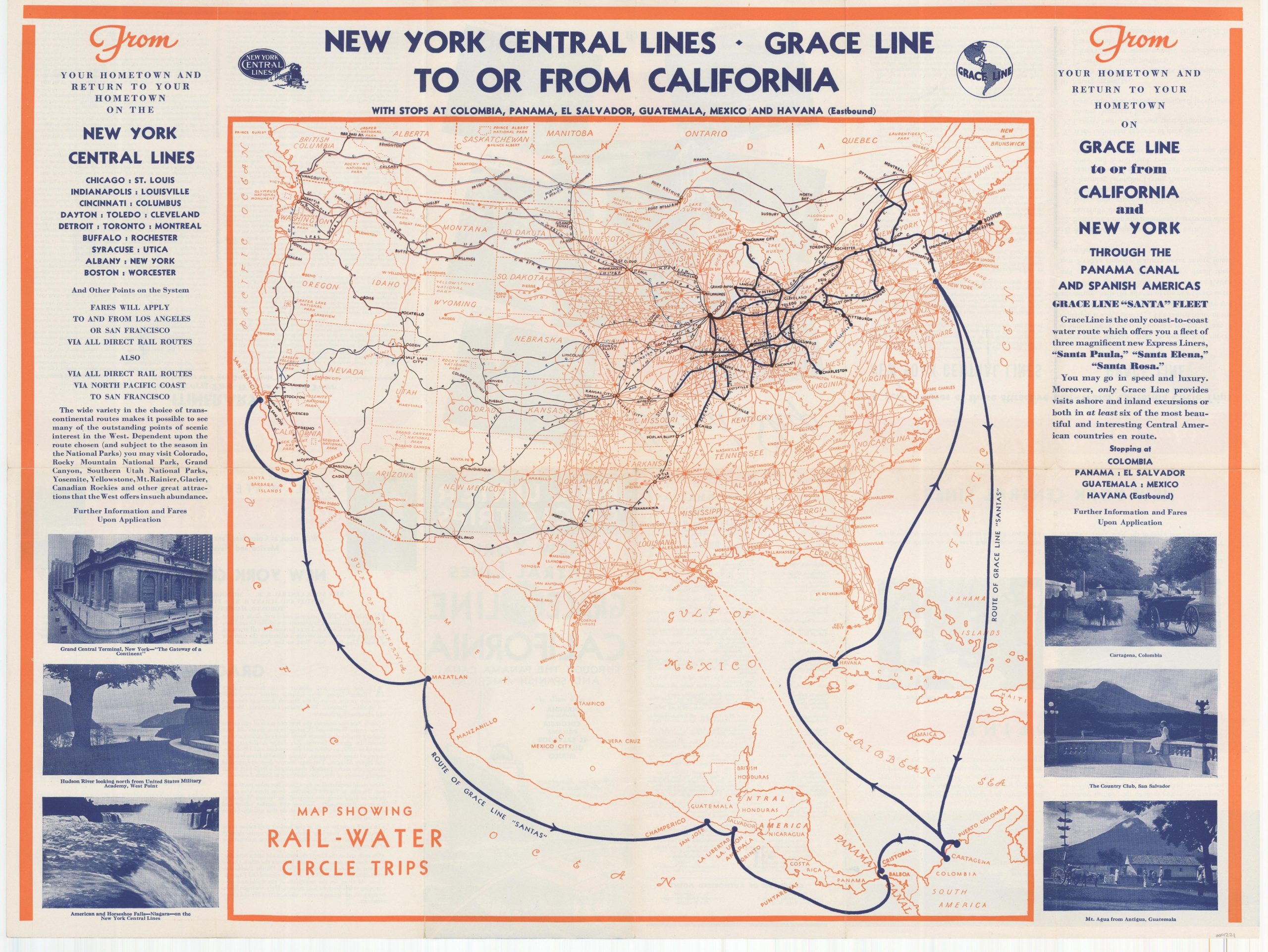
Map Showing Rail-Water Circle Trips [New York Central]
$95.00
“There is probably no conceivable detail of convenience or comfort which the passengers will not find aboard these brilliant new ships.”
1 in stock
Description
This co-branded brochure was published in the mid-1930s to promote the connected transportation network between the New York Central Railroad and the steamship routes in operation by Grace Lines. It unfolds to present a map of the United States and Central America that highlights the system of railways and overseas steamer routes, advertised as the ‘Rail-Water Circle Trip.’
Text and photographs on either side highlight the various stops and connections. References to the Grace Line’s ‘new’ “Santa” fleet – the S.S. Santa Rosa (1932), S.S. Santa Paula (1932), and S.S. Santa Elena (1933) – help to date the map. The verso provides details on the trip’s itinerary, contact information for company agents, photographs of life aboard ship, and “a few features of these attractive Rail-Water California Circle Trips.”
Map Details
Publication Date: c. 1935
Author: Grace Line and New York Central Railroad
Sheet Width (in): 23.75
Sheet Height (in): 17.75
Condition: A-
Condition Description: Creasing and light wear along originally issued fold lines, including pinholes at fold intersections and small tears along the outer edges of the sheet. Very good overall.
$95.00
1 in stock

