Map of the White Mountains and Vicinity
$125.00
Uncommon map of the White Mountains with the 10th edition of Eastman’s Guide.
1 in stock
Description
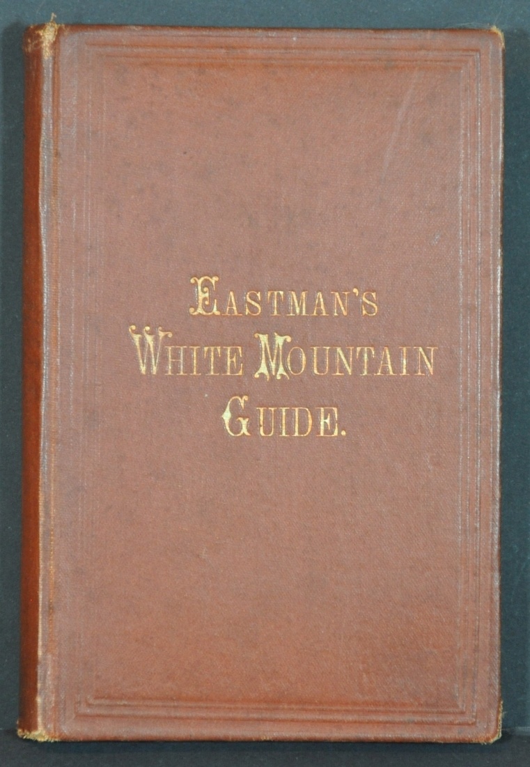
This fascinating and highly detailed map of the White Mountains was prepared by C.H.V. Cavis and lithographed in Boston by the New England Lithograph Company in 1872. It was originally published in the 10th edition of Eastman’s White Mountain Guide, published in Concord by Edson C. Eastman (also in 1872).
The longevity of the publication, printed annually beginning in 1861, reflects continued interest in the region as an outdoor retreat and summer resort area. Primary transportation routes, settlements, and certain accommodations are noted throughout the map, while topography is depicted in hachure. Numerous mountain peaks are labeled with their name and height.
The accompanying guidebook includes nearly 250 pages of text, plates, and charts describing in detail the region’s climate, geography, and accessibility. An additional fold-out map is present, showing the various railroad routes connecting the White Mountains to the rest of New England.
Map Details
Publication Date: 1872
Author: C.H.V. Cavis
Sheet Width (in): 11.50
Sheet Height (in): 14
Condition: B
Condition Description: Moderate wear and creasing along former fold lines, including separation at fold intersections that have been repaired on the verso. An additional jagged 2" hole, lower left, and two 2" tears on the left side, has been closed and repaired on the verso. Paper has curled slightly around the outer edges, but overall remains in good condition. Includes a copy of the 1872 Eastman's White Mountain Guide in good condition. 248 pp. + 8 pp. of advertisements bound in original gilt brown covers. Owner's inscription of Mrs. Emma Pulk Simons, July 9 1873.
$125.00
1 in stock


