
Map of the Straits of Florida and Gulf of Mexico
$200.00
The waters around the Gulf of Mexico, now dominated by the United States.
1 in stock
Description
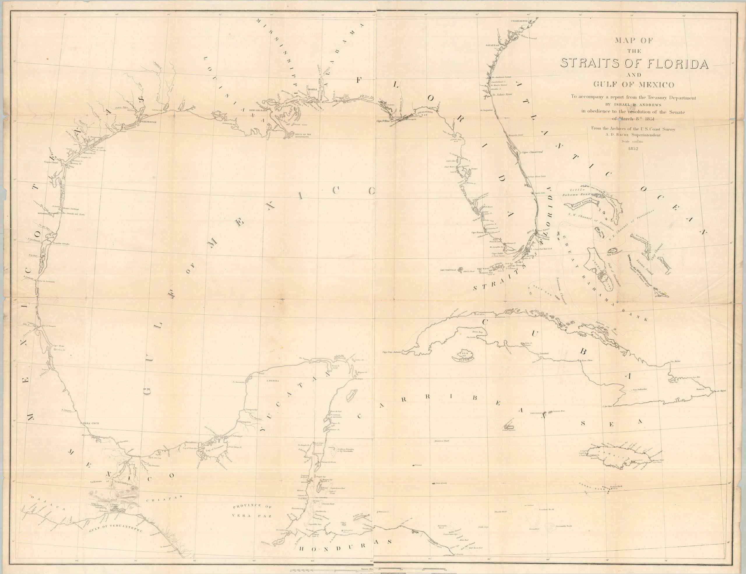
This commanding mid-19th-century chart, issued by the U.S. Coast Survey in 1852, serves as a strategic blueprint of American maritime and territorial ambitions following the Mexican-American War. The map delineates the coastline of the Southeastern United States, Mexico, and the West Indies, providing meticulous detail on lighthouses, maritime hazards, and coastal settlements essential for nineteenth-century commerce.
Published as part of Israel D. Andrews’ landmark Treasury Department report, the map documents a transformative geopolitical landscape. The Texas border is firmly established at the Rio Grande, reflecting the terms of the Treaty of Guadalupe Hidalgo (1848). While the interior remains largely uncharted, significant focus is given to the Isthmus of Tehuantepec. This critical overland route represented the shortest transit point between the Atlantic and Pacific, a ‘proto-canal’ of such immense economic value that the U.S. secured specific transit rights for it in the Gadsden Purchase of 1854.
Map Details
Publication Date: 1852
Author: Israel D. Andrews
Sheet Width (in): 35.50
Sheet Height (in): 27.90
Condition: B
Condition Description: Two sheets, joined along a vertical seam in the center of the sheet. Moderate to heavy wear along former fold lines, including small holes and minor paper loss at fold intersections. Large separations along the seams have been repaired on the verso using archival tape. Marginal wear and scattered light toning, consistent with age. About good condition overall.
$200.00
1 in stock