Map of the St. Louis, Iron Mountain and Southern Railway and Connections
$325.00
“Map of the UNITED STATES, showing the St. Louis, Iron Mountain & Southern Railway, the Great Trunk Line, connecting the Northern Railways at St. Louis with the Southern Railways.
1 in stock

Description
Reorganized from several smaller lines in 1874, the St. Louis, Iron Mountain, and Southern Railway was designed to operate, at least in part, as a bridge between North and South during the Reconstruction Era. It ran from St. Louis to Texarkana until acquired by Jay Gould in 1880, at which point it became part of his vast empire of railroads.
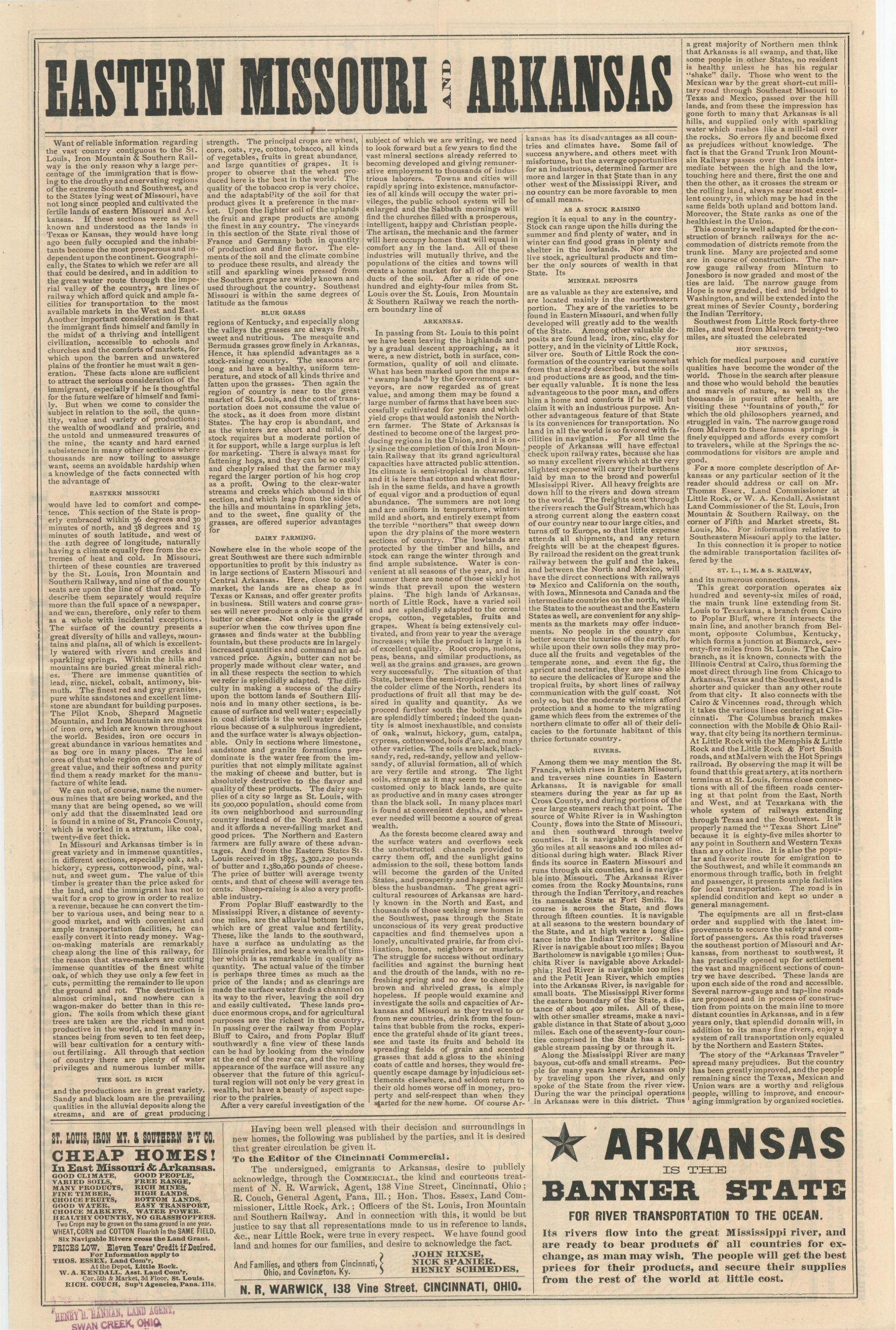
This interesting combination of map and broadsheet was published by the company in 1878 to encourage emigration and tourism along its lines and connections. Numerous stops are crammed along the length of the railroad, with spurs reaching Hot Springs, Sulphur Springs, and Columbus, KY (after crossing the Mississippi River).
Blocks of persuasive text present a myriad of reasons to flock to the lands in Arkansas and Eastern Missouri – good climate, robust transportation access, agricultural productivity, mineral wealth, and much more. The theme continues on the verso, which presents a broadsheet that elaborates on the aforementioned characteristics to help the prospective emigrant make a more informed choice regarding their future.
“Want of reliable information regarding the vast country contiguous to the St. Louis, Iron Mountain & Southern Railway is the only reason why a large percentage of the immigration that is flowing to the drouthy and enervating regions of the extreme South and Southwest, and to the States lying west of Missouri, have not long since peopled and cultivated the fertile lands of eastern Missouri and Arkansas. If these sections were as well known and understood as the lands in Texas or Kansas, they would have long ago been fully occupied and the inhabitants become the most prosperous and independent upon the continent.”
Source. Missouri Pacific Historical Society; University of Texas at Arlington
Map Details
Publication Date: 1878
Author: St. Louis, Iron Mountain and Southern Railway
Sheet Width (in): 12.4
Sheet Height (in): 18.6
Condition: A-
Condition Description: Lightly worn and creased along horizontal and vertical fold lines. Very good overall.
$325.00
1 in stock