
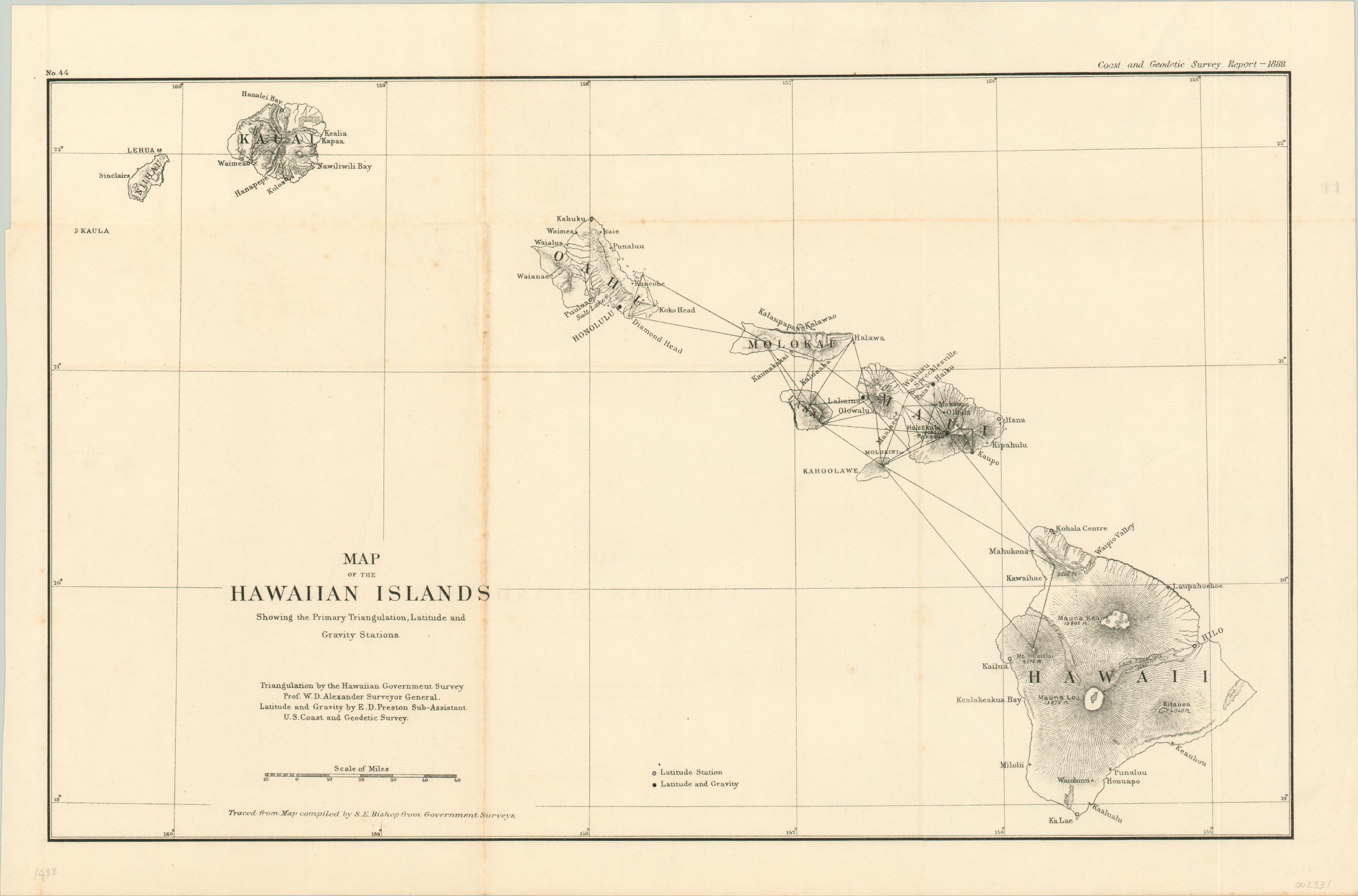
Map of the Hawaiian Islands Showing the Primary Triangulation, Latitude and Gravity Stations
$110.00
U.S. Coast and Geodetic Survey of the Hawaiian Islands from 1888.
1 in stock
Description
Though foreign influence in Hawaii began much earlier, dating to Cook’s voyages, the interest of the United States grew rapidly after it began leasing Pearl Harbor from the Hawaiian government in 1887. In just over five years, the constitutional monarchy of Queen Liliuokalani would be overthrown with the support of the U.S. military. Prior to that point, accurate maps and charts of the islands and their harbors would have to be constructed.
This example was produced by the United States Coast and Geodetic Survey for their annual report in 1888. Measurement stations, lava flows (with corresponding dates), topographic detail, and major geographic features are identified within the image. Triangulation calculations were performed by W.D. Alexander, latitude and gravity by E.D. Preston, and the map was compiled by S.E. Bishop.
Map Details
Publication Date: 1888
Author: Government Printing Office
Sheet Width (in): 22.40
Sheet Height (in): 14.75
Condition: B
Condition Description: Light creasing and moderate discoloration along former fold lines, most evidently along a vertical fold on the left side. Remains in good condition otherwise.
$110.00
1 in stock