U.S. Coast Survey
Showing all 15 resultsSorted by latest
-

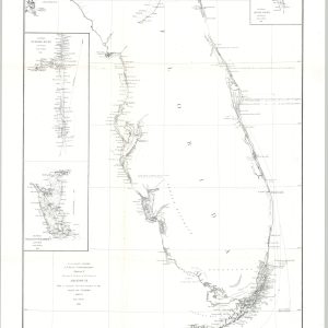
Sketch F. Showing the Progress of the Survey in Section VI with a General Reconnaissance of the Coast of Florida
$100.00 Quick View -
Coast Chart No. 107 Matagorda Bay Texas
$95.00 Quick View -
Map of the Vicinity of the Golden Gate San Francisco Bay California
$75.00 Quick View -
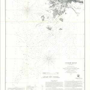
Cedar Keys Florida
$110.00 Quick View -
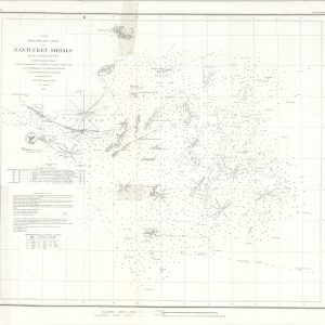
Preliminary Chart of Nantucket Shoals Massachusetts
$95.00 Quick View -
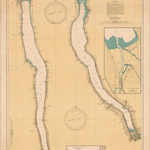
New York State Canals
$150.00 Quick View -
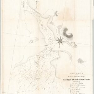
Harbour of Bridgeport, Conn.
$75.00 Quick View -
Map of the Straits of Florida and Gulf of Mexico
$175.00 Quick View -
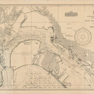
San Diego Bay
$125.00 Quick View -
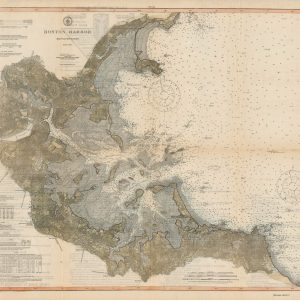
Boston Harbor Massachusetts
Quick View -
Map of the Hawaiian Islands Showing the Primary Triangulation, Latitude and Gravity Stations
$110.00 Quick View -
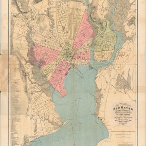
City and Vicinity of New Haven Connecticut
$450.00 Quick View -
Sketch Showing the Positions of the Beacons on the Florida Reefs
Quick View -
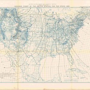
Isogonic Chart of the United States for the Epoch 1890
Quick View -
Sketch Showing the Progress of the Survey on the Atlantic Gulf of Mexico and Pacific Coast of the United States
$295.00 Quick View