
Cedar Keys Florida
$110.00
Developing the Florida coast in the mid-19th century.
1 in stock
Description
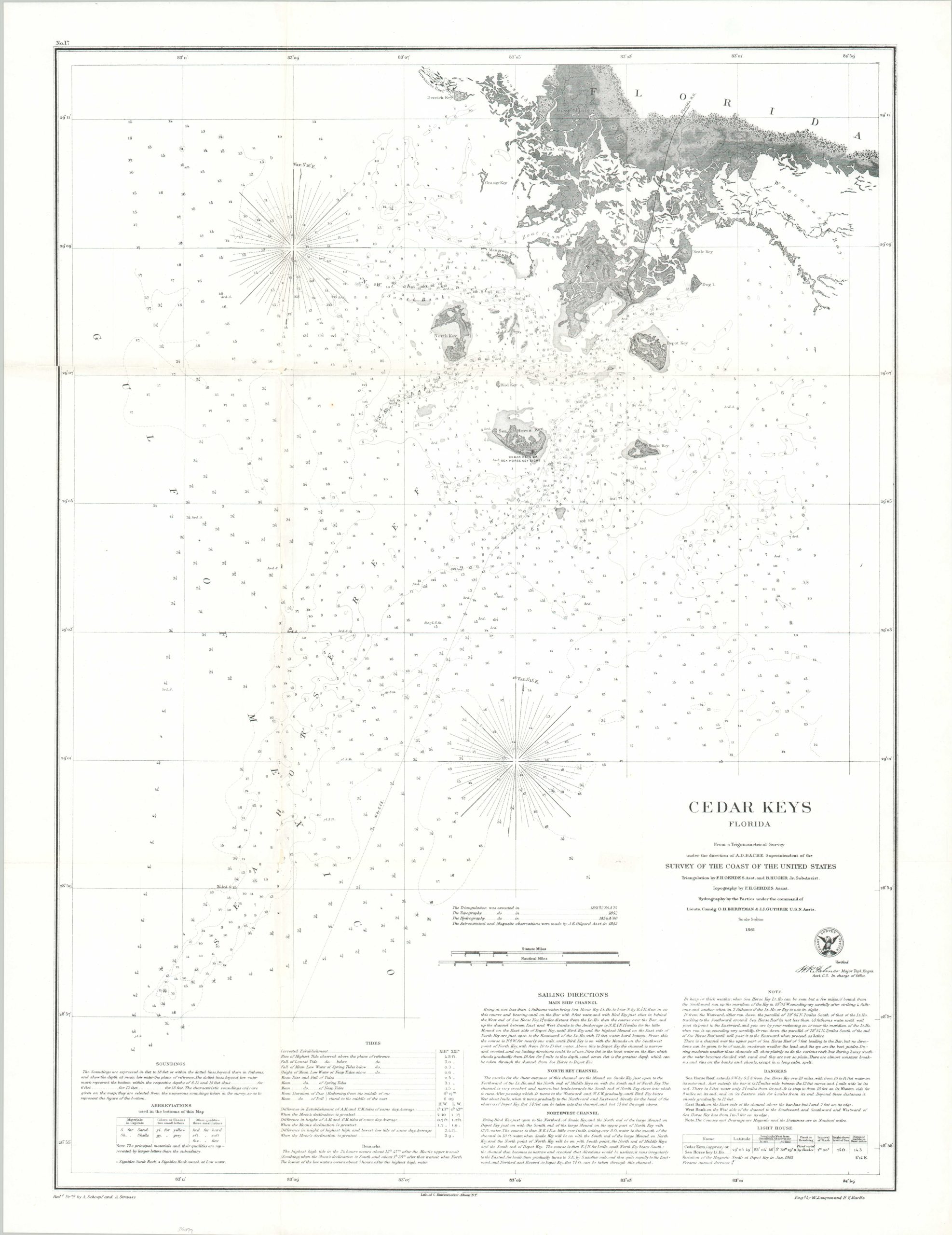
This detailed navigational chart was compiled by a team of surveyors from the U.S. Coastal Survey and published in 1861 under agency Superintendent A.G. Bache. It presents an overview of the maritime hazards around Cedar Keys, Florida; located on the state’s Gulf coast about 160 miles north of Tampa.
Dozens of depth sounds are noted throughout the image, along with shoals, sunken rocks, and other dangers. Sailing directions and information about tides are provided at the bottom of the page. Also of interest is the Florida Railroad, completed the same year as publication. The line and its rolling stock would suffer severe damage during the Civil War from an 1862 bombardment from the USS Hatteras.
Map Details
Publication Date: 1861
Author: U.S. Coastal Survey
Sheet Width (in): 21.5
Sheet Height (in): 27.6
Condition: A-
Condition Description: The sheet has been professionally cleaned and flattened, with a fe archival repairs on the verso reinforcing several of the old folds. Minor image loss on the center left as a result, but overall in good to very good condition. Blank on verso.
$110.00
1 in stock