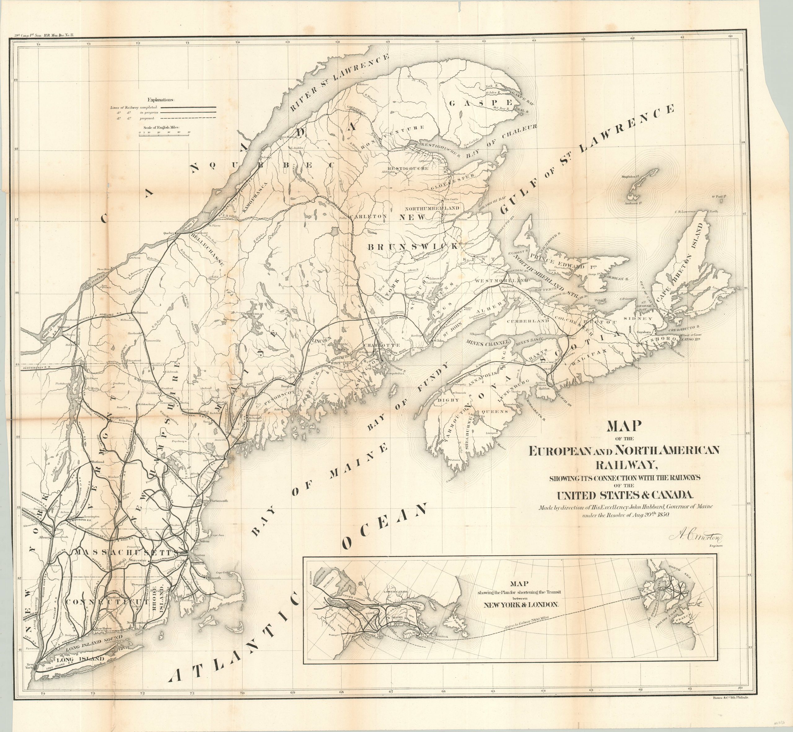
Map of the European and North American Railway.
$95.00
Railway map of the northeastern United States and parts of Canada.
1 in stock
Description
The Europe & North American Railway was conceived at a railroad conference in Portland, Maine in 1850 as a combination of three American and Canadian companies. Portland was the northeastern terminus of the U.S. rail system, and the E&NA was organized to connect it to an ice-free Atlantic port in Nova Scotia, which would in theory substantially reduce trans-Atlantic crossing times.
This map shows the network of the E&NA shortly after inception, from New York to the St. Lawrence River, and lists lines proposed, in progress, and completed .An inset map highlights the shorter distances achieved by the railway – Canso to Galway was a scant 2,000 miles, compared to New York to Southhampton (over 3,400 miles).
Published in Philadelphia by Bowen & Co. as House of Representatives Miscellaneous Document Number 13 for the 1st session of the 39th Congress (1865 – 1867).
Map Details
Publication Date: 1865
Author: A.C. Morton
Sheet Width (in): 31
Sheet Height (in): 28.7
Condition: B
Condition Description: Moderate toning, discoloration and creasing along originally issued fold lines. A few small holes at fold separations and narrow left margin.
$95.00
1 in stock

