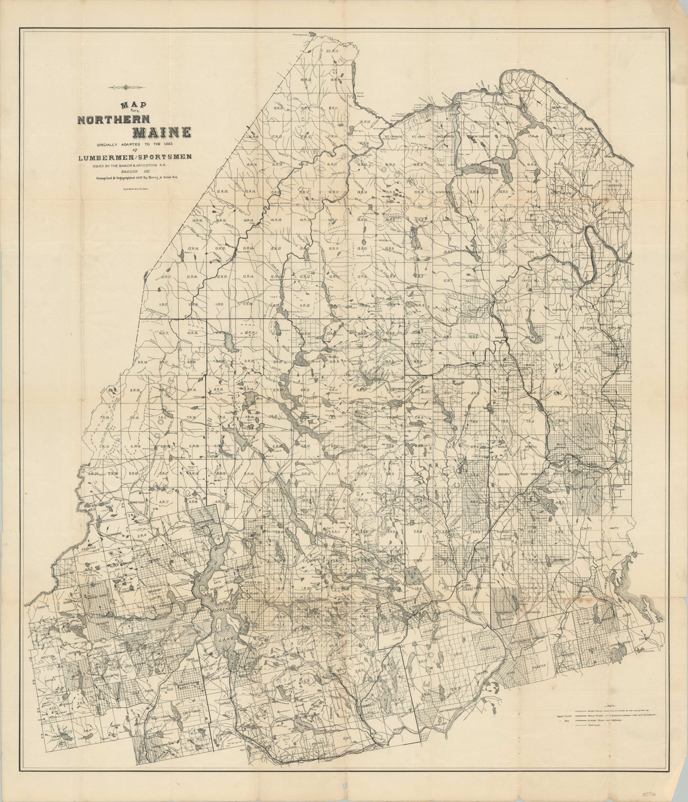
Map of Northern Maine Specially Adapted to the Uses of Lumbermen and Sportsmen
$275.00
Mapping two staples of Maine’s economy in the late 19th century.
1 in stock
Description
This detailed map of northern Maine covers most of the Pine Tree State’s Territory above the Penobscot and Piscataquis Rivers. Much of the region remained remote and unsurveyed, accessible only via a patchwork series of coach roads (note the legend in the lower right) and a handful of steam railroads in operation.
Various toponyms identify landmarks (dams, towns, mills), local amenities (portages, camps), and geographic features (bogs, creeks, hills) that would have been of particular interest to the hunter or lumberjack – the target audience of the production, according to its title.
The map was compiled and copywritten in 1897 by Harry Arthur Fink and lithographed in Boston by George H. Walker & Company. Issued on behalf of the Bangor & Aroostook Railroad to encourage ridership along its line, which can be seen running north on the right side of the page. Several editions were published variously between the late 1870s and the early 1900s.
Map Details
Publication Date: 1897
Author: Harry A. Frink
Sheet Width (in): 28.75
Sheet Height (in): 34
Condition: B
Condition Description: Moderate wear, separation, and toning along originally issued fold lines, concentrated most heavily in the lower right corner. Several small tears along the outer edges of the sheet are confined to the margins, with the largest (about 2") repaired on the verso with archival tape. About good condition overall.
$275.00
1 in stock

