
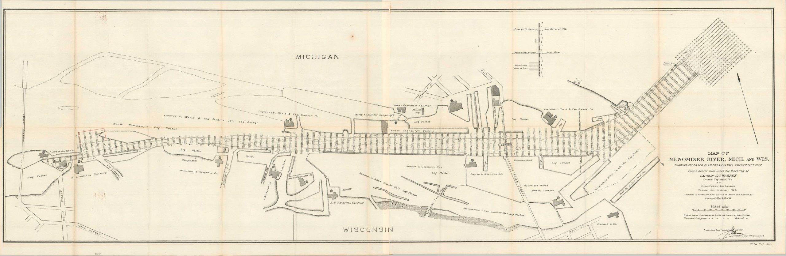
Map of Menominee River, Mich. and Wis. Showing Proposed Plan for a Channel Twenty Feet Deep
$165.00
Late 19th-century plans to improve the navigability of the Menominee River near its mouth.
1 in stock
Description
This detailed engineering plan depicts the carefully surveyed course of the Menominee River between Marinette, Wisconsin, and Menominee, Michigan. It was drawn by Assistant Engineer Walter A. Means under the direction of Captain J. G. Warren of the U.S. Army Corps of Engineers and published as part of a 1900 Congressional volume detailing the activities of the War Department.
At the turn of the century, the Menominee River corridor was one of the nation’s great lumber-producing centers, with numerous sawmills, lumber companies, and log-storage facilities lining the river. The map labels several of these operations and fills the waterway with detailed depth soundings, documenting the river as both an industrial thoroughfare and a working lumber landscape. Particularly evocative are the “log pockets” of the Menominee River Lumber Company, enclosed areas used for storing and sorting the vast quantities of timber floated downriver from the Upper Midwest’s forests.
Map Details
Publication Date: 1900
Author: Walter K. Means
Sheet Width (in): 54.50
Sheet Height (in): 17.75
Condition: B+
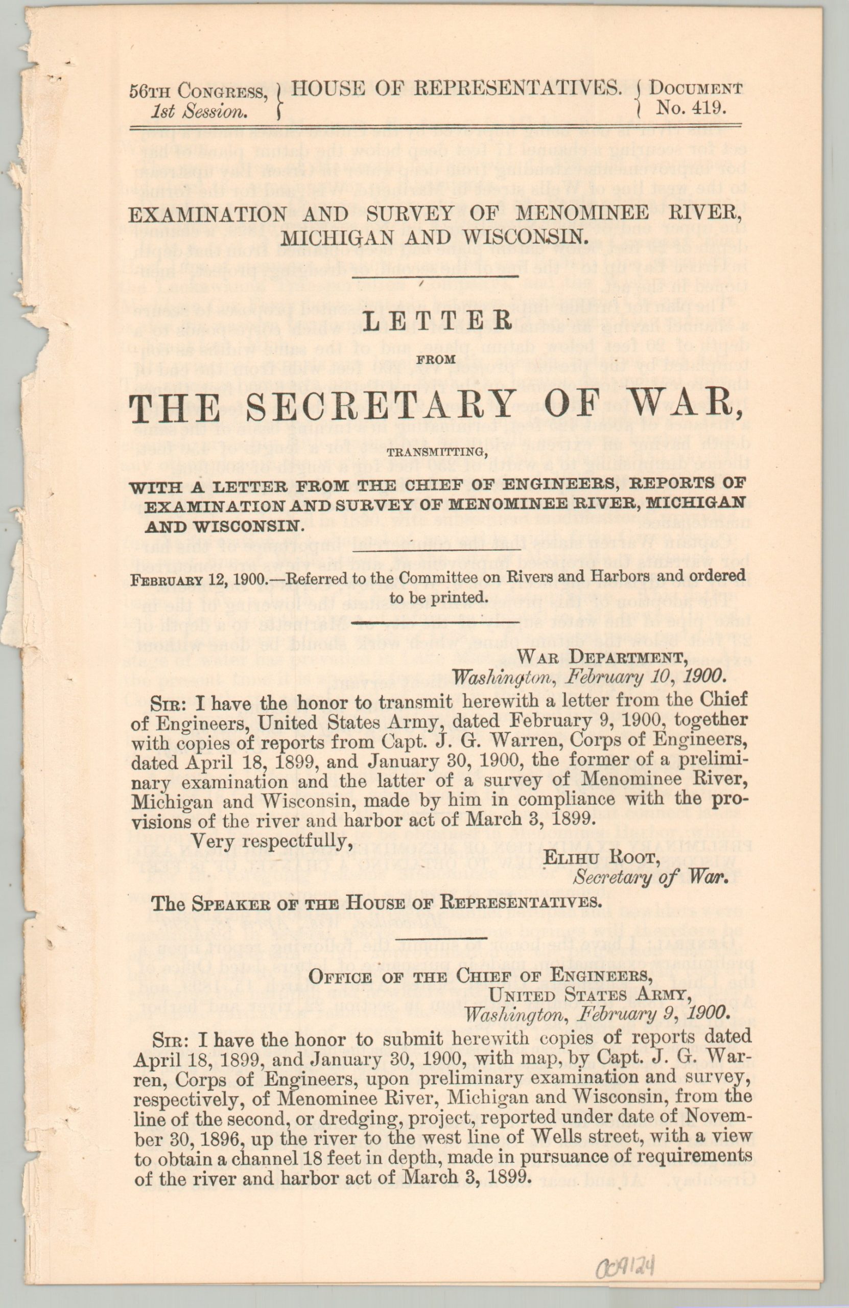
Condition Description: Large single-sided sheet on somewhat thin paper. Creasing and wear along folds, including small splits at the joints, wrinkling, small splits, and areas of discoloration/toning. Good condition overall. Includes 7 pages of related text.
$165.00
1 in stock