Map of Canadian Rockies and the Triangle Tour of British Columbia [Title on Front Cover]
$119.00
Eye-catching tourist map issued by the Canadian National Railways.
1 in stock
Description
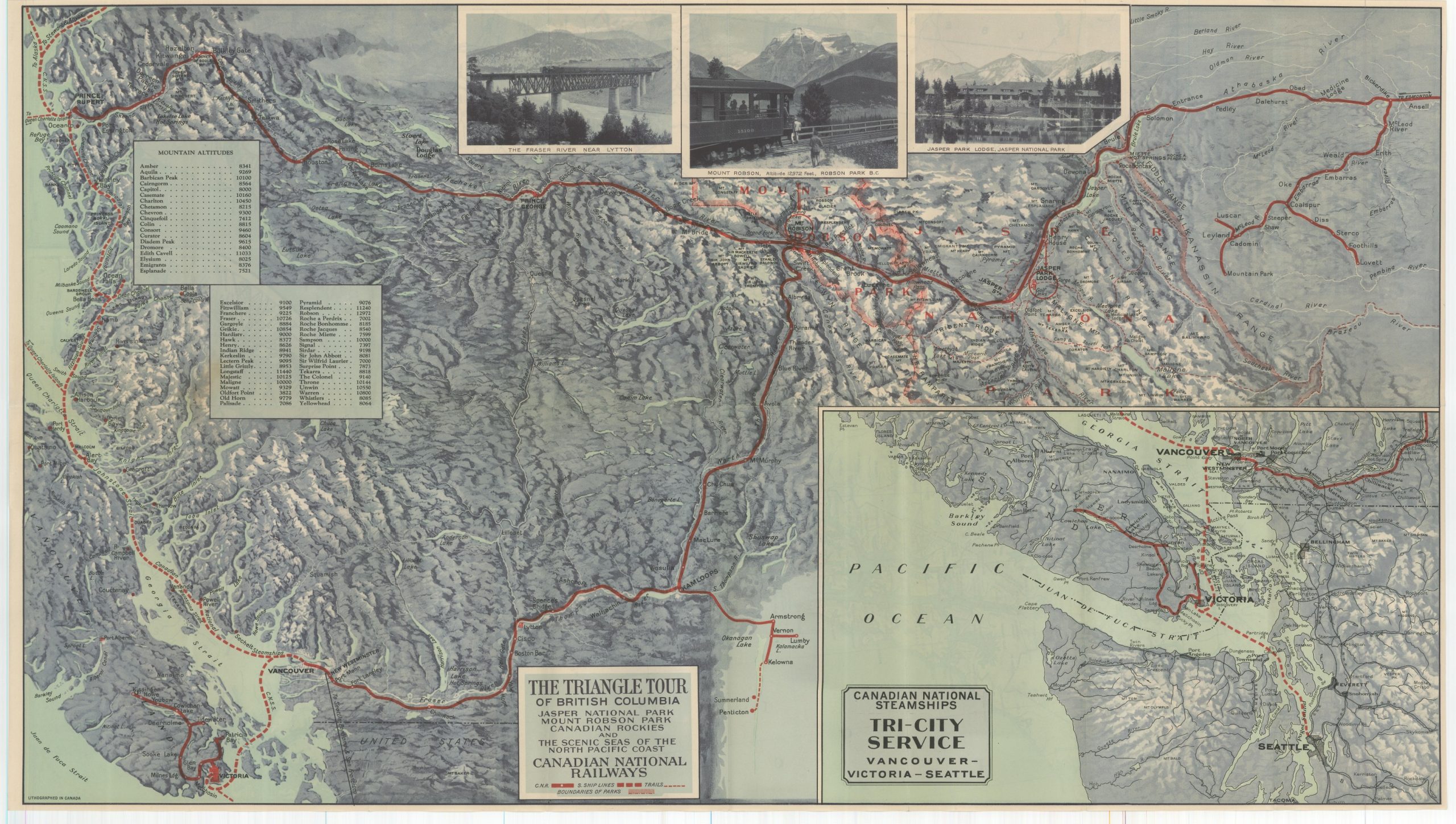
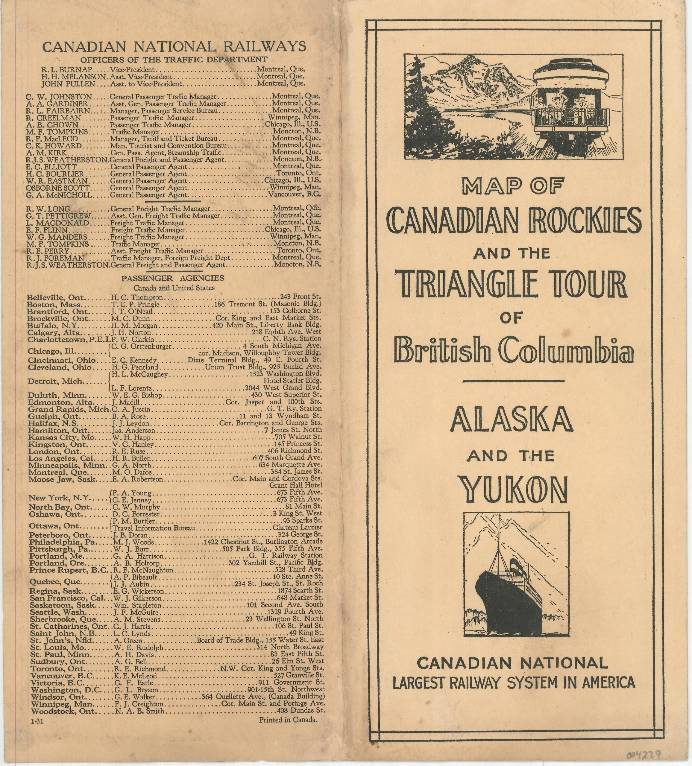
This color lithographed brochure was issued by the Canadian National Railways (CNR) in 1931, according to the date code on the back cover. The nationalized firm was organized about a decade earlier by the Canadian Government after a number of private railway companies fell into bankruptcy. The absorption of Canada’s Grand Trunk Railway in 1923 allowed the CNR to claim the title of ‘largest railway system in America’, as proudly proclaimed on the front cover.
Now disbound, the double-sided map of British Columbia highlights the Triangle Tour between Vancouver, Prince Rupert, and Mt. Robson/Jasper Park Lodge in the Canadian Rockies. Tables provide heights for dozens of different mountain peaks and three images show breathtaking natural beauty combined with the conveniences of modern-day travel. An inset map in the lower right corner shows routes in operation by Canadian National Steamships between Vancouver, Victoria, and Seattle.
The verso takes an entirely different geographical approach, showing the western portions of British Columbia, southern Alaska, and the Yukon. Both steamship lines and railroads (completed and under construction) are presented in bright red, along with the locations of wireless stations and navigational beacons. https://www.britannica.com/topic/Canadian-National-Railway-Company
Map Details
Publication Date: 1931
Author: Canadian National Railways
Sheet Width (in): 29.8
Sheet Height (in): 16.6
Condition: A-
Condition Description: Double-sided map formerly folded into 16 panels. Now removed from original stiff paper wraps (still present). Faint damp staining in the center left and light creasing along former fold lines. Very good overall.
$119.00
1 in stock


