Map of Ann Arbor Showing the University of Michigan and Public Buildings
$80.00
Depression-era campus plan and guidebook to the University of Michigan.
1 in stock
Description
This detailed street guide of Ann Arbor, Michigan shows the location of 175 public buildings and structures on the campus of the University of Michigan. An index on either side provides the name of each, while local advertisements anchor each corner. A church directory is available on the verso.
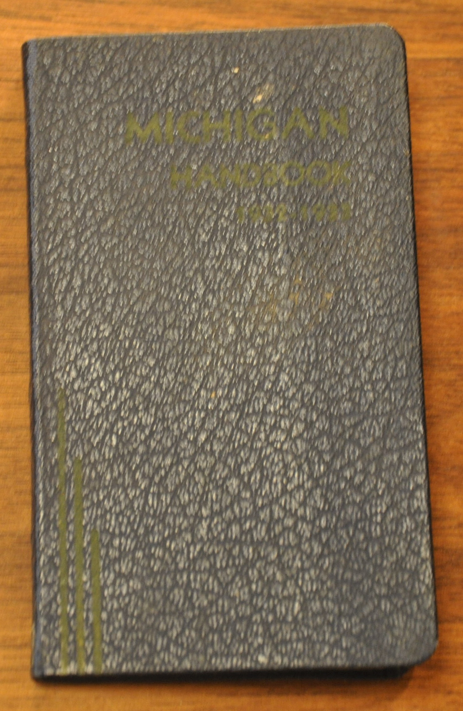
The map, dated 1929, was drawn by Shirley W. Smith and prepared by the Buildings and Grounds Department. It is shown here as a fold out in the back of the official school handbook to the 1932/1933 school year. The 168 page publication was presented by the Student Christian Association and includes a list of songs, a calendar, and helpful information on campus affairs.
Map Details
Publication Date: 1929
Author: Shirley W. Smith
Sheet Width (in): 15.60
Sheet Height (in): 8.90
Condition: A-
Condition Description: Folding map issued affixed to the back cover of a guidebook to campus. 168 pp., 3" x 5", with blue leather covers in very good condition. Folding map in the back in similarly good condition, with a bit of wear along fold lines and minor discoloration from the adhesive.
$80.00
1 in stock


