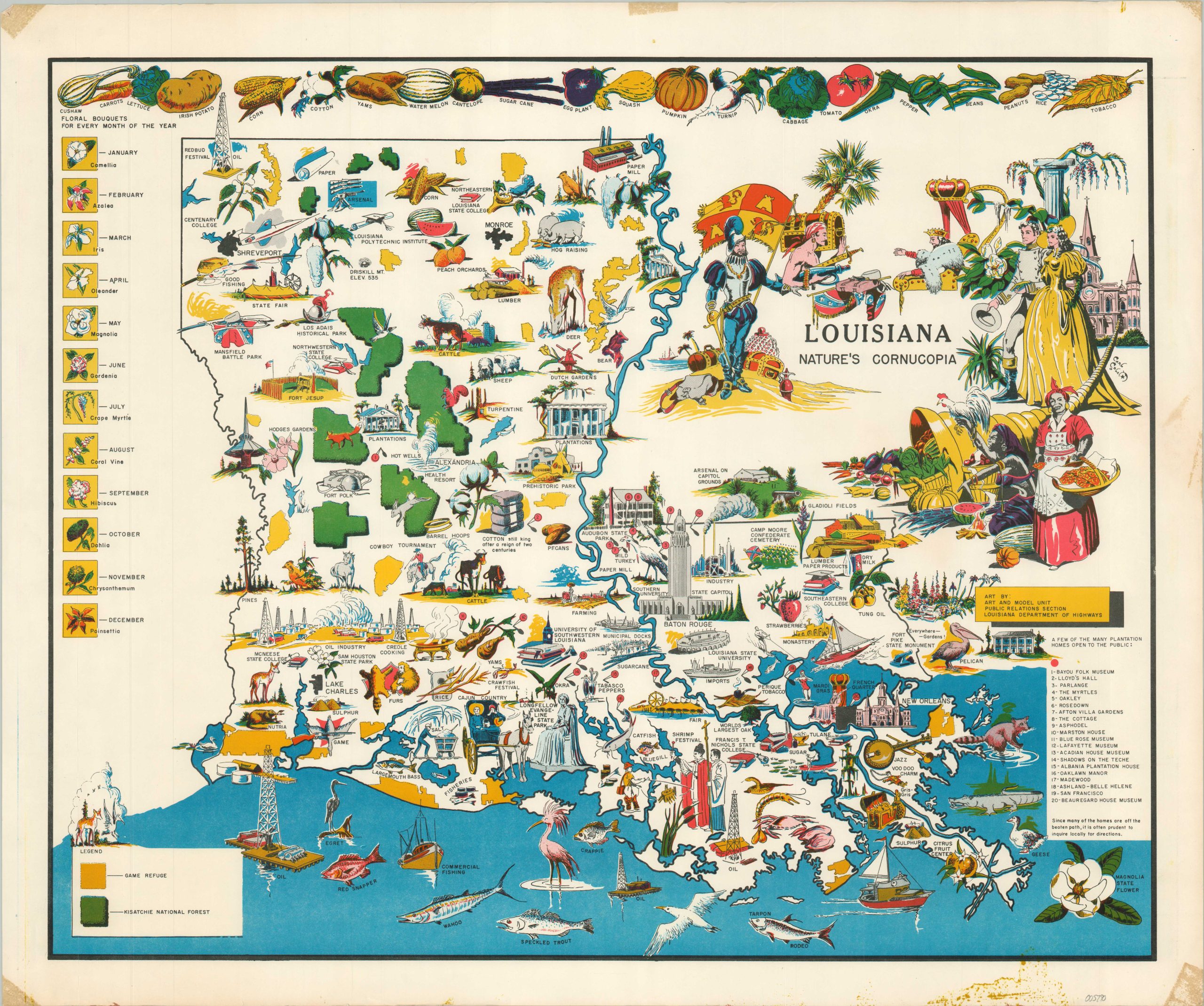
Louisiana Nature’s Cornucopia
$395.00
1 in stock
Description
This brightly colored pictorial map showcases the natural bounty, rich history, and complex cultural heritage of Louisiana. Dozens of skillfully illustrated vignettes highlight important agricultural exports, notable people, significant locations, and local wildlife. Floral bouquets for every month of the year are provided in the upper left, while the top of the page is filled with pictures of foodstuffs produced across The Pelican State.
The map was originally illustrated by Carl Corley and published in the late 1960s or early 1970s by the Public Relations Section of the Louisiana State Highway Department. One of several editions issued (most commonly in black and white), Corley is uncredited on this example. He worked as an engineering artist for the Mississippi and Louisiana Departments of Transportation for nearly forty years, after serving honorably in World War II. At the same time, he was also authoring and self-publishing semi-biographic homosexual erotica and graphic novels. Corley’s extensive papers documenting his complicated life and work are housed at Duke University.
Map Details
Publication Date: c. 1970
Author: Carl Corley
Sheet Width (in): 23.9
Sheet Height (in): 19.8
Condition: A-
Condition Description: Scattered spotting in the lower right corner, confined primarily to the margin. Lightly wrinkled and worn along the edges of the sheet, where previously rolled. Very good condition overall.
$395.00
1 in stock

