
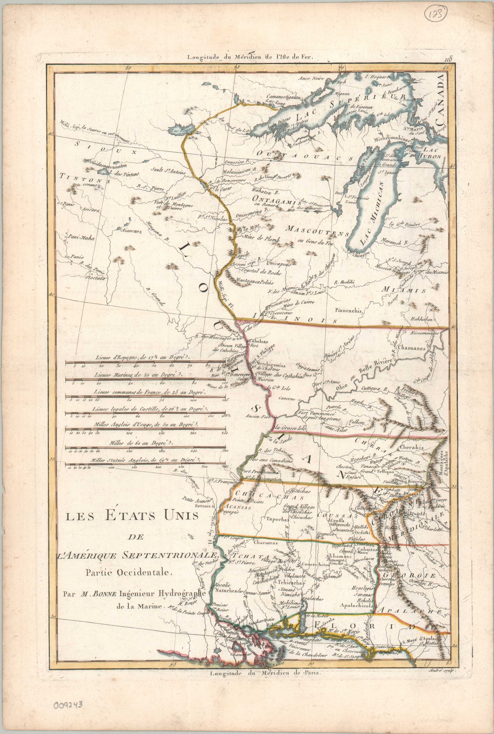
Les Etat Unis de l’Amérique Septentrionale Partie Occidentale
$250.00
The western United States just a few years after the Treaty of Paris ended the Revolutionary War.
1 in stock
Description
This interesting 18th-century French map was published in Paris around 1787 as part of a work by Royal Geographer Rigobert Bonne. It depicts the region between the Appalachian Mountains and the Mississippi River, encompassing much of the western frontier claimed by the newly independent United States.
Scattered forts, trading posts, missions, and small settlements mark the extent of European-American presence in a region where control remained contested and large areas had yet to be extensively mapped by Europeans. Numerous Native American villages are identified, while the territories associated with various Indigenous peoples are labeled with varying degrees of precision. These details underscore the continued presence of Indigenous communities across the region, whose inhabitants far outnumbered those of the scattered European-American settlements.
Map Details
Publication Date: c. 1787
Author: Rigobert Bonne
Sheet Width (in): 11.10
Sheet Height (in): 16.30
Condition: B+
Condition Description: Copperplate engraved map with a nice impression and attractive outline color. Scattered offsetting from the black ink faintly affects much of the image and there is some moderate scattered soiling in the margins. Small embossed ex-libris stamp in the upper right. Good condition overall.
$250.00
1 in stock