Johnson City
“He was headed west from the Cumberland Gap, to Johnson City, Tennessee.”
Out of stock
Description
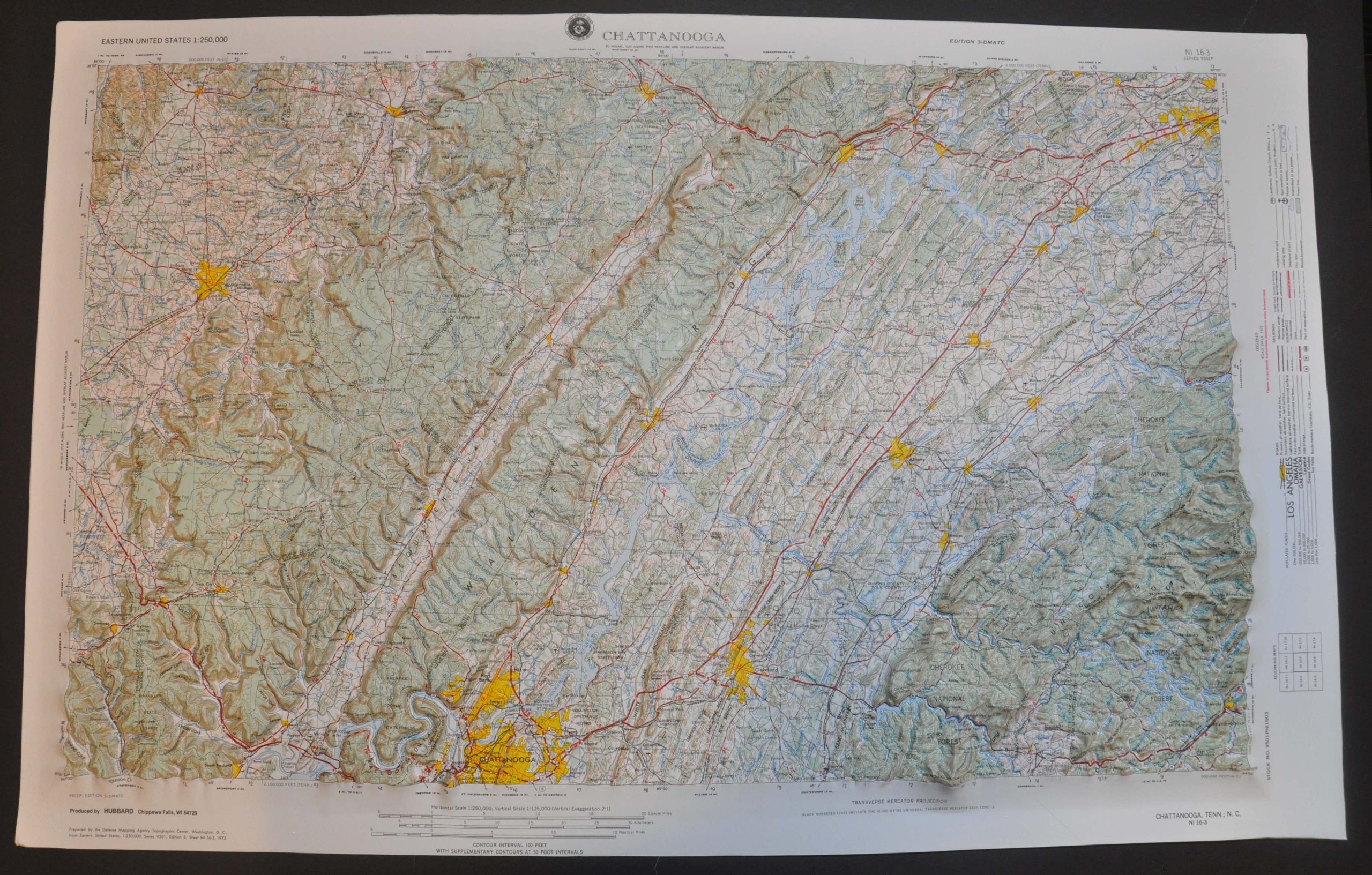
This informational topographic map was prepared by the Defense Mapping Agency Topographic Center in Washington, D.C., and published around 1966 by Hubbard Scientific, Inc. of Chippewa Falls, WI. Issued at a scale of 1:125,000, the map offers a detailed overview of the transportation network, geographic features, and settlement patterns around Johnson City, TN.
A legend on the right side indicates that road data from 1972 was used (helping to narrow the date) and identifies the various symbols used to denote landmarks, airfields, infrastructure, and more. Toponyms label settlements according to their respective population sizes.
Distances between points (red stars) are noted and elevation data is occasionally supplied. Notable features captured within the borders include Cherokee National Forest, Knoxville, portions of the Appalachian Trail, and the Cumberland Gap.
Map Details
Publication Date: c. 1966
Author: Hubbard Scientific, Inc.
Sheet Width (in): 32.5
Sheet Height (in): 20.5
Condition: A
Condition Description: Molded plastic topographic map with full margins and original plastic sleeve. Very good to near fine condition overall.
Out of stock