
Historic Algiers The Heart of New Orleans
$200.00
A lively mid-80’s overview of the historic New Orleans neighborhood of Algiers.
1 in stock
Description
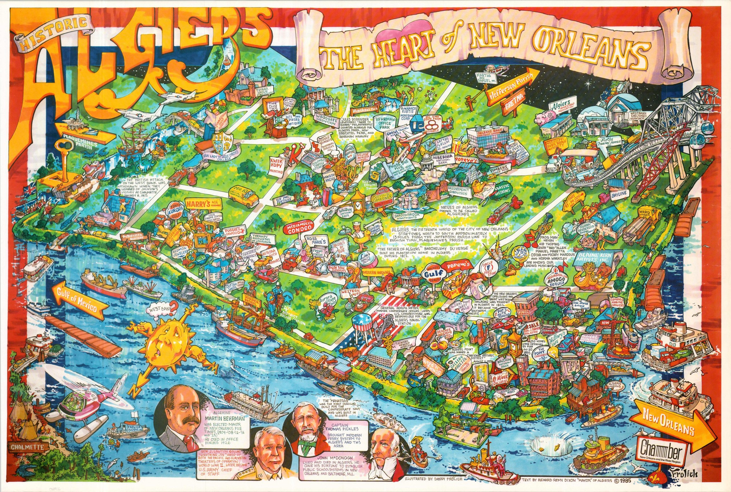
This amusing cartoon overview shows the neighborhood of Algiers, the only Orleans Parish community located on the West Bank of the Mississippi River. The area was settled as a plantation in the early 18th century and annexed by the city in 1870 as the 15th ward. It served as a major hub for the shipbuilding and railroad industries and was a cornerstone of the early popularization of Jazz music in the United States.
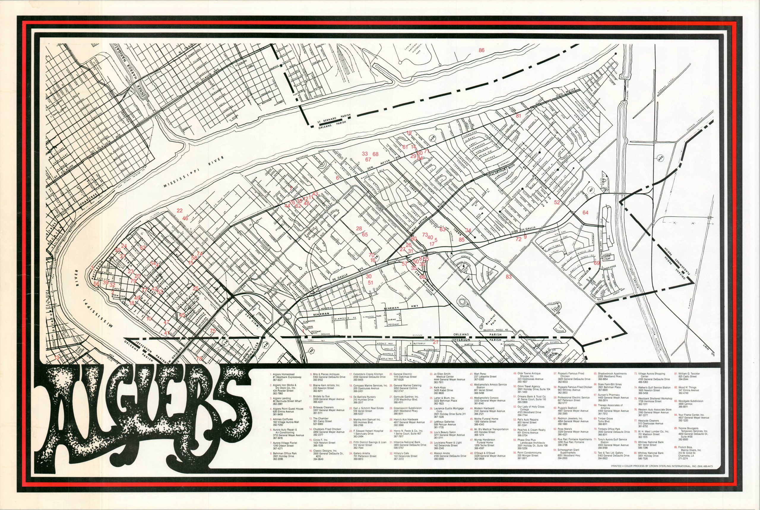
The colorful poster map was issued during a period of urban revitalization and highlights the diverse local economy, rich history, and variety of cultural and recreational opportunities. Numerous small businesses are illustrated and accompanied by promotional ‘signage’. Geographic accuracy is largely overlooked in favor of aesthetic appeal – many of the dense residential and industrialized areas are omitted in favor of green space. The Mississippi River is filled with a variety of watercraft, ranging from the ironclad Manassas to coal barges and car ferries.
Four famous ‘Algerines’ are pictured in the lower left – Martin Behrman, Gen. J. Lawton Collins, Captain Thomas Pickles, and John McDonogh. The map was illustrated by Danny Frolich, with text by Richard Remy Dixon, the ‘Mayor’ of Algiers. Copyrighted in 1985 and published with the support of the New Orleans and the River Region Chamber of Commerce.
Map Details
Publication Date: 1985
Author: Danny Frolich
Sheet Width (in): 36.50
Sheet Height (in): 24.00
Condition: A
Condition Description: Color printed map on a single-sided sheet of glossy paper. The far left side of the image appears a bit blurry, as issued. slightly wrinkled, were previously rolled, but overall in very good condition.
$200.00
1 in stock