[Geologic Maps of Michigan’s Upper Peninsula]
The first survey of Michigan’s Upper Peninsula.
Out of stock
Description
This interesting collection of maps was originally published in 1849 by the Government Printing Office as part of a report issued to the U.S. House of Representatives during the commencement of the first session of the thirty-first Congress. According to the Smithsonian Institution;
“Following the establishment of the State of Michigan and the Territory of Wisconsin in 1836, interest arose in the mineral resources of these regions. William Austin Burt, a United States Deputy Surveyor in the region, found that local iron deposits caused serious disturbances in his magnetic compass, leading him to develop the solar compass (several of which are in the Museum collections). Congress authorized a geological survey of the Upper Peninsula region of Michigan in 1847.”
These maps are the results of those various surveys and represent one of the earliest efforts to comprehend the geologic composition of the Upper Peninsula. The sheets are as follows:
Geological Map of the District Between Keweenaw Bay and Chocolate River – 25.5″ x 19.75″ with minor offsetting, toning across the top of the sheet, and a 2″ diagonal tear in the center left.
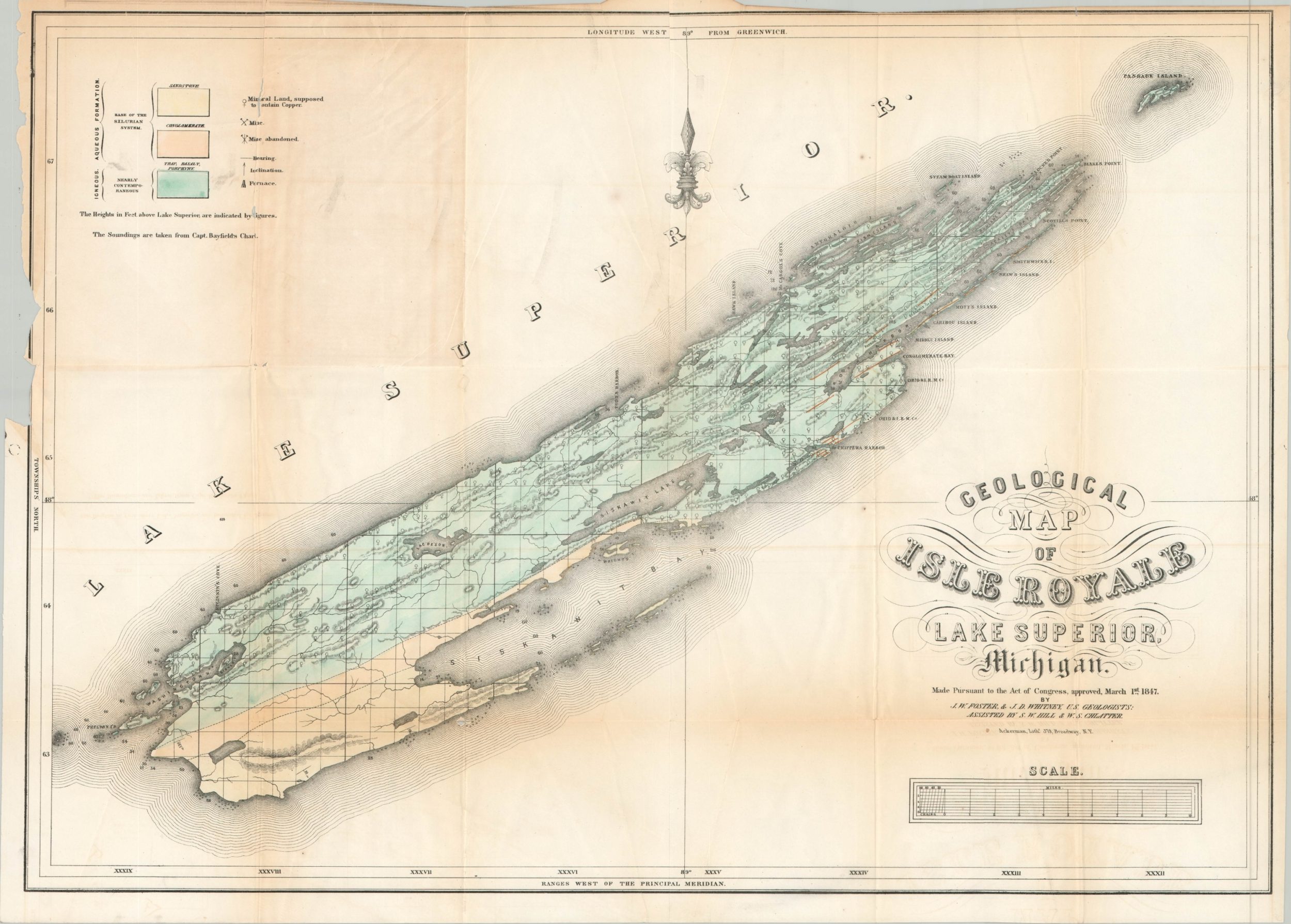
Geological Map of Isle Royal Lake Superior Michigan – 25″ x 17.75″ with ragged outer edges and moderate creasing and toning throughout.
Geological Map of Keweenaw Point Lake Superior Michigan – 21.25″ x 12.5″ with moderate toning across the top of the sheet and a ragged left margin.
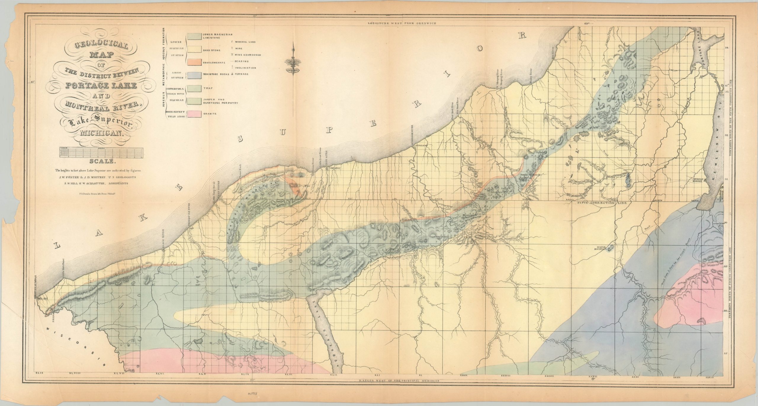
Geological Map of the District Between Portage Lake and Montreal River – 30.5″ x 16.25″ with moderate toning around the outer edges and numerous ares of separation along fold lines. Ragged left margin and some extraneous creasing.
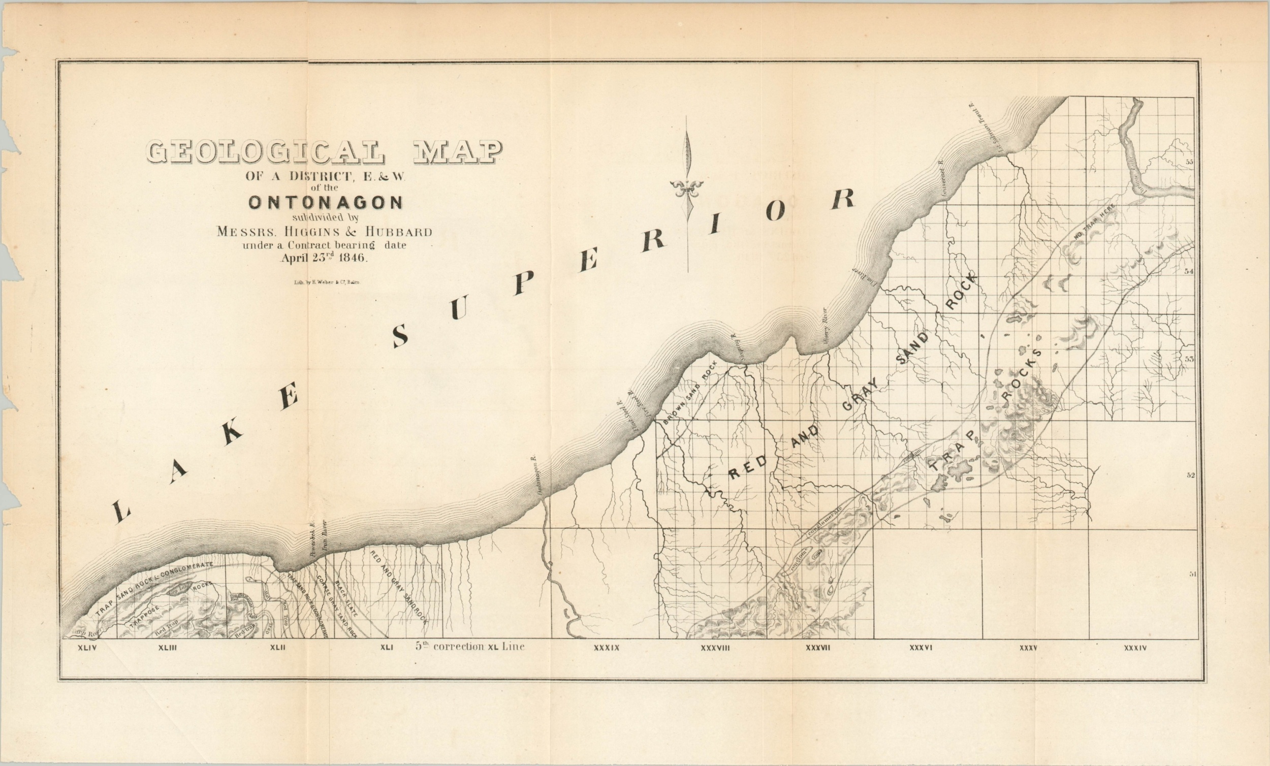
Geological Map of a District E & W of the Ontonagon – 19.75″ x 11.75″ with separation along fold lines and chips in the left margin.
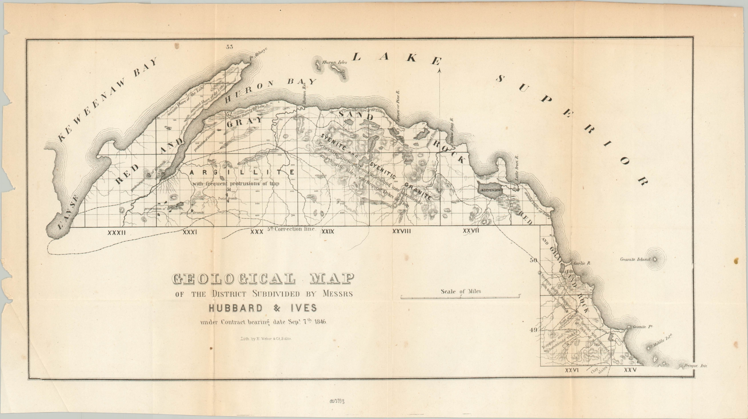
Geological Map of the District Subdivided by Messrs Hubbard & Ives – 17″ x 9.5″ with chips and small spots in the margins.
Geological Map of Isle Royale Lake Superior – 25″ x 18″ with a small chip in the left margin and light offsetting.
Geological Map of Keweenaw Point, Lake Superior – 25.5″ x 16″ and moderately toned throughout with a small spot in the upper left and a ragged left edge.
Map Details
Publication Date: 1849
Author: J.W. Foster, J.D Whitney, and Charles Jackson
Sheet Width (in): See Description
Sheet Height (in): See Description
Condition: B+
Condition Description: Group of maps originally issued in an 1849 report to Congress. Minor to moderate toning, wear along fold lines and the binding edge, and small tears are common throughout. Further details available in product description. Includes a very battered and incomplete copy of "Message from the President of the United States to The Two Houses of Congress" printed for the House of Representatives in Washington, D.C. in 1849.
Out of stock


