
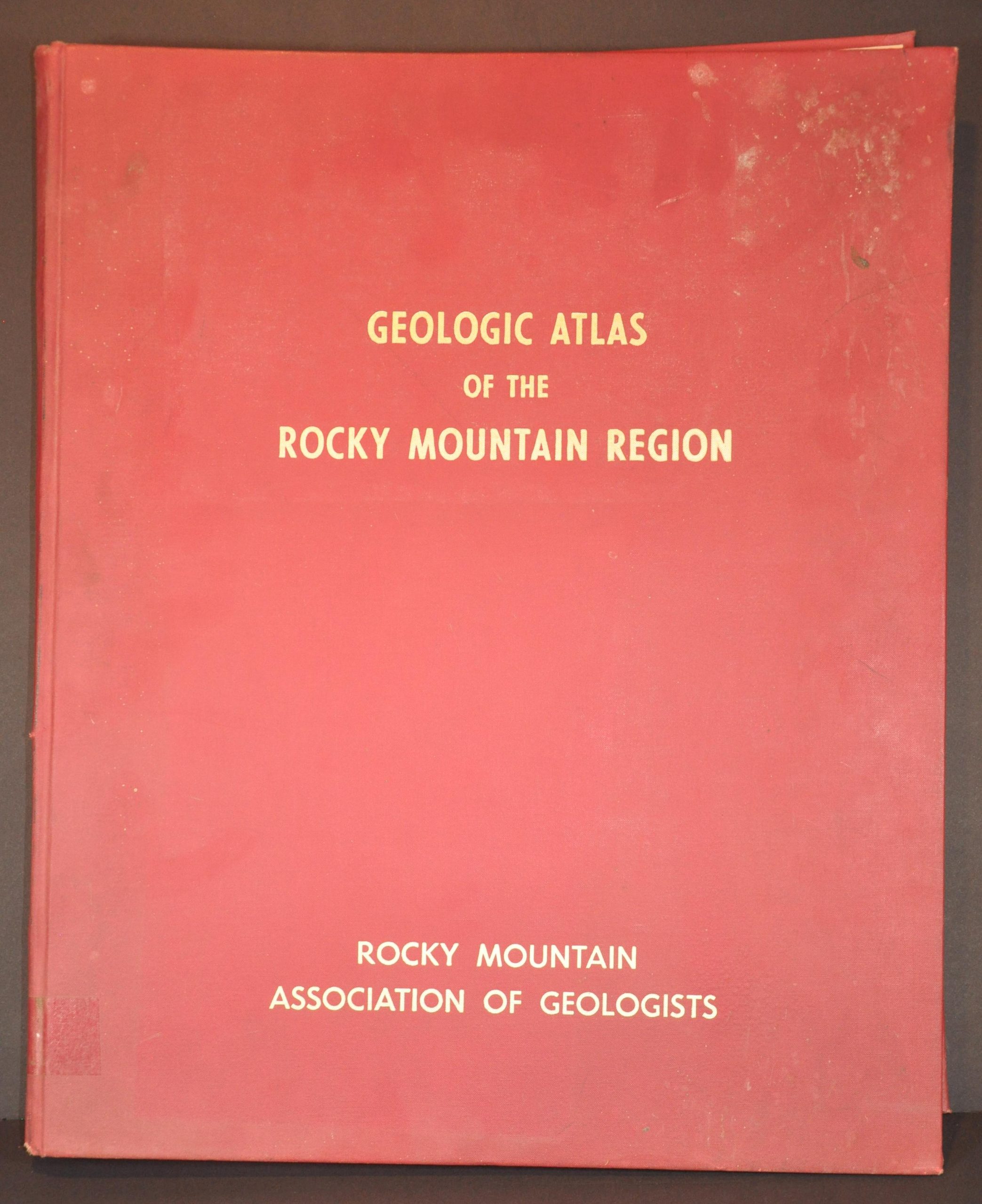
Geologic Atlas of the Rocky Mountain Region
A survey of the American West sponsored by Big Oil.
Out of stock


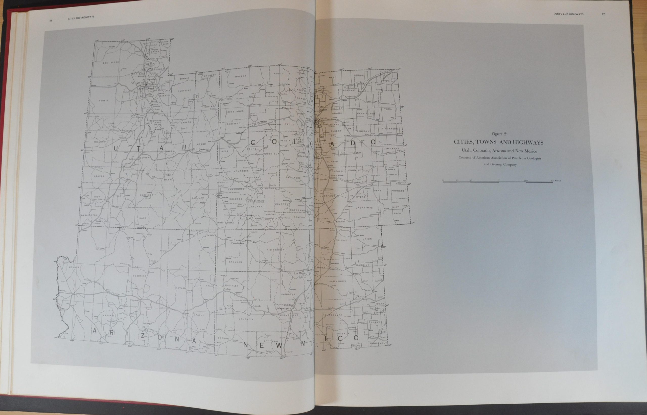
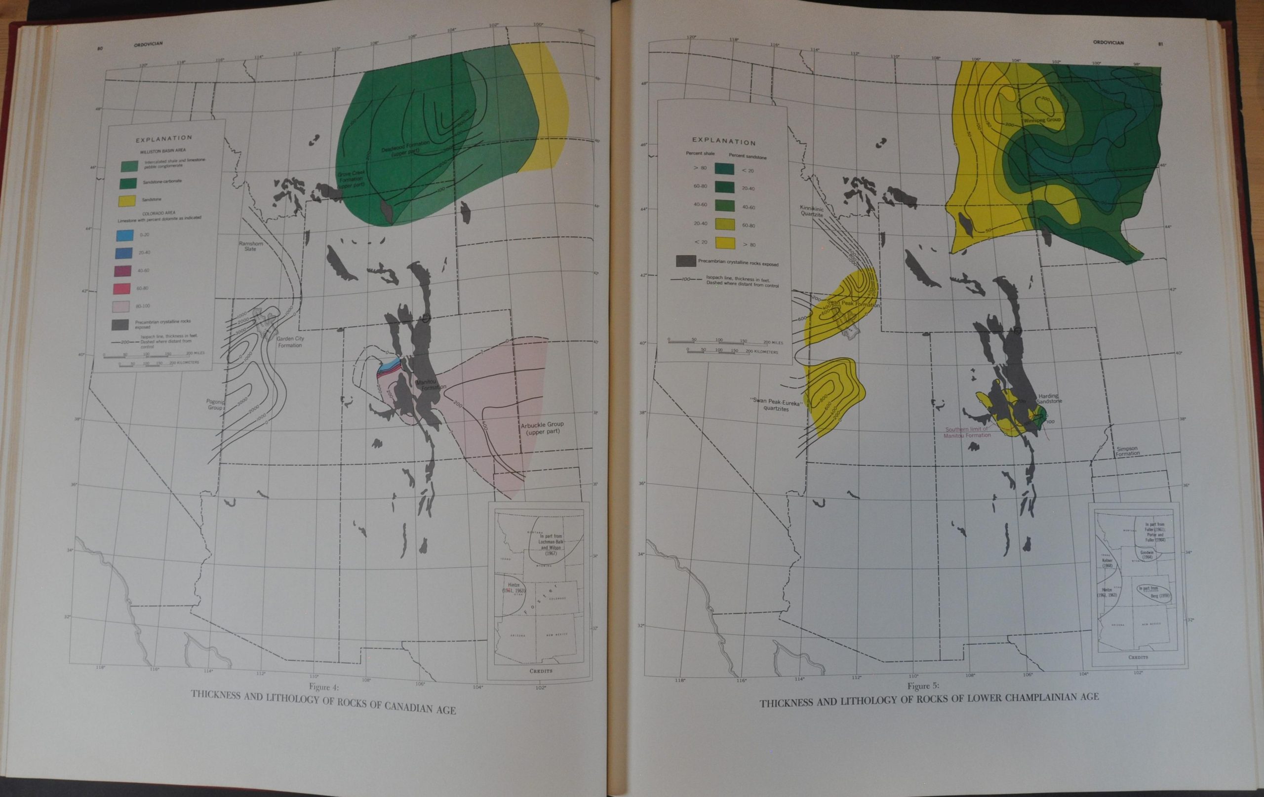
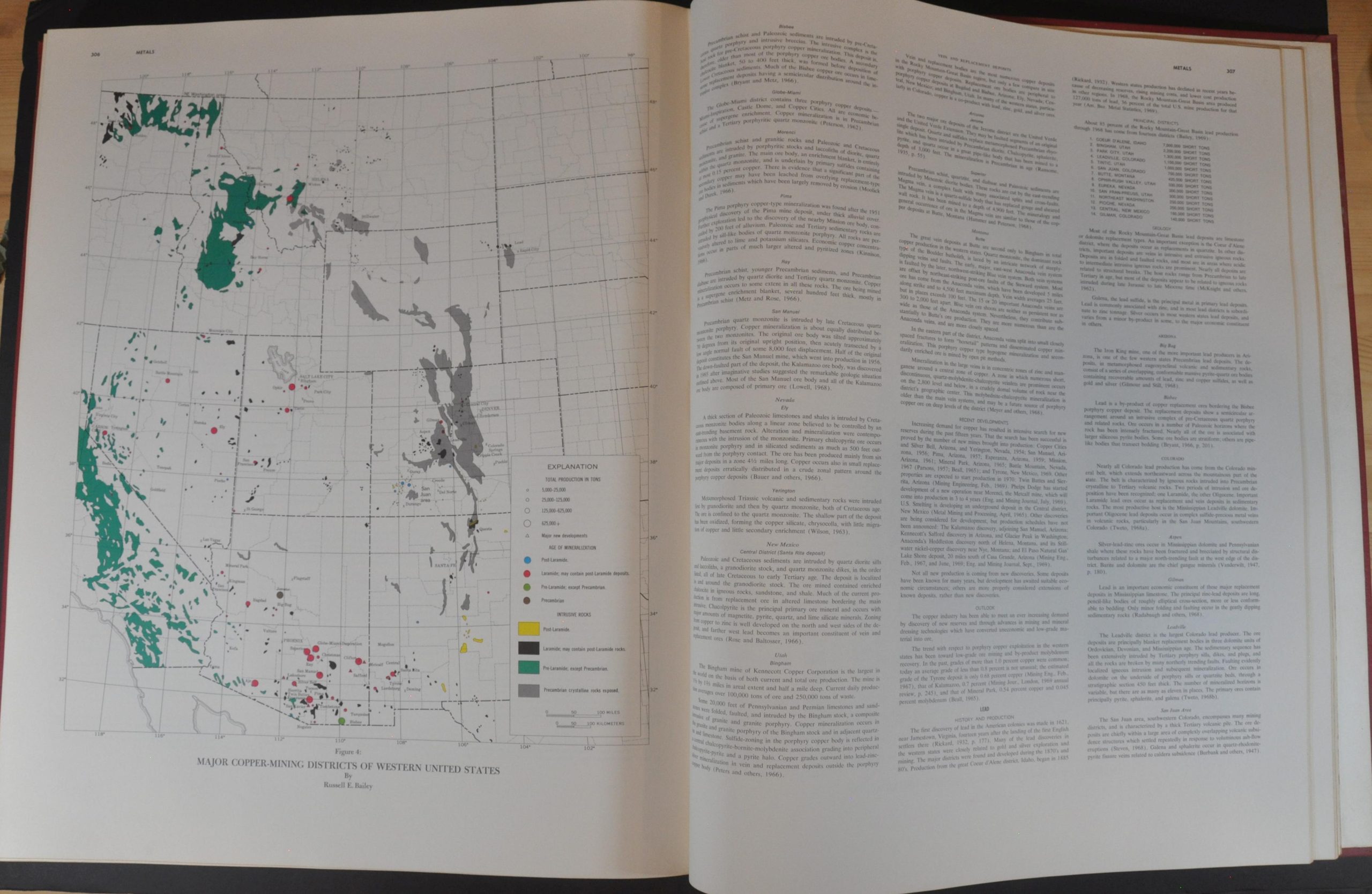
Description
Inspired by the success of a geologic atlas published by the Alberta Society of Petroleum Geologists, the Rocky Mountain Association of Geologists embarked on a significant undertaking in 1966 to map the physical, historical, and economic geology of the region. Such a large and comprehensive volume required significant funding and the introductory pages are filled with oil and petroleum companies that provided “needed financial aid.”
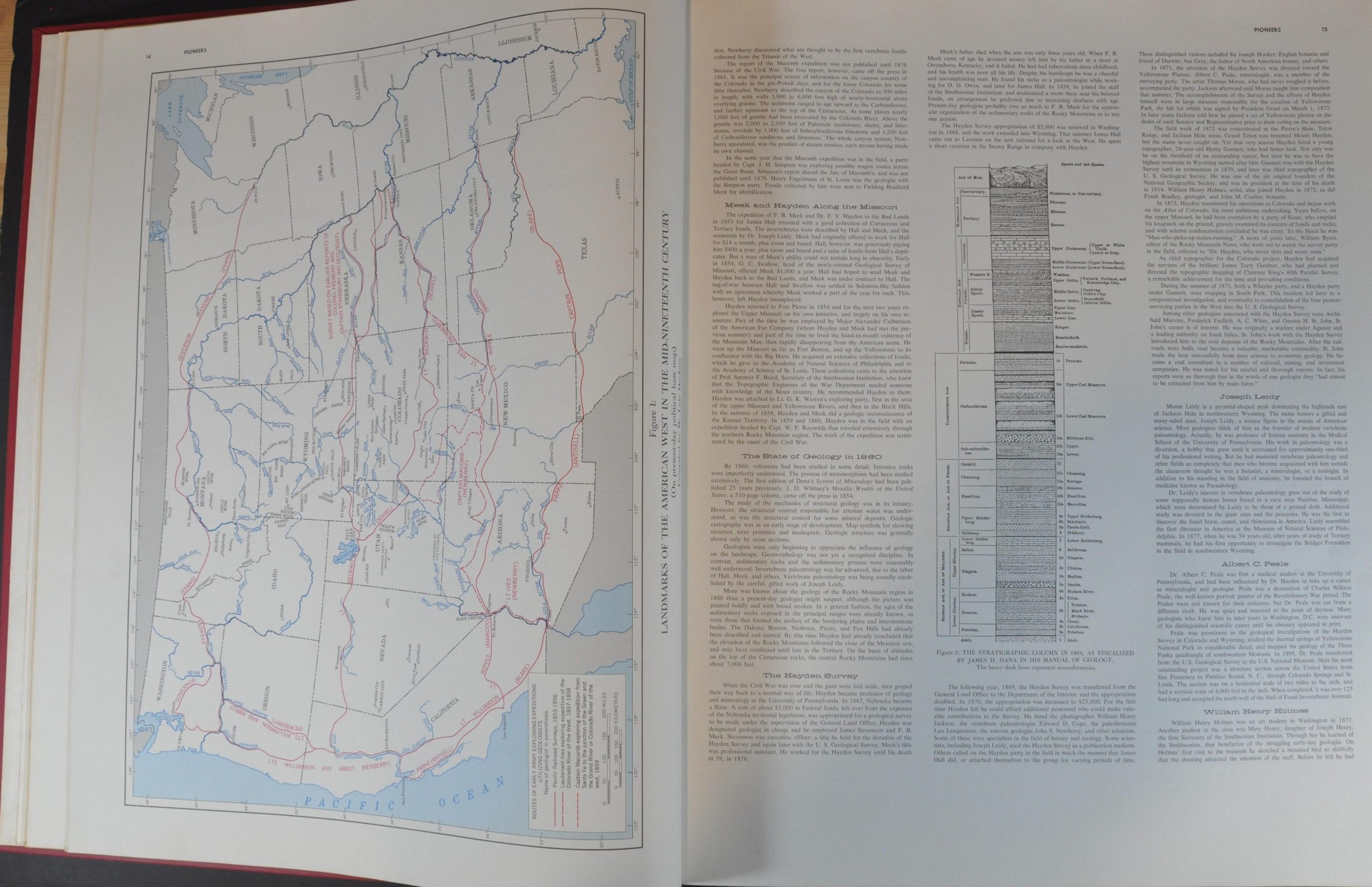
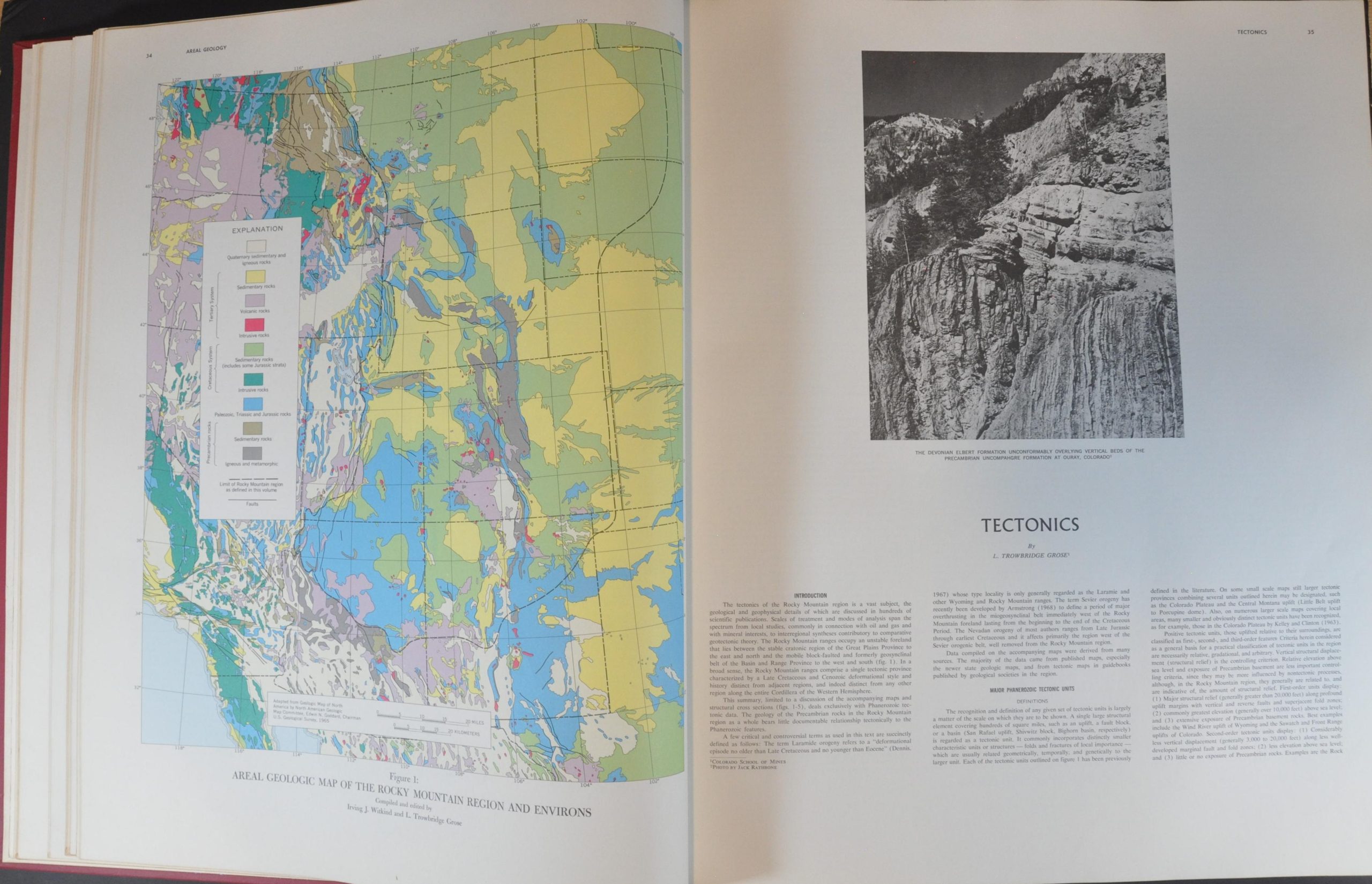
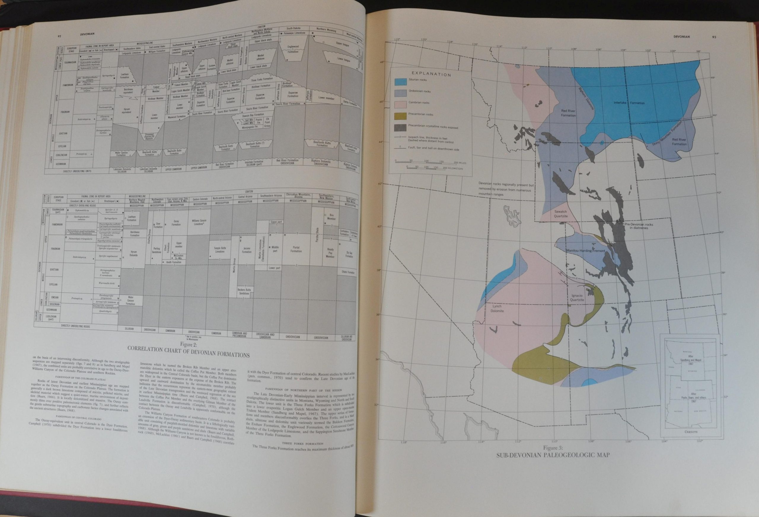
The atlas contains dozens of vibrantly colored maps and cross-sections covering a large region west of the Great Plains; including portions of Colorado, Utah, Arizona, Nevada, New Mexico, Montana, and Idaho. Descriptive text, selected bibliographies, black and white photographs, and tables of data accompany the various cartographic images. Also of interest is the introduction, which provides a history of the pioneer geologists of the American West, and an overview of the region’s road network.
Printed in Denver by the A.B. Hirschfield Press in 1972.
Map Details
Publication Date: 1972
Author: Rocky Mountain Association of Geologists
Sheet Width (in): 17.5
Sheet Height (in): 21.25
Condition: A-
Condition Description: Ex-libris from the Brookfield (WI) Public Library. 331 pp. elephant folio bound in full maroon cloth with gilt title. Boards are heavily soiled and spotted, but binding remains tight and contents are in good condition. A few rubberstamps and withdrawn stamp on the endpapers. Faint toning along the outer edges of the sheet, consistent with age. Good to very good condition overall.
Out of stock