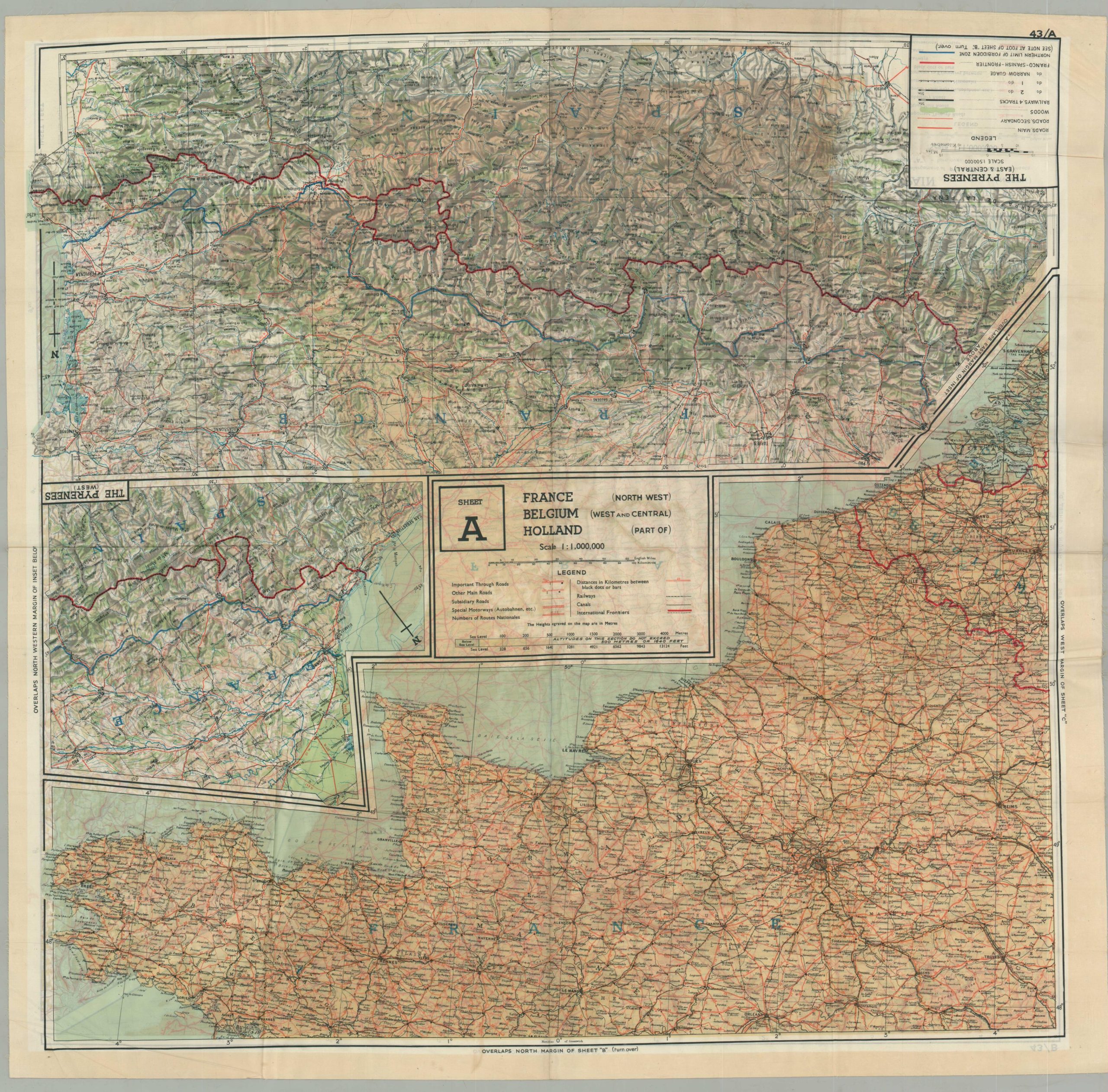
France Holland Belgium [RAF Evasion Map]
The first in a set of ten escape maps issued to Allied pilots in 1943.
Out of stock
Description
This brightly colored double-sided map was printed in London in 1943 by John Waddington, Ltd. It was issued on Rayon, a durable synthetic material that was resistant to water and quiet when crinkled. Maps such as this were issued to Allied pilots when flying over enemy-occupied territory in the event they were shot down. Often accompanied by small compasses, the maps were often the only hope for pilots behind enemy lines.
This particular example is the first of a set of ten sheets designed by the British for use by pilots in the RAF, RCAF, and USAF. Side A shows the Atlantic coastline of France, Holland, and Belgium, as well as two insets covering the Pyrenees. Each map shows primary transportation routes, international borders, and other information of interest to a soldier on the run. The verso, Side B, shows the rest of France and Spain with a small inset covering the German-Swiss Frontier.
Although it was likely unused during the war given its condition (the maps were issued in the thousands and updated regularly with new information), the map is a wonderful ‘cartifact’ that captures the ingenuity and bravery of combatants during the Second World War. For more information on evasion maps, check out my blog post here.
Map Details
Publication Date: 1943
Author: John Waddington, Ltd
Sheet Width (in): 29.00
Sheet Height (in): 28.25
Condition: A-
Condition Description: Moderately creased along former fold lines and some toning in the center of the sheet as a result from the ink on the verso. Overall in very good condition, retaining the original vibrant color on a completely intact sheet (likely Rayon).
Out of stock


