
Fishing Chart of Lake Saint Clair
$150.00
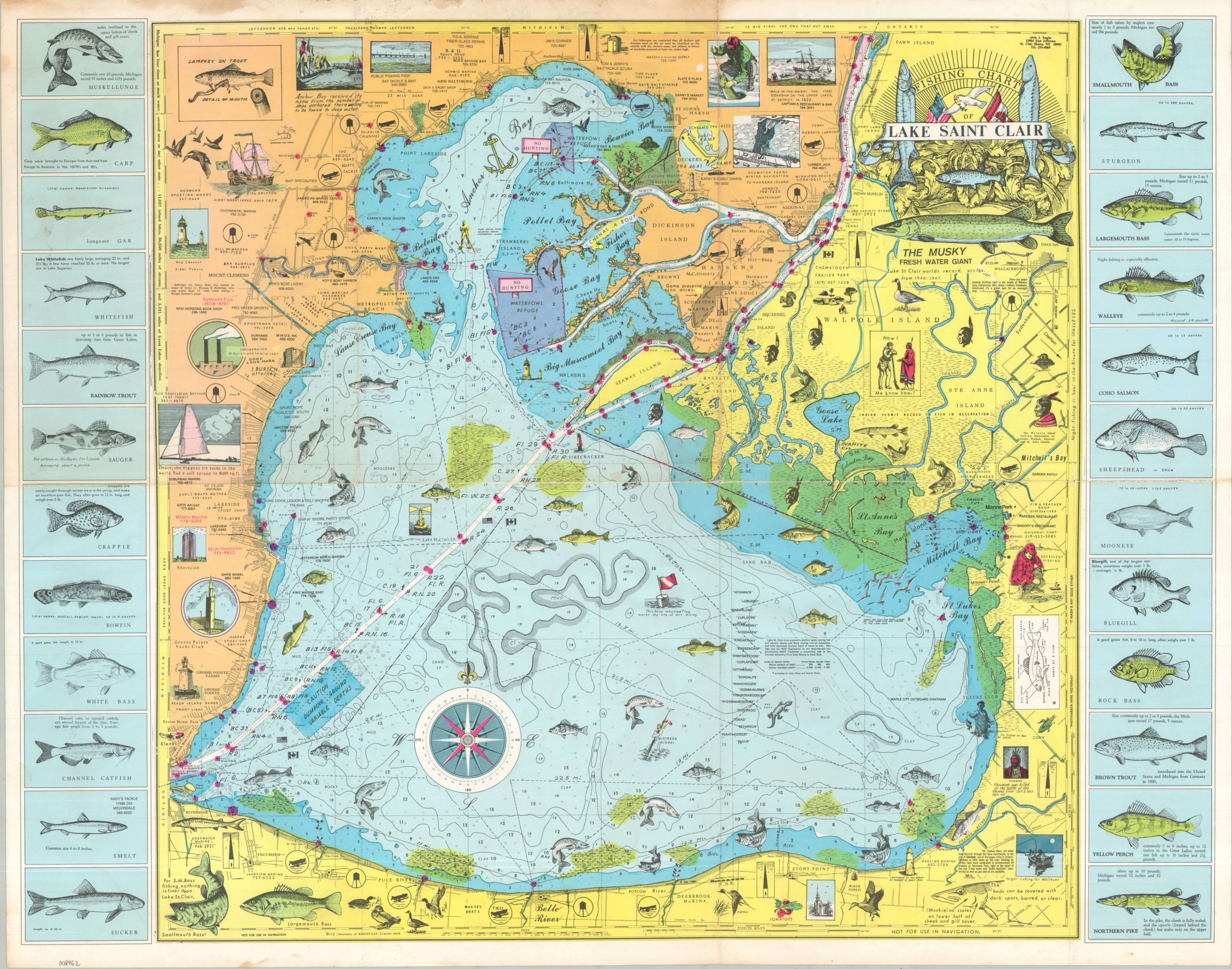
Fishing map of Lake Saint Clair, just north of downtown Detroit.
1 in stock
Description
Lake Saint Clair is part of the Great Lakes water system, connecting Lake Huron to Lake Erie. The lake bisects Canada and the United States, with Michigan territory shaded in yellow and Ontario colored in orange. Cooperation between the countries has led to the joint maintenance of a deep-water shipping canal, seen in white. The real focus of the map is not, however, on political organization or international commerce, but on fish. Twenty-four separate species, including trout, musky, bass, and catfish are accurately illustrated, with average and record catch sizes provided to titillate the possible angler.
The map provides a myriad of features, including a decorative cartouche, compass rose, local business advertisements, illustrations of lighthouses, ships, and waterfowl, depth soundings, historical details and biology lessons! A true display of broad interests expressed via cartographic ingenuity that borders on chaos. Unfortunately, the stereotypical depiction of the native population reflects attitudes that were largely customary at the time.
Map Details
Publication Date: c. 1965
Author: Alvin J. Engler
Sheet Width (in): 29.50
Sheet Height (in): 23.00
Condition: B
Condition Description: Color printed map on a single sided sheet with creasing along old folds. Moderate marginal toning and wear, with some dampstaining visible in the upper left and some soiling along the lower edge. A bit of discoloration visible through the horizontal seam. About good condition overall.
$150.00
1 in stock