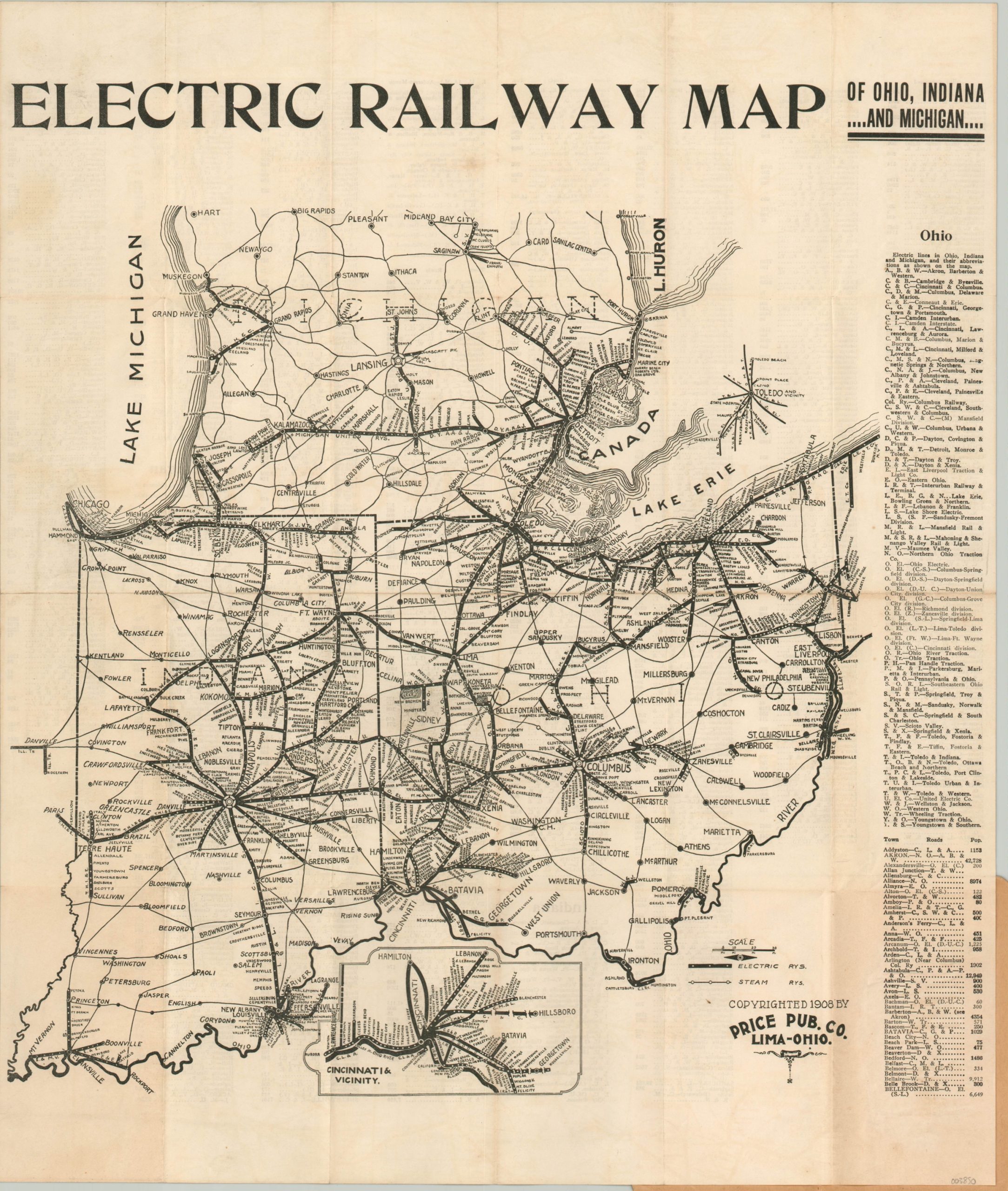
Electric Railway Map of Ohio, Indiana, and Michigan
Rare pocket map showing interurban lines across Indiana, Ohio, and Michigan in the early 20th century.
Out of stock
Description
This ephemeral pocket map shows the spiderweb of electric interurban railways that connected the major (and minor) urban centers across Ohio, Indiana, and Michigan in the first decade of the 20th century. Rather than promote the route of one particular operator, the map highlights the entire network of railways and includes a comprehensive index listing the scores of towns served, their respective lines, and populations.
Steam railroads are also shown, though with a more diminutive line. An inset in the lower center shows the area around Cincinnati, Ohio. An interesting reminder of a popular and widespread form of transportation that quickly became irrelevant with the adoption of the automobile.
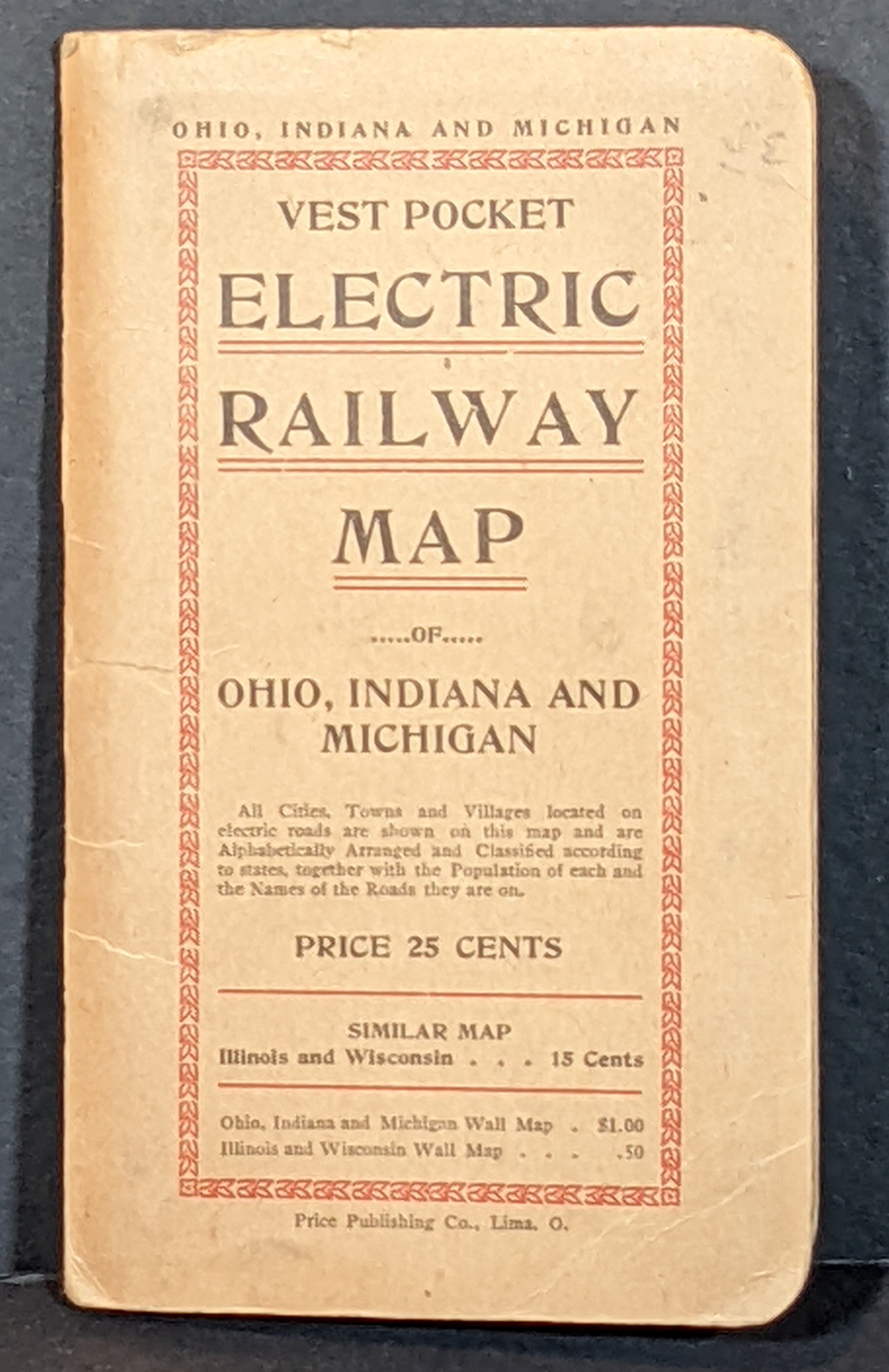
Published in Lima, Ohio in 1908 by the Price Publishing Company. The company also published a similar map of Illinois and Wisconsin, as well as Wall Maps (as advertised on the covers). All editions are scarce, with only one example of the Illinois & Wisconsin map in the OCLC, and two of the Ohio, Indiana, and Michigan map from 1907. I was unable to find another example of the 1908 version, making it a rare find.
Sources: WorldCat 1908 Illinois & Wisconsin, WorldCat 1907 Example, Contemporary Company Advertisement
Map Details
Publication Date: 1908
Author: Price Publishing Company
Sheet Width (in): 16.6
Sheet Height (in): 19.6
Condition: A-
Condition Description: Lightly worn and creased along originally issued fold lines. Faint discoloration where adhered to original paper wraps (lower right corner) and a few spots of discoloration visible within the image. Very good overall.
Out of stock