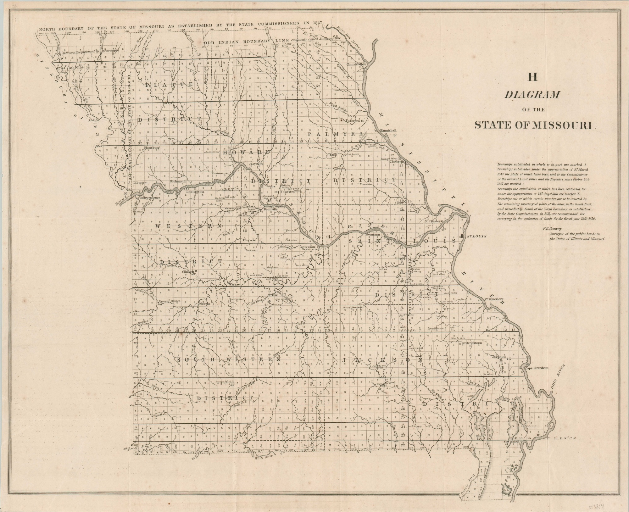
Diagram of the State of Missouri
Mid-19th century map of Missouri.
Out of stock
Description
Counties are nowhere to be found on this map of Missouri, created by F.R. Conway and issued by the Government Printing Office in 1848. Rather, seven large labeled districts can be found within the state border, each comprised of numerous townships containing an ‘S’, an ‘X’, or a ‘O’ (or combination thereof), representing the status of the official land survey and recording with the General Land Office.
Apart from the numerous settlements, various geographic features and landmarks are labeled like mines, springs, salt works, coal fields, etc. The image includes the small town of Independence, which was a primary embarkation point for travelers along the Oregon Trail. The year following publication, thousands more would head west in search of gold recently discovered in California – known colloquially as the ’49ers.
Map Details
Publication Date: 1848
Author: F.R. Conway
Sheet Width (in): 22.60
Sheet Height (in): 18.3
Condition: B+
Condition Description: Creasing along former fold lines and light spotting visible throughout, though most evident on the right side of the sheet.
Out of stock

