
Development of Rivers and Harbors on Lake Erie West of Erie, Pennsylvania
$225.00
Improving Ohio’s maritime infrastructure in the late 19th century.
1 in stock
Description
This fascinating report was compiled by Colonel Jared Smith of the Corps of Engineers, the military branch that oversaw the construction and maintenance of America’s commercial waterways. The contents were originally published as part of an 1898 Congressional report detailing the progress of approved projects. As a result, they offer detailed insight into the bureaucratic mechanism by which rivers, harbors, and shipping channels were carefully built and managed.
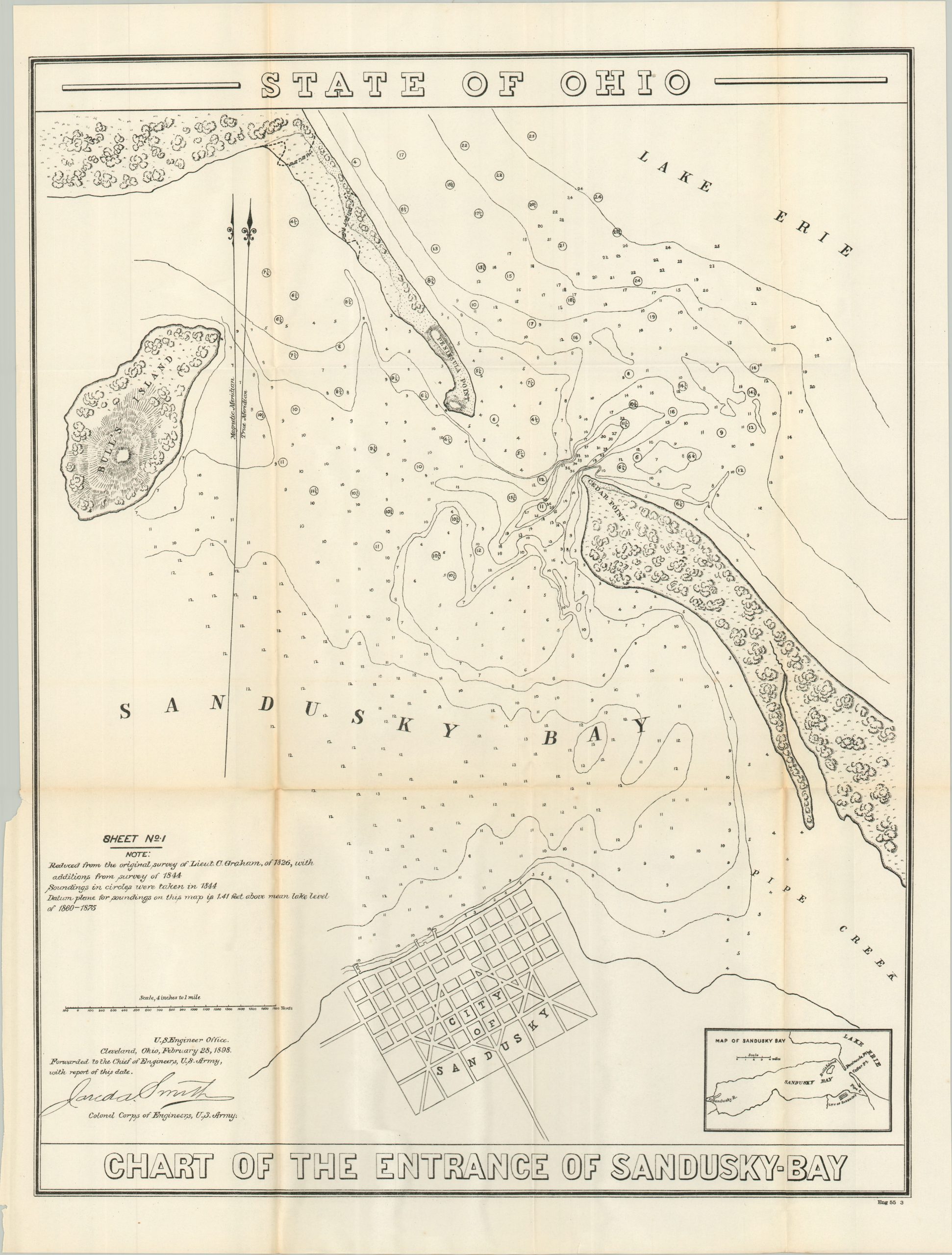
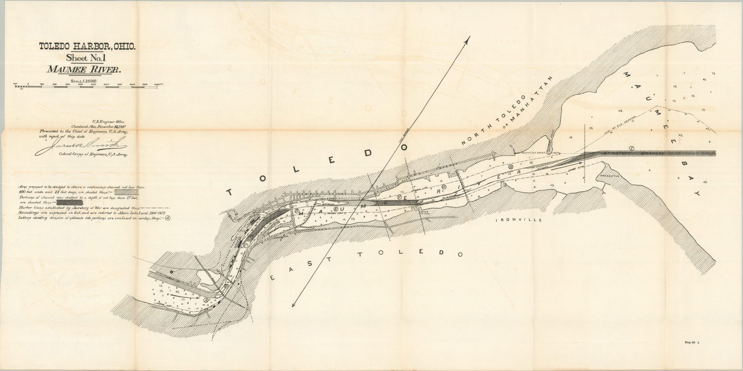
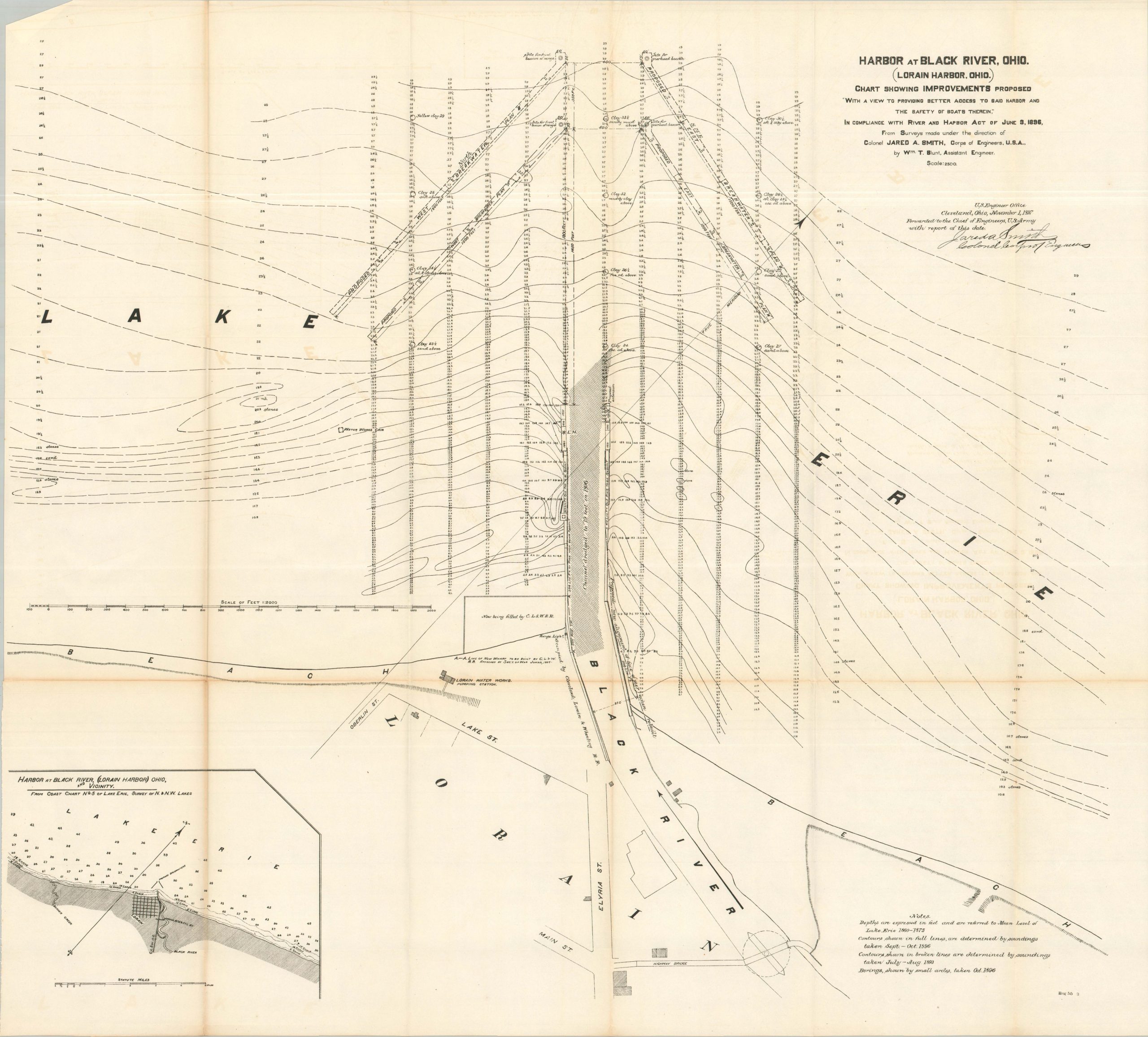
A mix of visual elements – maps, construction diagrams, photographs, etc., is complemented by copies of correspondence and extensive financial tables. Areas covered include most of Ohio’s most important harbors on Lake Erie, including Toledo, Sandusky, Black River, and Cleveland. These ports were vital in the commercial network of the Great Lakes, facilitating the shipping of bulk commodities like iron ore, grain, coal, and lumber, as well as specialized manufactured goods.
Map Details
Publication Date: 1898
Author: Jared A. Smith
Sheet Width (in): See Description
Sheet Height (in): See Description
Condition: B+
Condition Description: 122 page report, plus numerous folding maps and diagrams of varying sizes, extracted from a broken Congressional report. A few sheets extracted for scanning. Portions of the original spine remain affixed to the edge and there is some light toning, consistent with age. Good condition overall.
$225.00
1 in stock