
Cycling Maps of Michigan
$75.00
Happy cycling across the Wolverine State!
1 in stock


Description
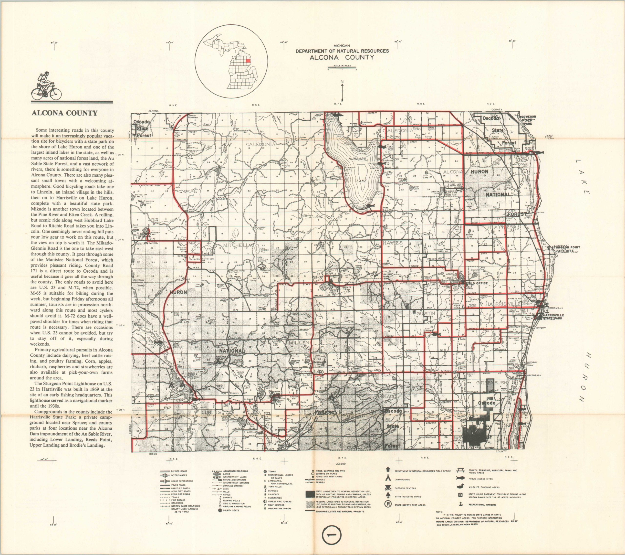
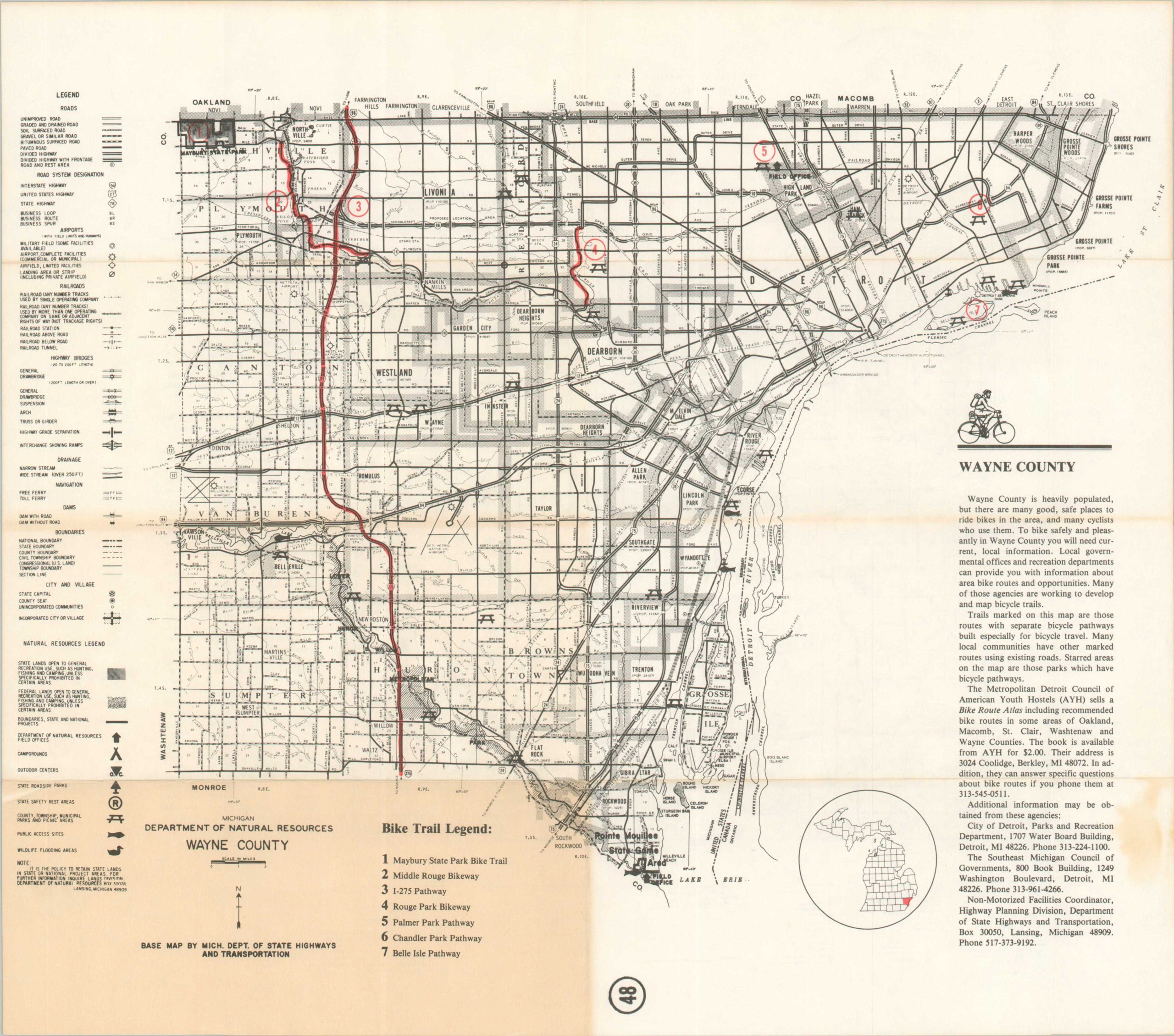
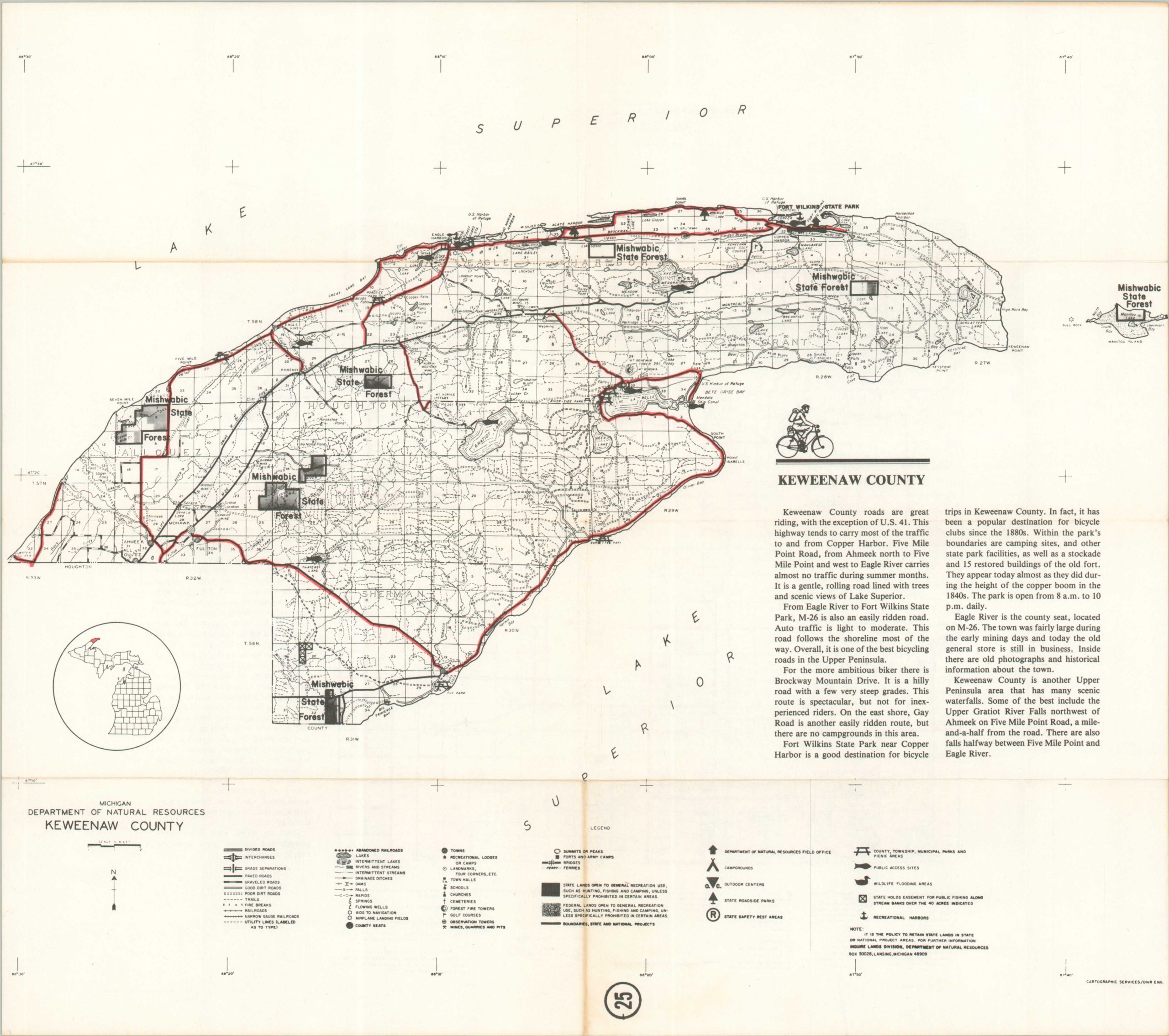
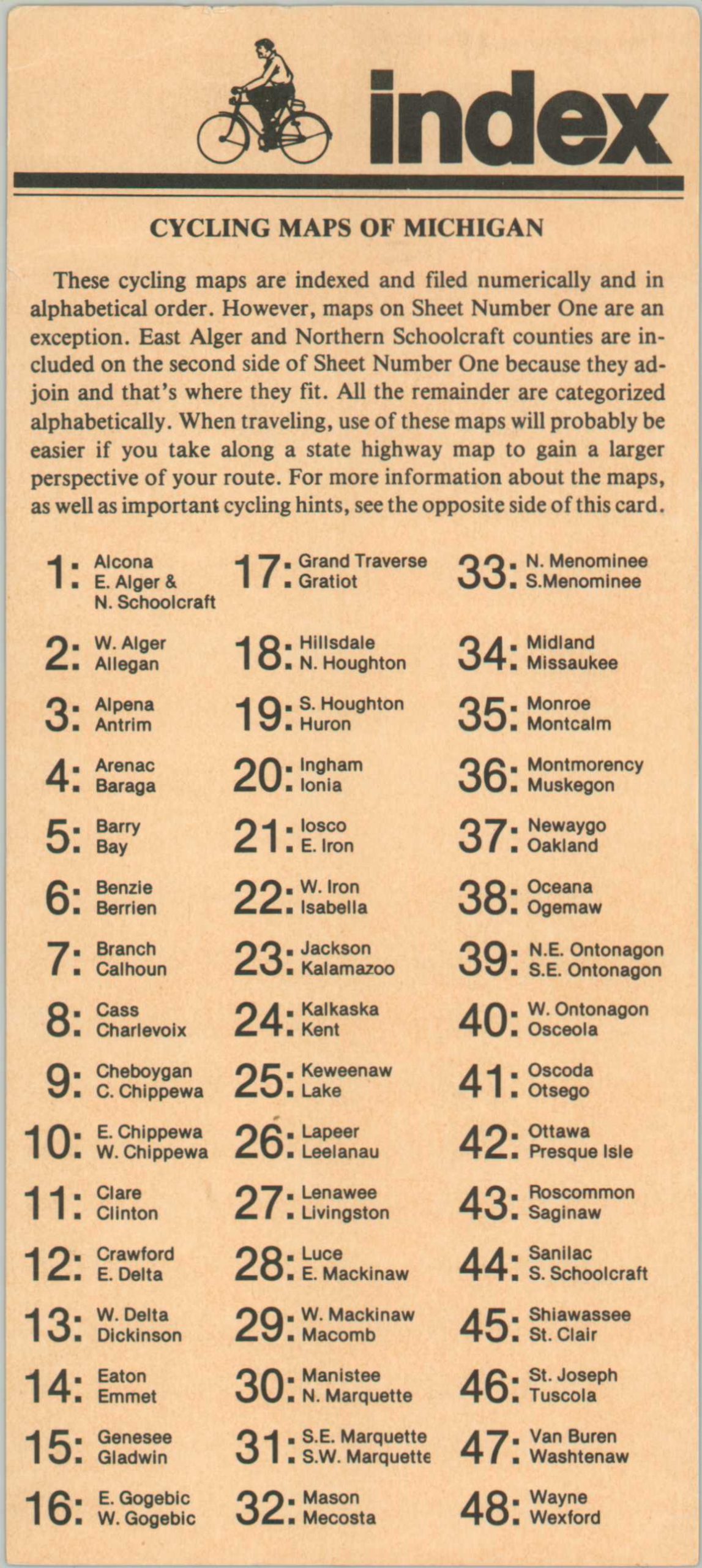
“These cycling maps of Michigan are designed for day-long, or longer, excursions or vacation travel by bicycle. Among all the states, none has better bike riding conditions than Michigan. It is possible to travel from almost any location in the state to any other by following the roads marked on these maps.” – Introduction card.
This complete collection of Michigan cycling maps provides everything needed for a statewide bicycle excursion. Forty-eight sheets cover each of the 83 counties. Each map presents transportation routes, geographic features, important buildings, and relevant infrastructure like picnic areas, campgrounds, and rest stops. Red overprinting highlights the roads uniquely suitable for cyclists.
Published in Lansing in 1979 by Michigan Natural Resources Magazine, a function of the state’s Department of Natural Resources.
Map Details
Publication Date: 1979
Author: Michigan Department of Natural Resources
Sheet Width (in): 17
Sheet Height (in): 15
Condition: A-
Condition Description: Complete collection of 48 double-sided road maps, each with creasing and some toning along original folds. A few small edge tears, but overall in good condition. Includes index/introduction card and original cardboard sleeve.
$75.00
1 in stock