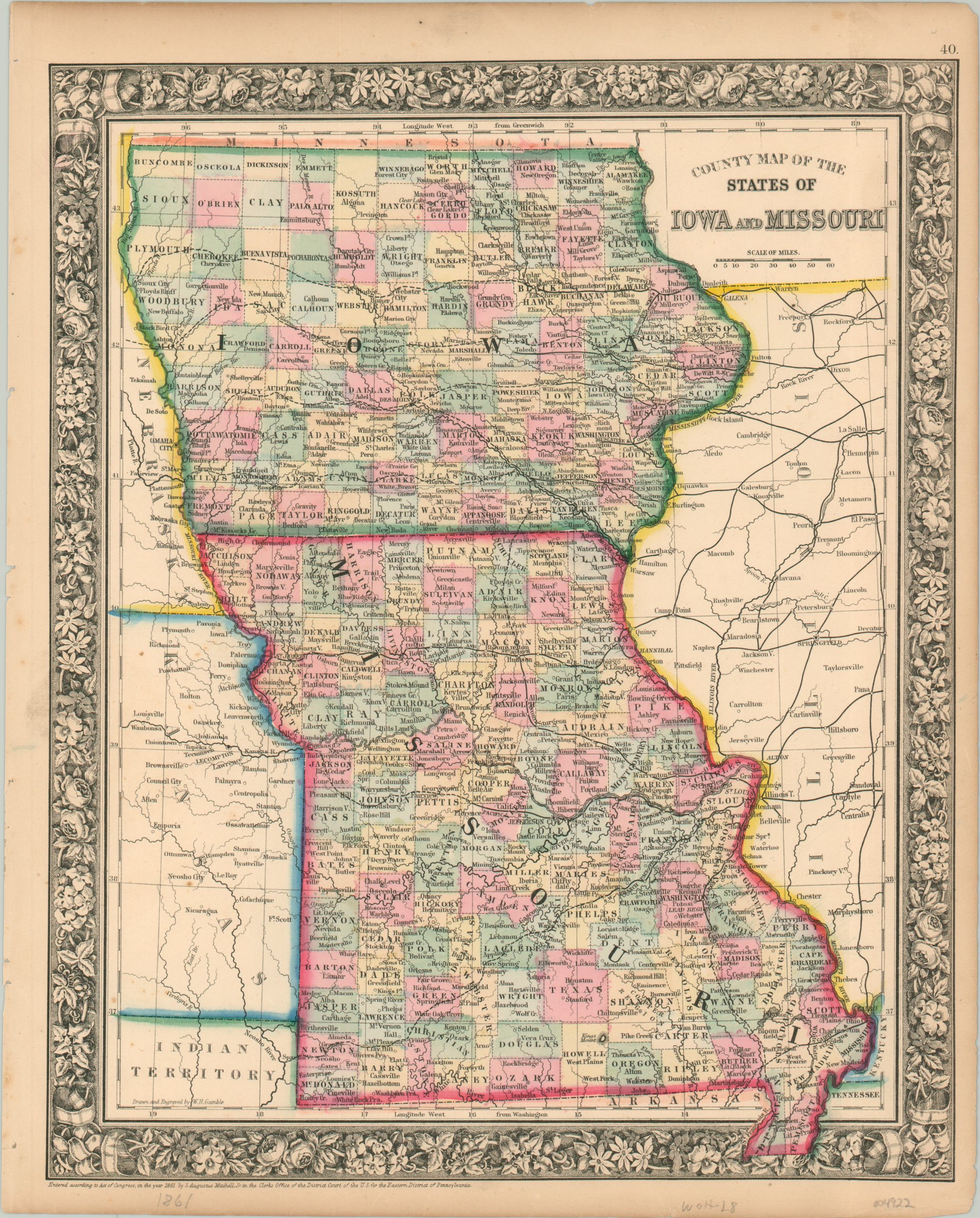
County Map of the States of Iowa and Missouri
$60.00
Iowa and Missouri at the start of the Civil War.
1 in stock
Description
This attractive map showing Iowa and Missouri was published in Philadelphia in 1861 by Samuel Augustus Mitchell. Mitchell was one of the most prominent American mapmakers of the 19th century and initially got involved with cartography as a school teacher who was frustrated with the quality of available maps. He collaborated with skilled engravers and produced high-quality maps and atlases that contained the most up-to-date information available. Mitchell’s son (of the same name) would take over the business after his death in 1860 and continue the tremendous output.
His attention to detail is evident within the image, which provides an informative snapshot of the two Midwestern states around the beginning of the Civil War. Bright colors showcase county borders and thick black lines show the railroad routes in operation. A fascinating variety of place names, geographic features, and other locations of interest are labeled throughout the image, which is enclosed by a decorative engraved border.
Map Details
Publication Date: 1861
Author: Samuel Augustus Mitchell
Sheet Width (in): 12.25
Sheet Height (in): 15.25
Condition: A-
Condition Description: Light toning and a few chips visible in the margins and light scattered spotting visible in the Kansas Territory. Original color. Very good overall.
$60.00
1 in stock

