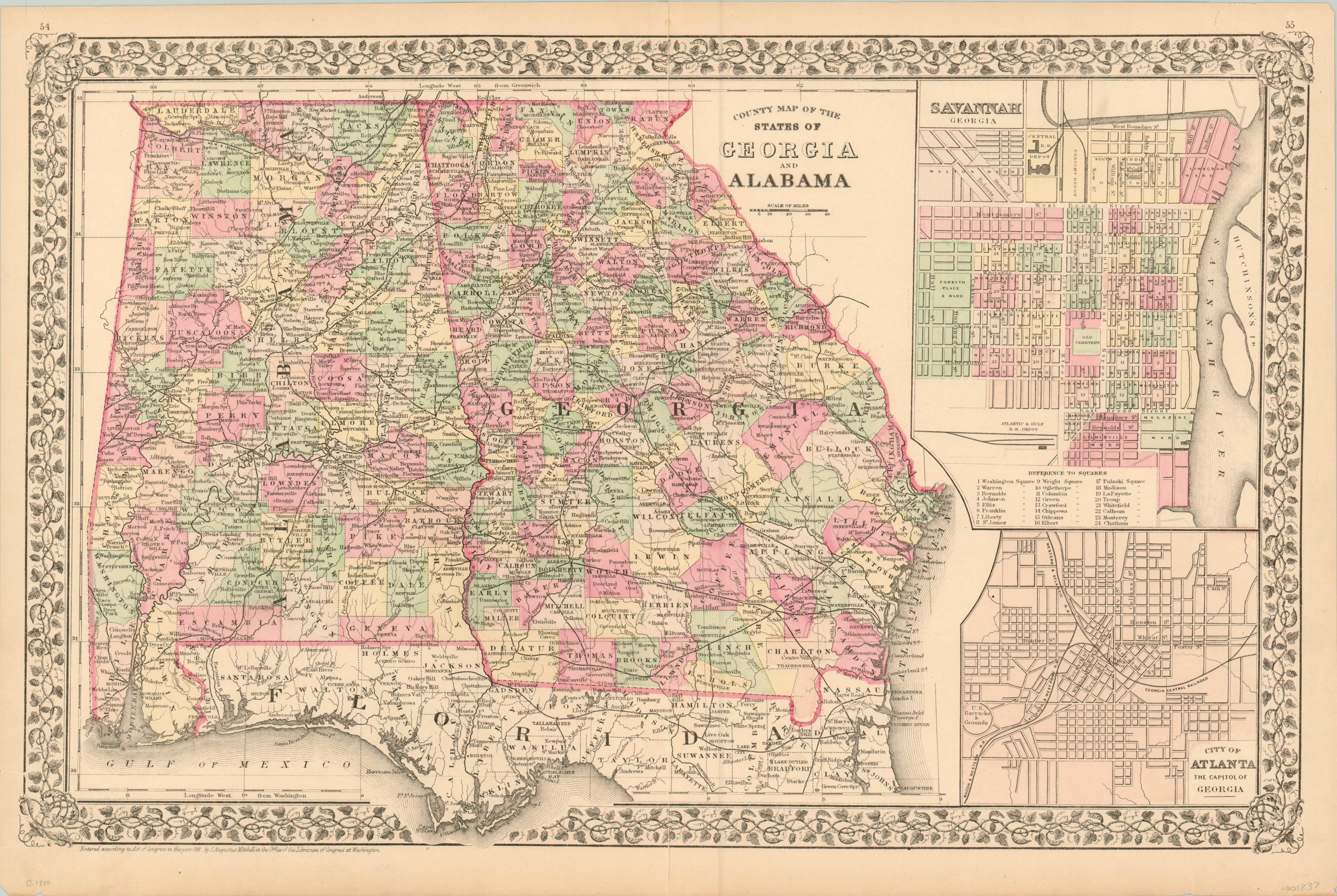
County Map of the States of Georgia and Alabama
$90.00
Colorful county map of Georgia and Alabama from the late 19th century.
1 in stock
Description
Published around 1880 by Samuel Augustus Mitchell, this map presents the southern states of Georgia and Alabama with a bright county configuration highlighted in original hand applied color. Finely engraved details show railroads, towns, and geographic features surrounded by a decorative grapevine border.
Portions of northern Florida are included within the image, as well as two inset maps of Savannah and Atlanta.
Map Details
Publication Date: c. 1880
Author: Samuel Augustus Mitchell
Sheet Width (in): 22.50
Sheet Height (in): 15.00
Condition: A-
Condition Description: A bit of wear and faint soiling visible in the margins, with one area of faint discoloration in the image's upper right. Creasing and minor separation along the vertical centerfold, but overall the map is in very good condition.
$90.00
1 in stock

