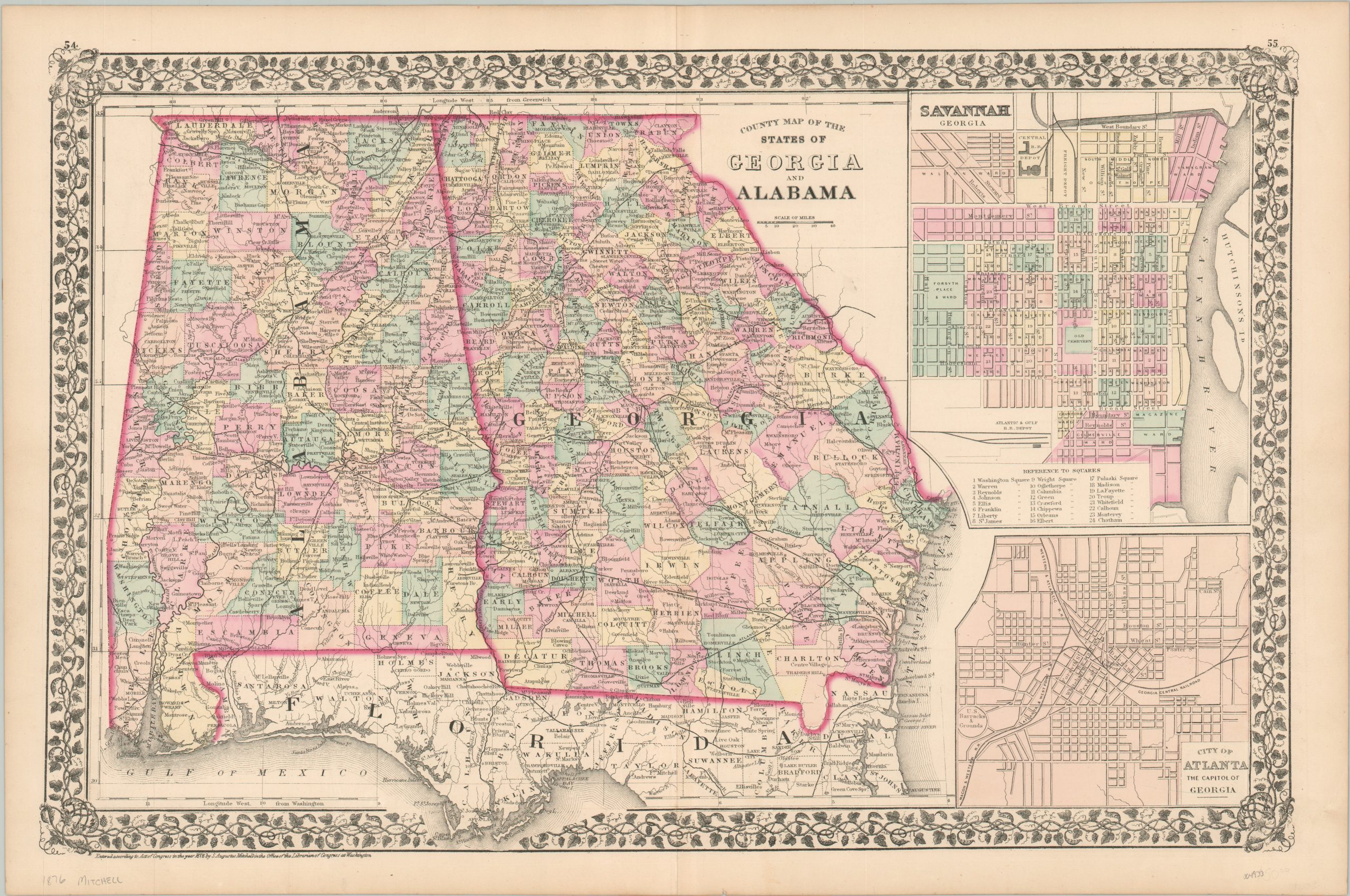
County Map of the States of Georgia and Alabama
$95.00
The end of the Reconstruction Era in Georgia and Alabama.
1 in stock
Description
This attractively engraved map of Alabama and Georgia was published in 1876 by Samuel Augustus Mitchell. Mitchell was one of the most prominent American mapmakers of the 19th century and initially got involved with cartography as a school teacher who was frustrated with the quality of available maps. He collaborated with skilled engravers and produced high-quality maps and atlases that contained the most up-to-date information available. Mitchell’s son (of the same name) would take over the business after his death in 1860 and continue the tremendous output.
His attention to detail is evident within the image, which provides an engaging snapshot of the two southern states shortly before the end of Reconstruction. Bright color, applied by hand at the time of publication, highlights the county composition and state borders.
Railroads are prominently noted, connecting the coastal trading ports like Mobile and Savannah to the agricultural interior and the network of the North. An inset of the latter can be seen in the upper right, with a similar city plan of Atlanta found immediately below. An interesting variety of settlements (towns, forts, trading posts, etc.) and geographic features (rivers, mountains, falls, etc.) are labeled throughout the map, which is enclosed within a decorative ivy border.
Map Details
Publication Date: 1876
Author: Samuel Augustus Mitchell
Sheet Width (in): 23
Sheet Height (in): 15.1
Condition: A
Condition Description: Light toning and faint soiling visible around the edges of the sheet, confined to the margin. A few tiny spots in the image, consistent with age and use. Very good to near fine condition.
$95.00
1 in stock

