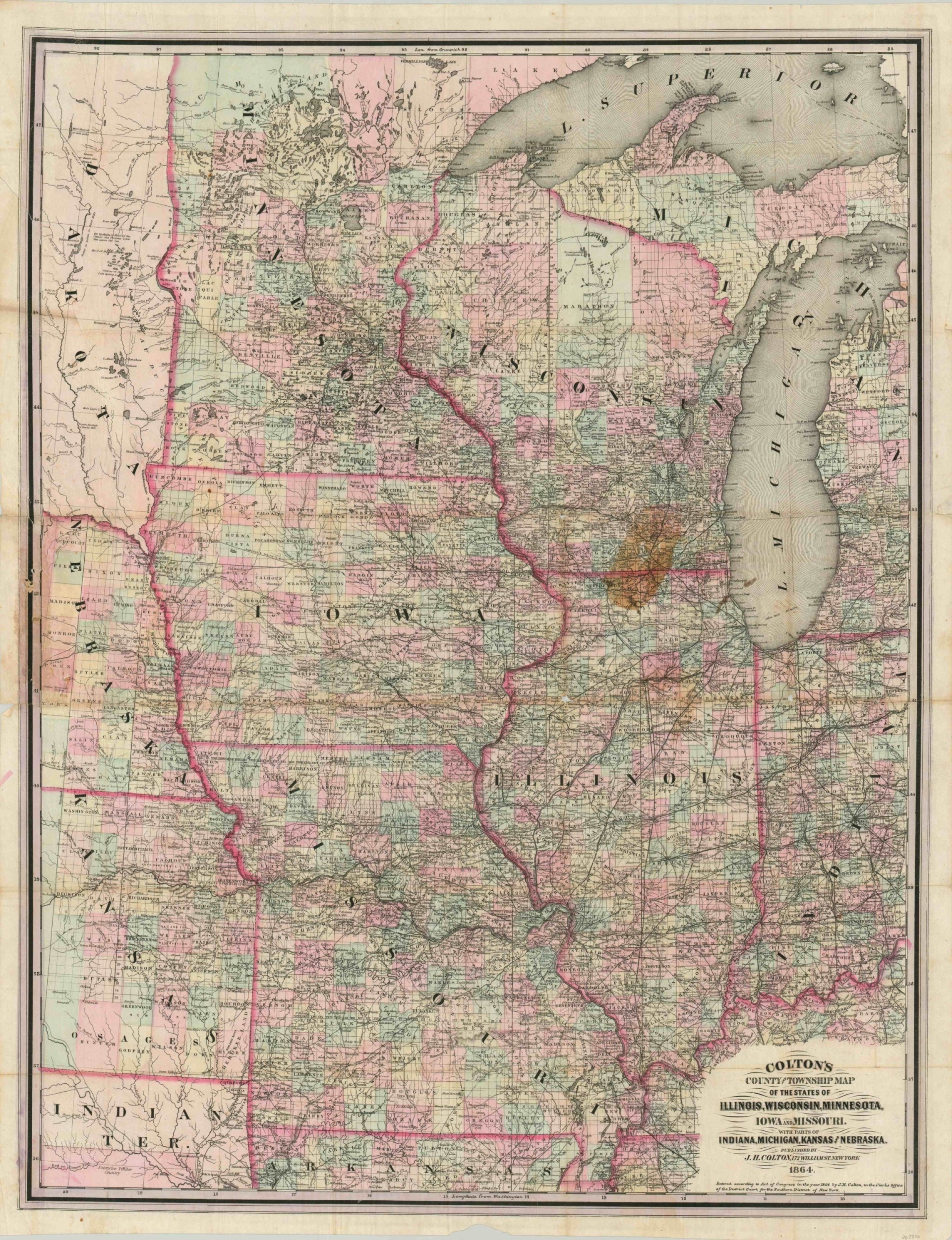
Colton’s County and Townships Map of the States of Illinois, Wisconsin, Minnesota, Iowa and Missouri.
$275.00
Colton’s scarce pocket map of several Midwestern states.
1 in stock
Description
This hand-colored pocket map covers the entirety of Minnesota, Iowa, Missouri, Wisconsin, and Illinois; plus portions of Indiana, Michigan, Nebraska, Kansas, the Dakotas and Indian Territory. Published during the American Civil War, the image captures a variety of fascinating contemporary information with finely engraved lines and text.
Transportation routes, geographic features, and numerous ‘types’ of settlements are individually labeled throughout. Further details include local industries, Native American villages (and reservations), and notable landmarks. Published in New York by J.H. Colton in 1864.
Map Details
Publication Date: 1864
Author: J.H. Colton & Co.
Sheet Width (in): 28.75
Sheet Height (in): 37.25
Condition: C
Condition Description: Former pocket map removed from original covers and flattened. Significant wear, including complete separation at the horizontal centerfold, has been repaired with archival tape on the verso. Several large tears and discoloration in the center left, where the book was previously bound. Small bits of image loss at fold intersections and a large stain in northern Illinois/southern Wisconsin. Remains in fair to good condition overall.
$275.00
1 in stock


