
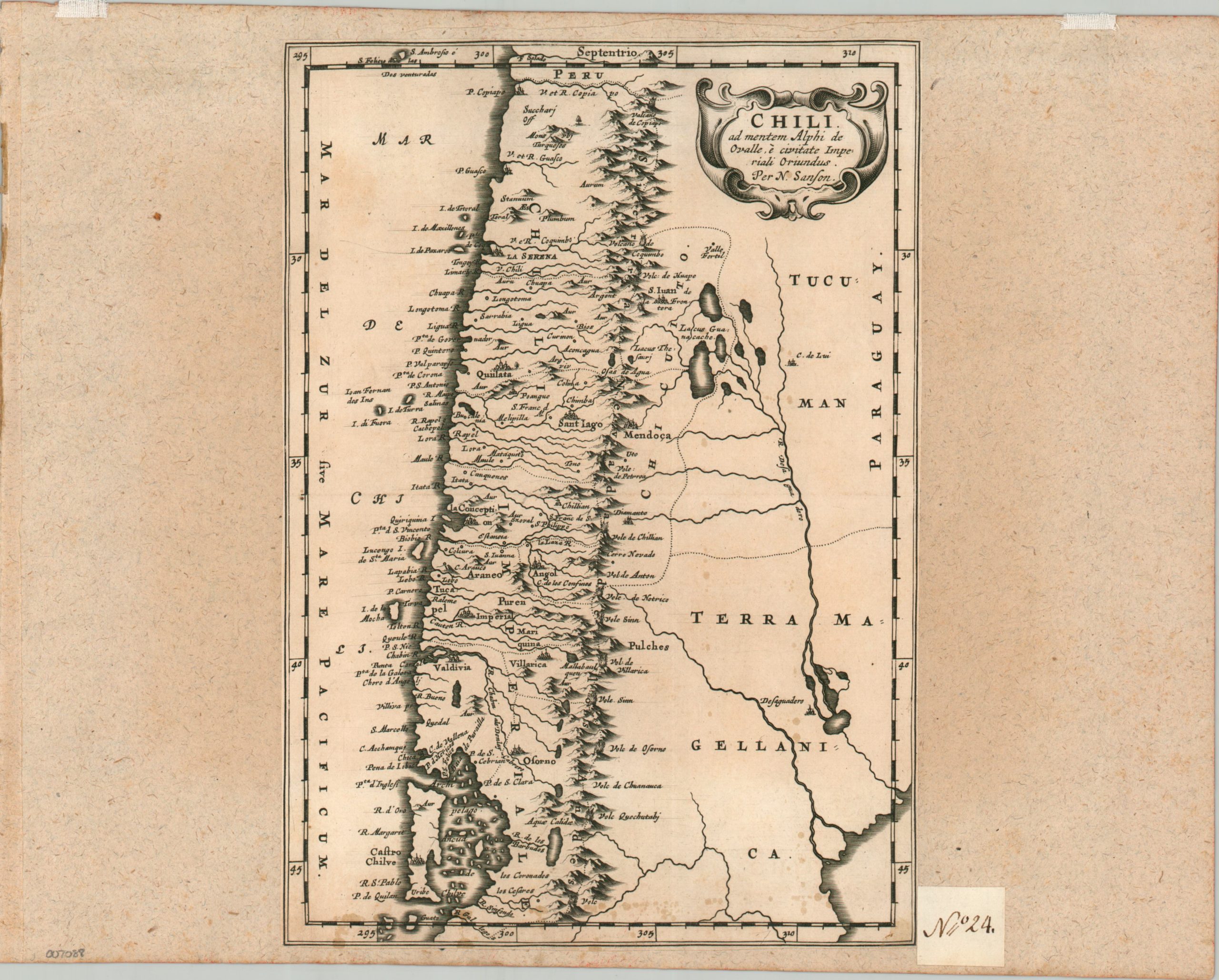
Chile ad mentem Alphi de Ovalle e Civitate Imperiali Oriundus
An uncommon map of Spanish-controlled General Captaincy of Chile.
Out of stock
Description
This striking copperplate engraved map presents an interesting overview of the Spanish-controlled territory of Chile during the 17th century. The Andes Mountains bifurcate the image vertically into a well-mapped coastal region and a largely empty interior, save for a few rivers, lakes, and scattered settlements. The capital at Santiago is shown prominently near the center and a fascinating variety of settlements, missions, and geographic features are labeled throughout. Of particular interest are numerous volcanoes, shown with small erupting peaks.
Map Details
Publication Date: c. 1679
Author: Nicholas Sanson
Sheet Width (in): 7.5
Sheet Height (in): 10.6
Condition: B
Condition Description: Single copperplate engraved sheet with trimmed margins and mounted onto an old sheet of thick laid paper. Manuscript page number in the lower right indicates it was formerly part of a composite atlas. Moderate scattered foxing affects the lower 2" of the image (see scan) and faintly elsewhere.
Out of stock