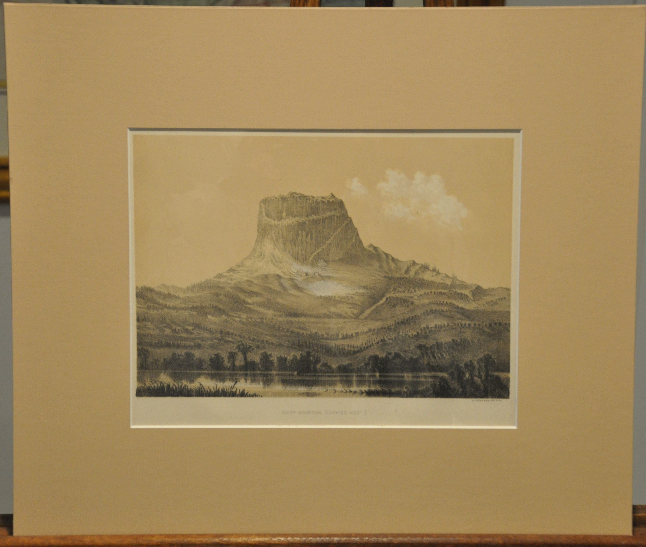
Chief Mountain (Looking West)
$100.00
Original tinted lithograph by T. Sinclair & Son of Chief Mountain in Montana.
1 in stock
Description
This view of Chief Mountain at the east end of Glacier National Park in Montana was published in the report of the International Boundary Survey (1872-1876) that took place along the border with British Canada. Although a treaty in 1818 established the boundary as 49th parallel from the Lake of the Woods to the Rocky Mountains, none of the area was officially surveyed until the 1870’s.
The name is derived from the Blackfoot tribe’s term for the mountain, and it remains sacred to indigenous populations in both Canada and the United States to this day.
Map Details
Publication Date: 1878
Author: U.S. Department of State
Sheet Width (in): 11.50
Sheet Height (in): 9.10
Condition: A-
Condition Description: Faintly toned around the outer edges and a ragged lower binding edge. Very good condition, and includes a neutral toned matte.
$100.00
1 in stock


