
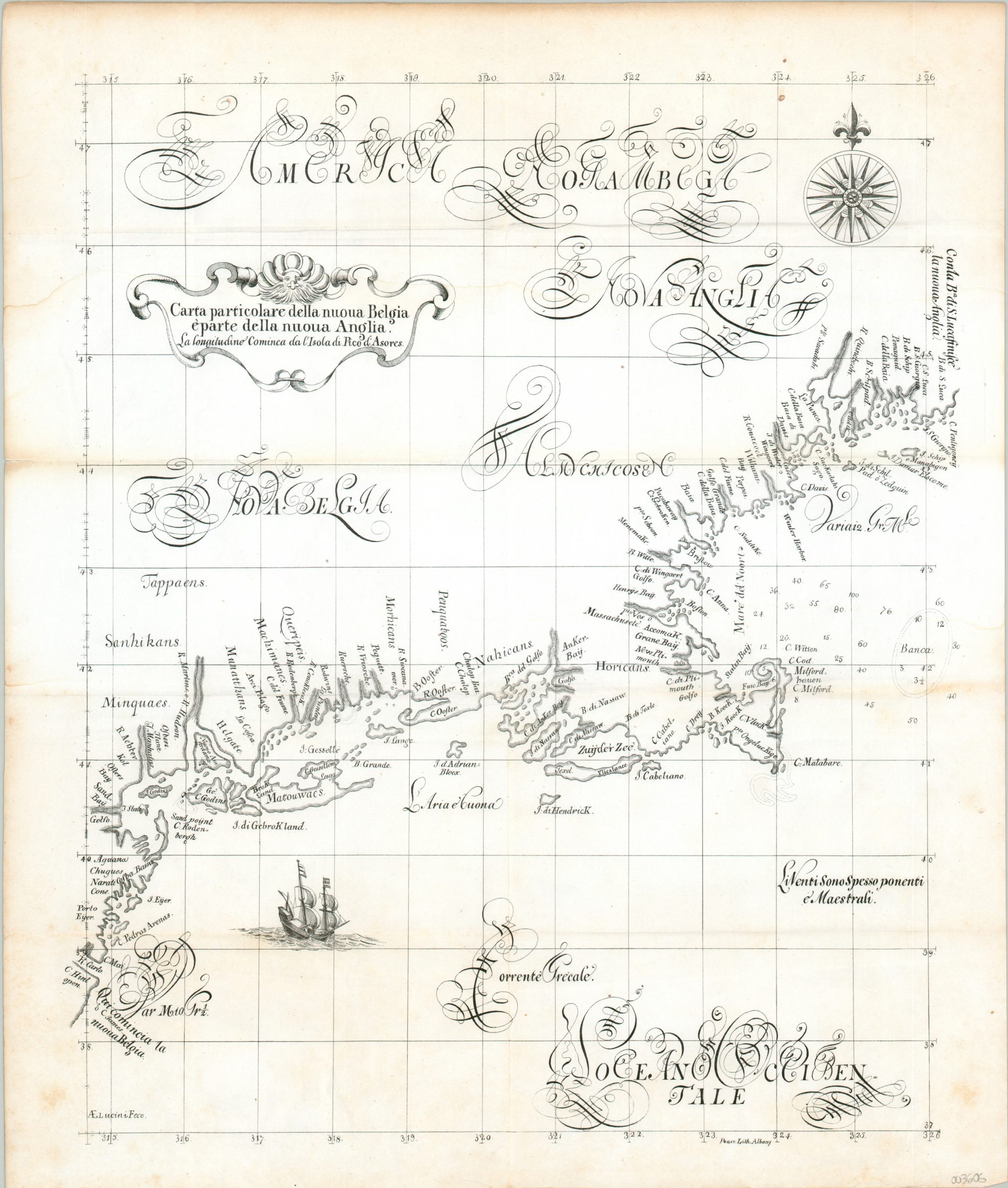
Carta particolare della nuova Belgia eparta della nuova Anglia
$450.00
19th century reprint of Dudley’s influential chart of the Atlantic coastline.
1 in stock
Description
This is an attractive c. 1850 lithographic facsimile of Sir Robert Dudley’s 1648 map of the Atlantic coast, considered to be the first printed sea chart covering New England. It was originally published as part of the influential Dell’Arcano del Mare (Secrets of the Sea), the first sea atlas created by an Englishman and an important step in the development of maritime cartography between portolan charts and more sophisticated printed works of the 17th and 18th centuries.
The image, based largely on Dutch sources, leverages the Mercator projection and covers the coast between approximately Cape Henlopen near Delaware Bay to just past the Kennebec River in Maine. New Amsterdam (New York) is noted on a triangular Manhattan Island, while the use of the name ‘River Hudson’ reflects English claims in the region. Boston’s position is shown somewhat accurately (one of the earliest printed maps to do so), with depth soundings noted around Massachusetts Bay.
References: Burden 278
Map Details
Publication Date: c. 1850
Author: Robert Dudley/Richard Pease
Sheet Width (in): 16.50
Sheet Height (in): 19.25
Condition: B+
Condition Description: Scattered spotting and discoloration visible in the margins and a few areas within the image. Moderately creased along former fold lines. Good to very good overall.
$450.00
1 in stock