
Canada
$60.00
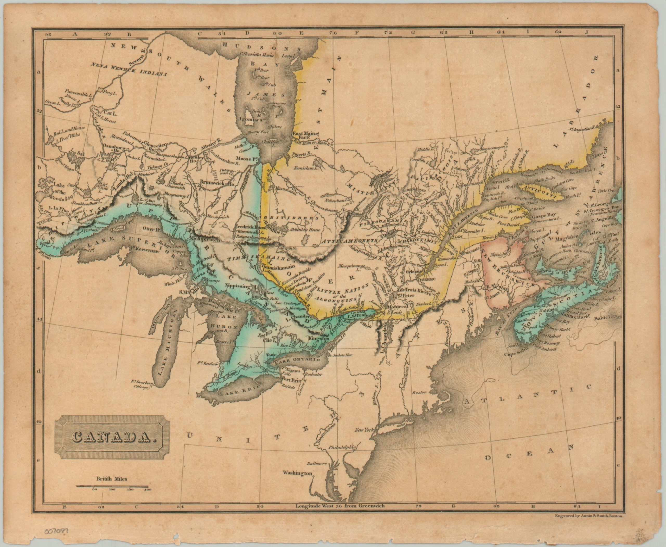
British colonies in Canada during the 1820s.
1 in stock

Description
This attractive antique map of British Canada was published around 1825 by Annin & Smith of Boston. Soft hand color distinguishes the boundaries of the colonies of Upper Canada, Lower Canada, New Brunswick and Nova Scotia. Toponyms identify a fascinating variety of indigenous tribes, trading outposts, forts, missions, and geographic features. A keyed index sheet, also included, locates hundreds of different places.
Map Details
Publication Date: c. 1825
Author: Annin & Smith
Sheet Width (in): 10.75
Sheet Height (in): 8.75
Condition: B
Condition Description: Heavily toned sheet with original hand color. Scattered spotting and an irregular lower binding edge. Includes the corresponding index sheet.
$60.00
1 in stock