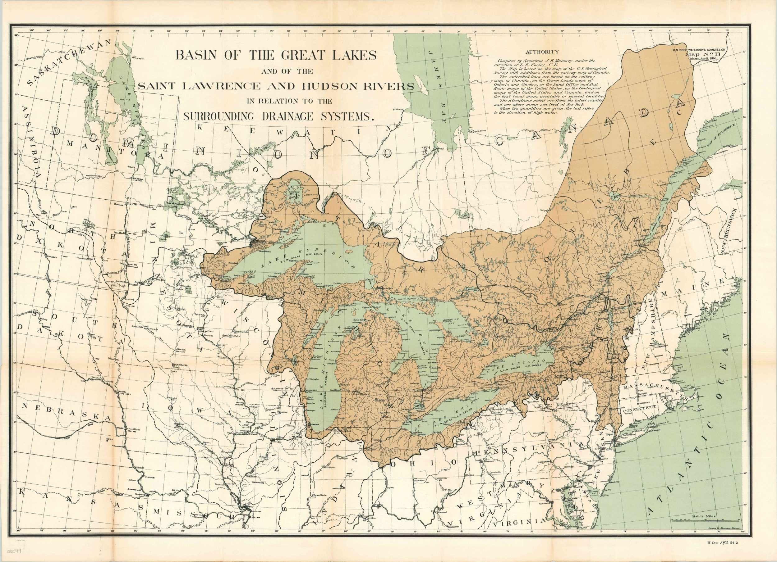
Basin of the Great Lakes and of the Saint Lawrence and Hudson Rivers…
A cartographic depiction of the importance of geography for cities like Chicago and New York.
Out of stock
Description
This large map of the Midwestern United States and eastern Canada highlights the drainage basin of the Saint Lawrence and Hudson Rivers. (Note, the basins of the two rivers are generally referenced separately). The drainage areas are colored in brown and overlaid on a base map which provides elevation for various points throughout the U.S. and Canada. Chicago can be seen situated on the edge of the continental divide between the systems of the Saint Lawrence and the Gulf of Mexico. This strategic location and portage provided a unique geographic basis which contributed to Chicago’s commercial success and development. New York is situated in a similarly beneficial location at the headwaters of the Hudson, making it a prime location for trading between its Atlantic port and the interior of the continent.
Map Details
Publication Date: 1896
Author: U.S. Deep Waterways Commission
Sheet Width (in): 34.75
Sheet Height (in): 25.5
Condition: B+
Condition Description: Some discoloration along originally issued fold lines, especially on the left side. Printed on thin paper, which is what makes the good condition even more remarkable.
Out of stock