
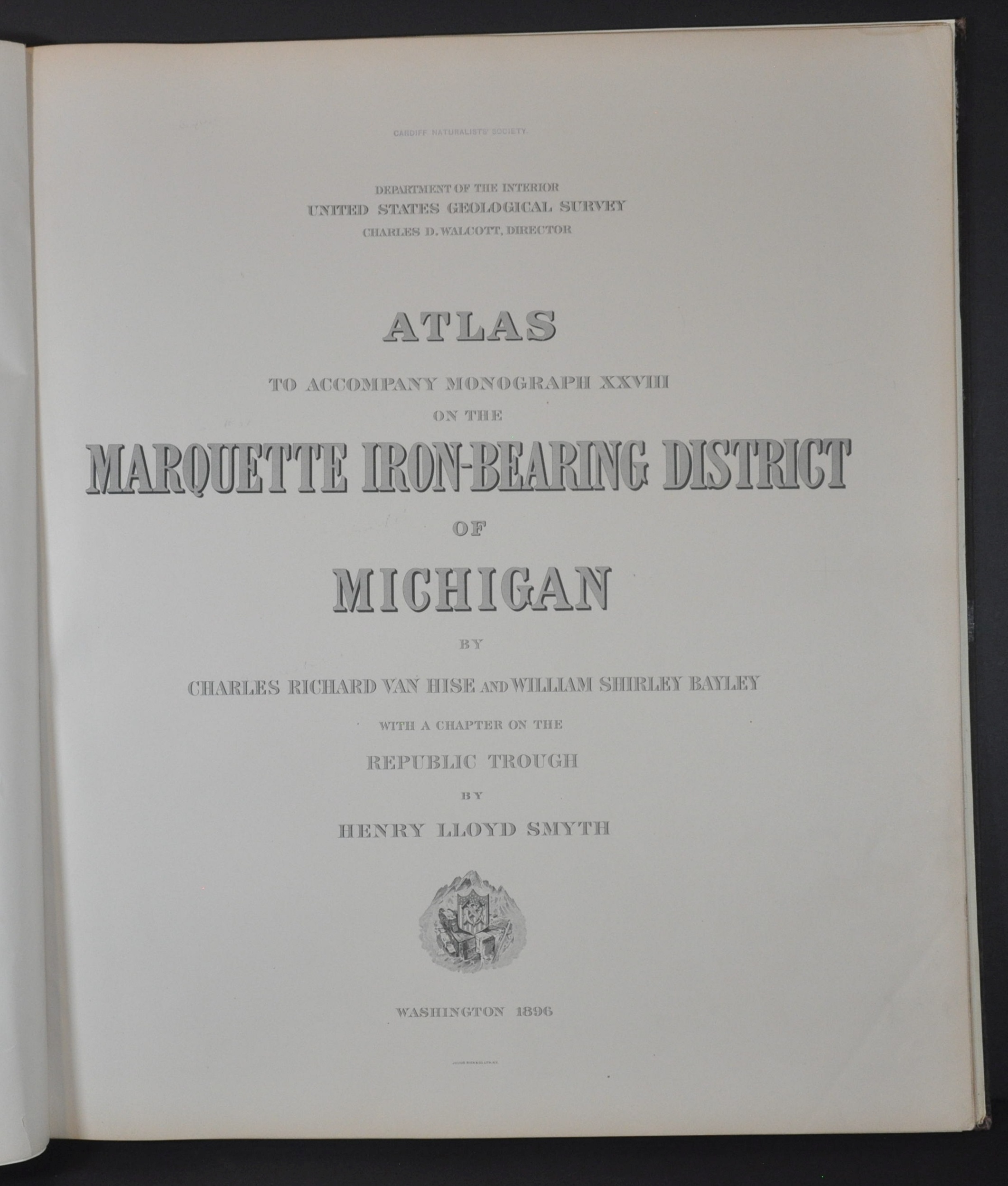
Atlas to Accompany Monograph XXVII on the Marquette Iron-Bearing District of Michigan
$250.00
Geologic atlas outlining an area rich in iron ore in Michigan’s Upper Peninsula.
1 in stock




Description
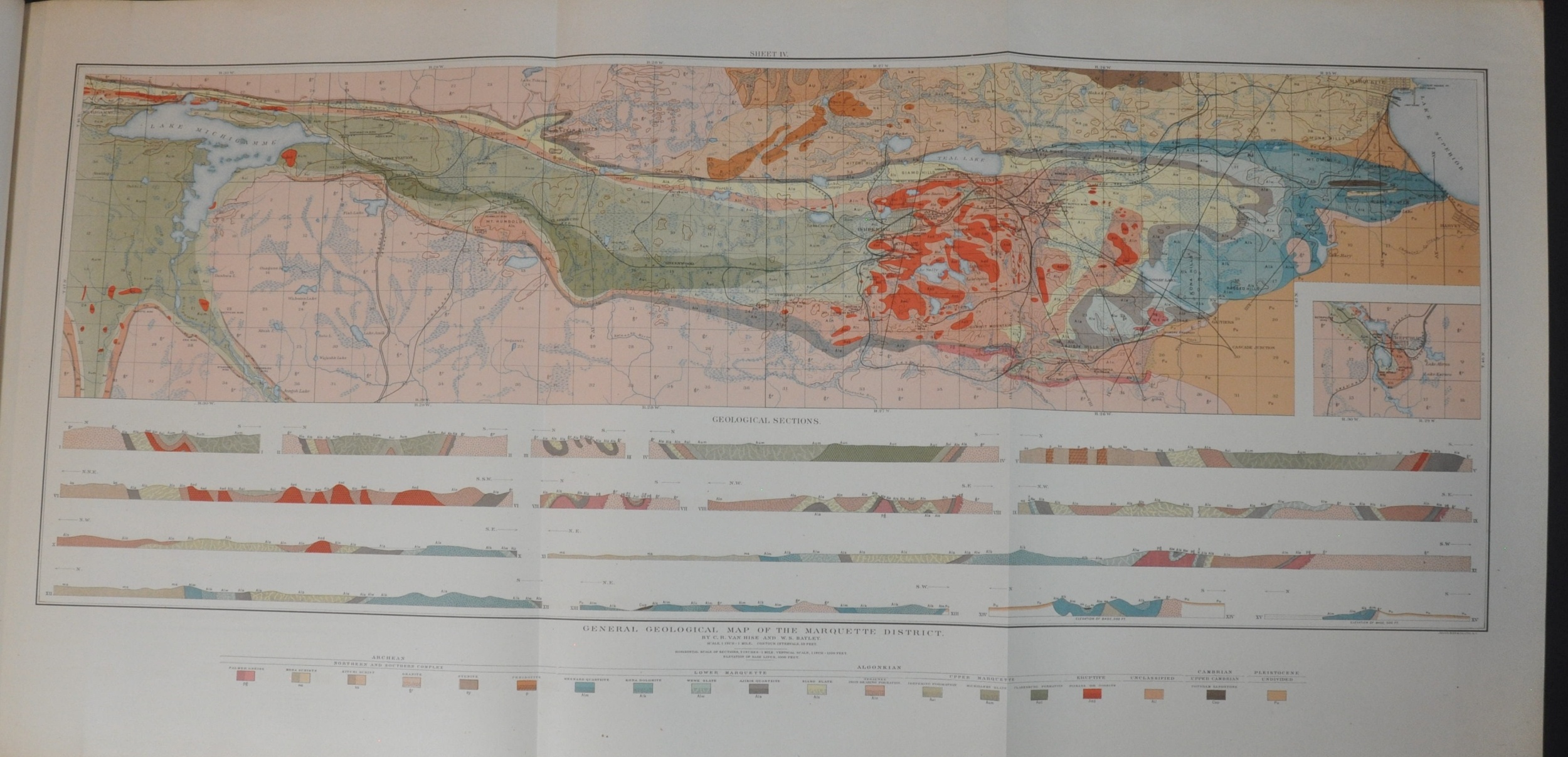
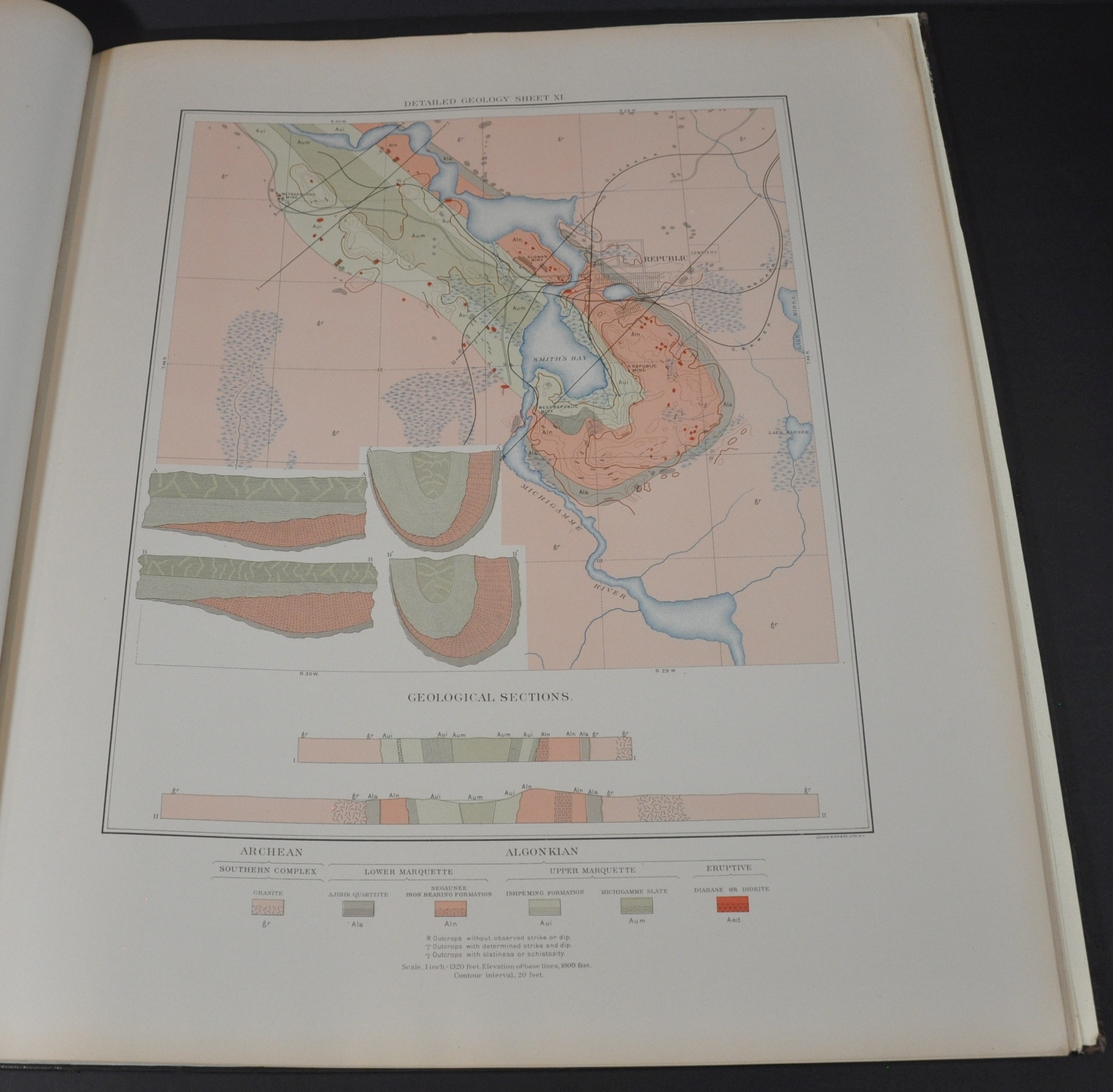
As part of the Iron River quadrangle, the Marquette Iron-Bearing District in Michigan’s Upper Peninsula was part of one of the most historically valuable locations for iron extraction in the late 19th and early 20th centuries. Centered on the coastal city of Marquette (from which the iron would be shipped across the world), a network of railroads extended into mines scattered across the region, which was mostly wilderness.
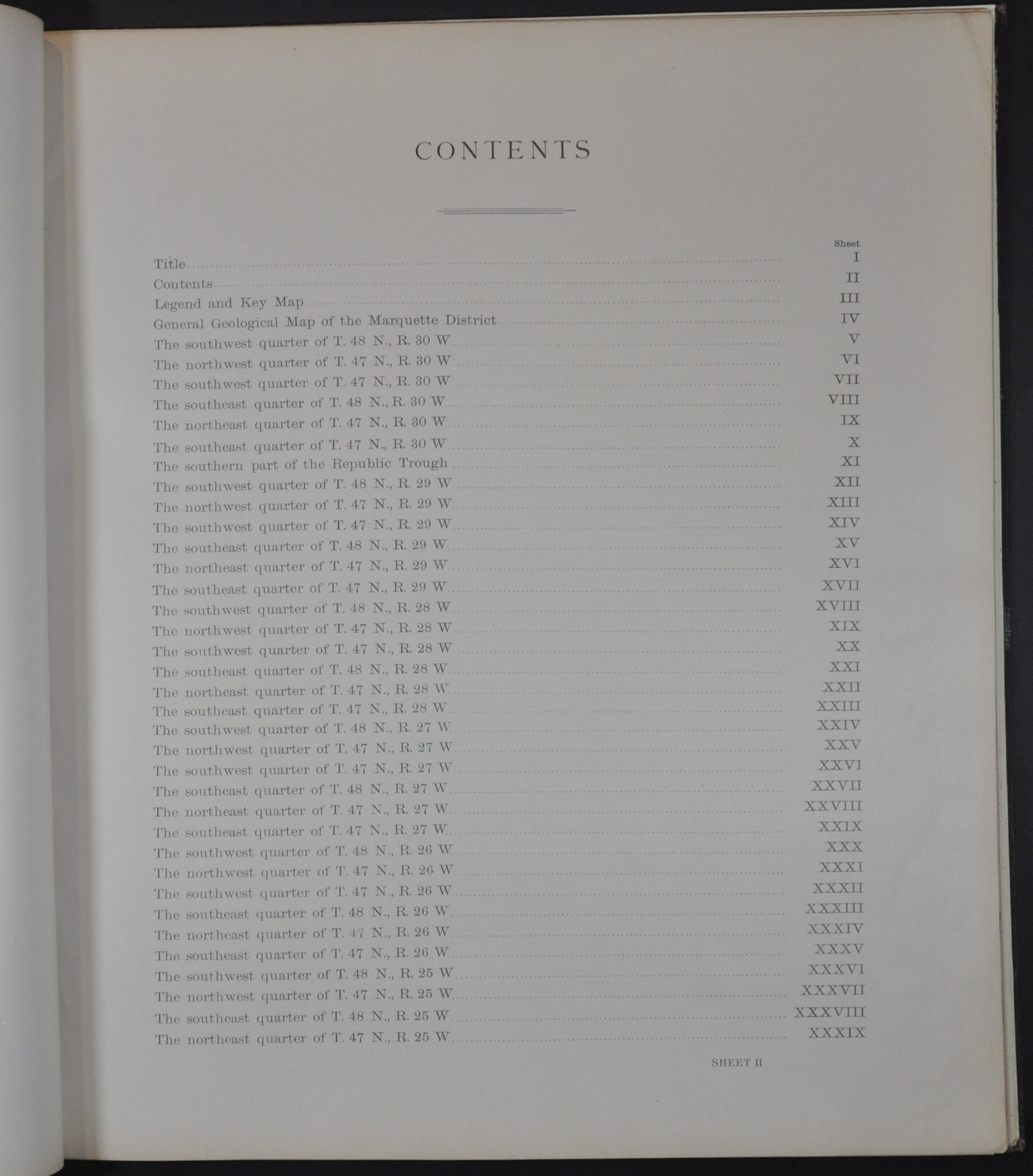
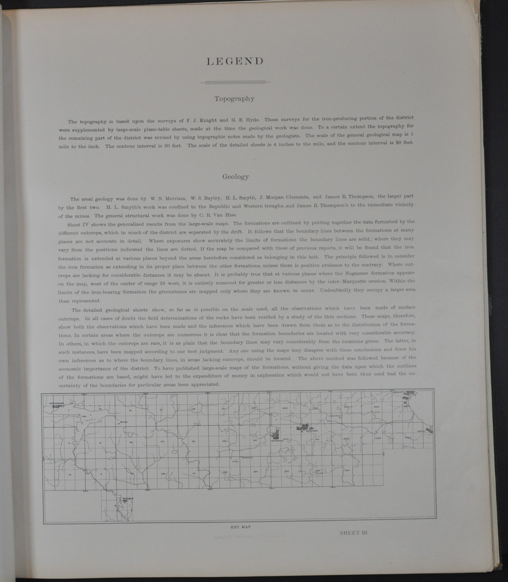
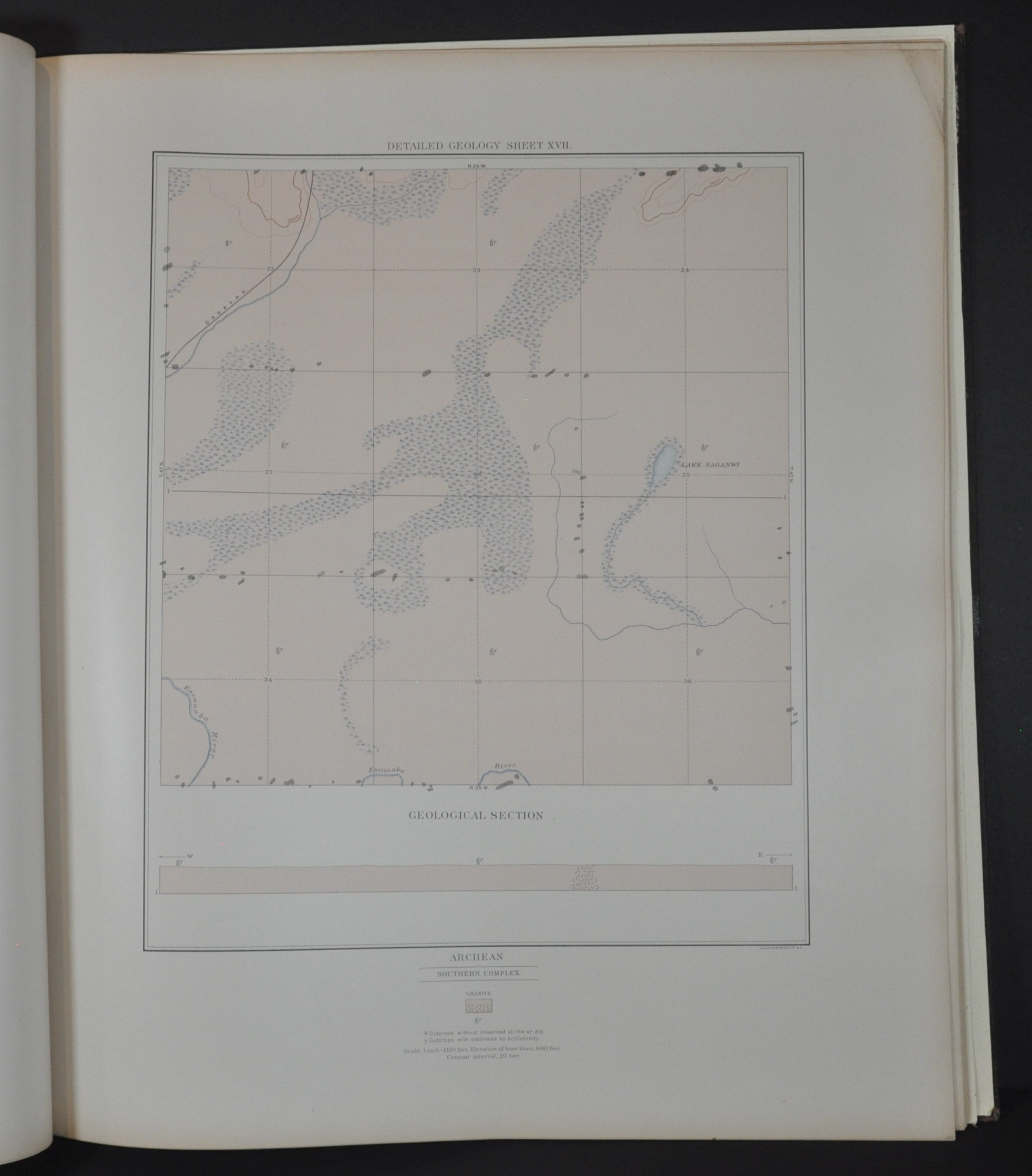
This atlas, issued by the United States Geological Survey in 1896, includes a brief outline of the geology of the Marquette District, and numerous maps covering the topography and geographic composition of the land. Compiled by Charles Richard Van Hise and William Shirley Bayley. Lithography performed in New York City by the well-known firm of Julius Bien & Co.
Source.
Map Details
Publication Date: 1896
Author: Charles Van Hise and William Bayley
Sheet Width (in): 21.75
Sheet Height (in): 17.50
Condition: A
Condition Description: Complete, 39 sheets with 37 maps (1 fold out). Bound in original brown gilt cloth boards with new endpapers. Covers are slightly worn, but contents are generally in very good to near fine shape. Minor wrinkling and creasing in some corners and a few scattered fingerprints. Old Cardiff Naturalists' Society rubberstamp on the title page.
$250.00
1 in stock