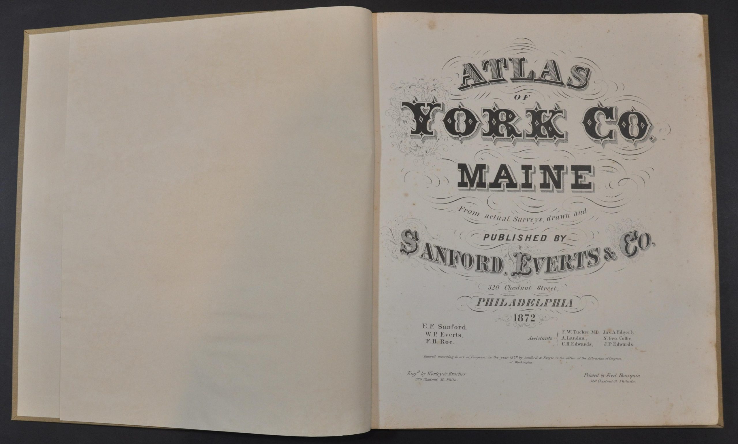
Atlas of York Co. Maine
$400.00
Detailed atlas of York County, Maine in the early 1870s.
1 in stock


Description
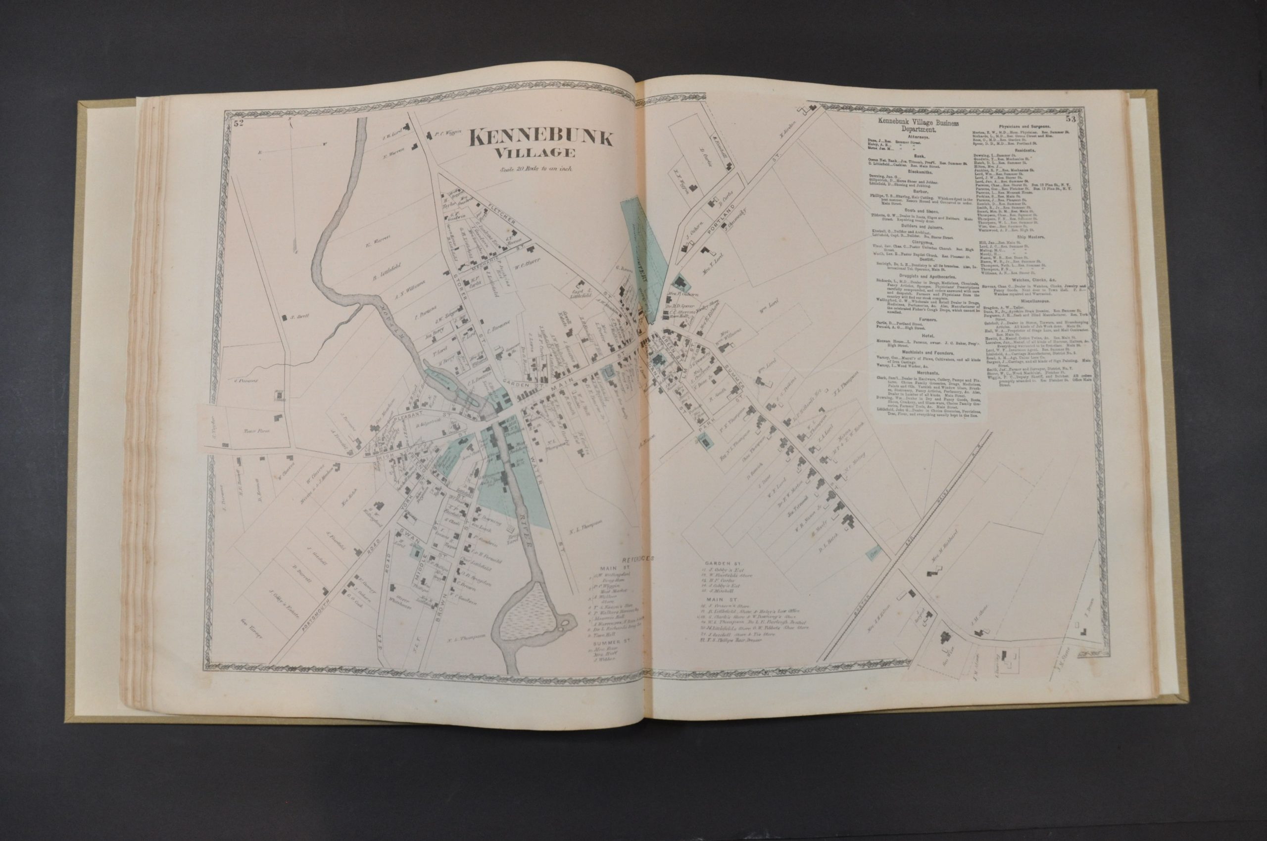
This incredible atlas provides a thorough overview of York County, Maine near the end of the 19th century. The county, one of the oldest in the nation, is located in the southwestern part of the state and is divided by the Salmon Falls River.
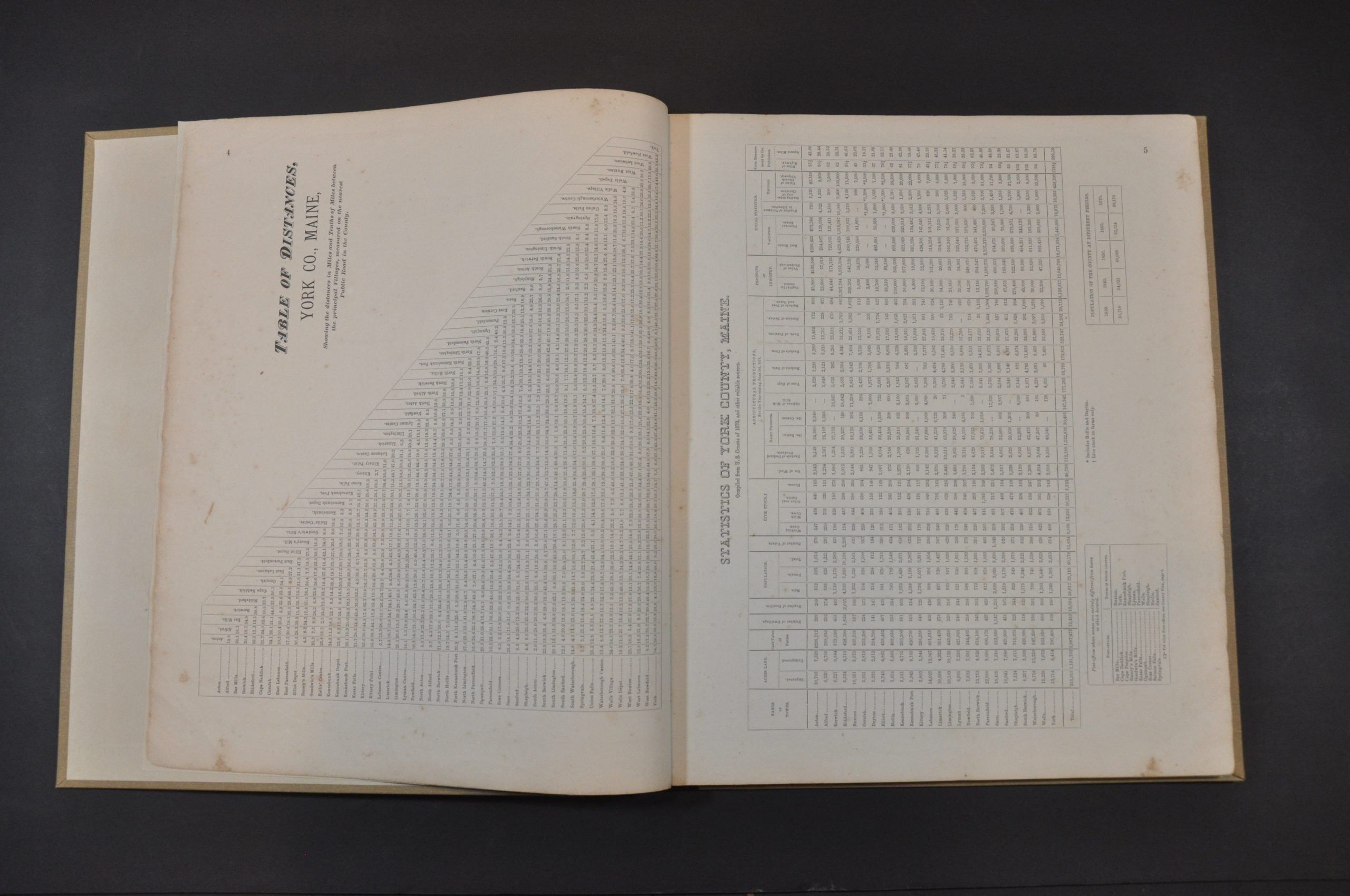
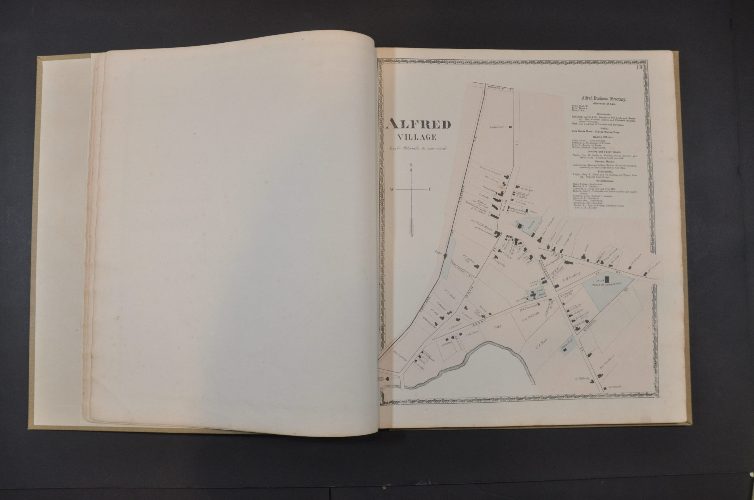
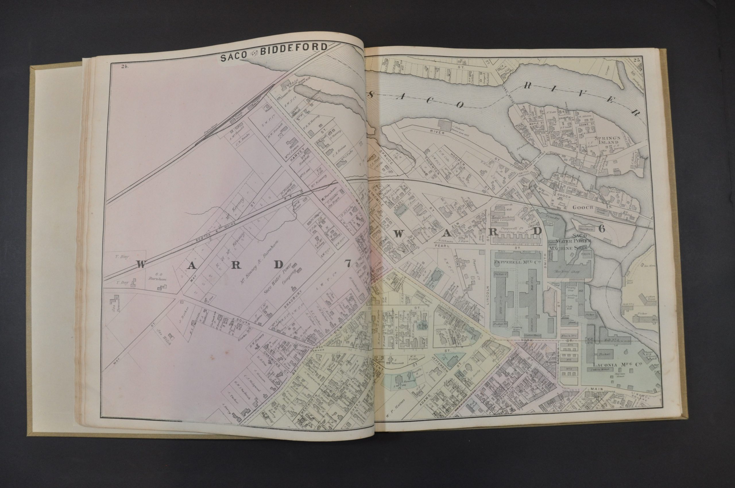
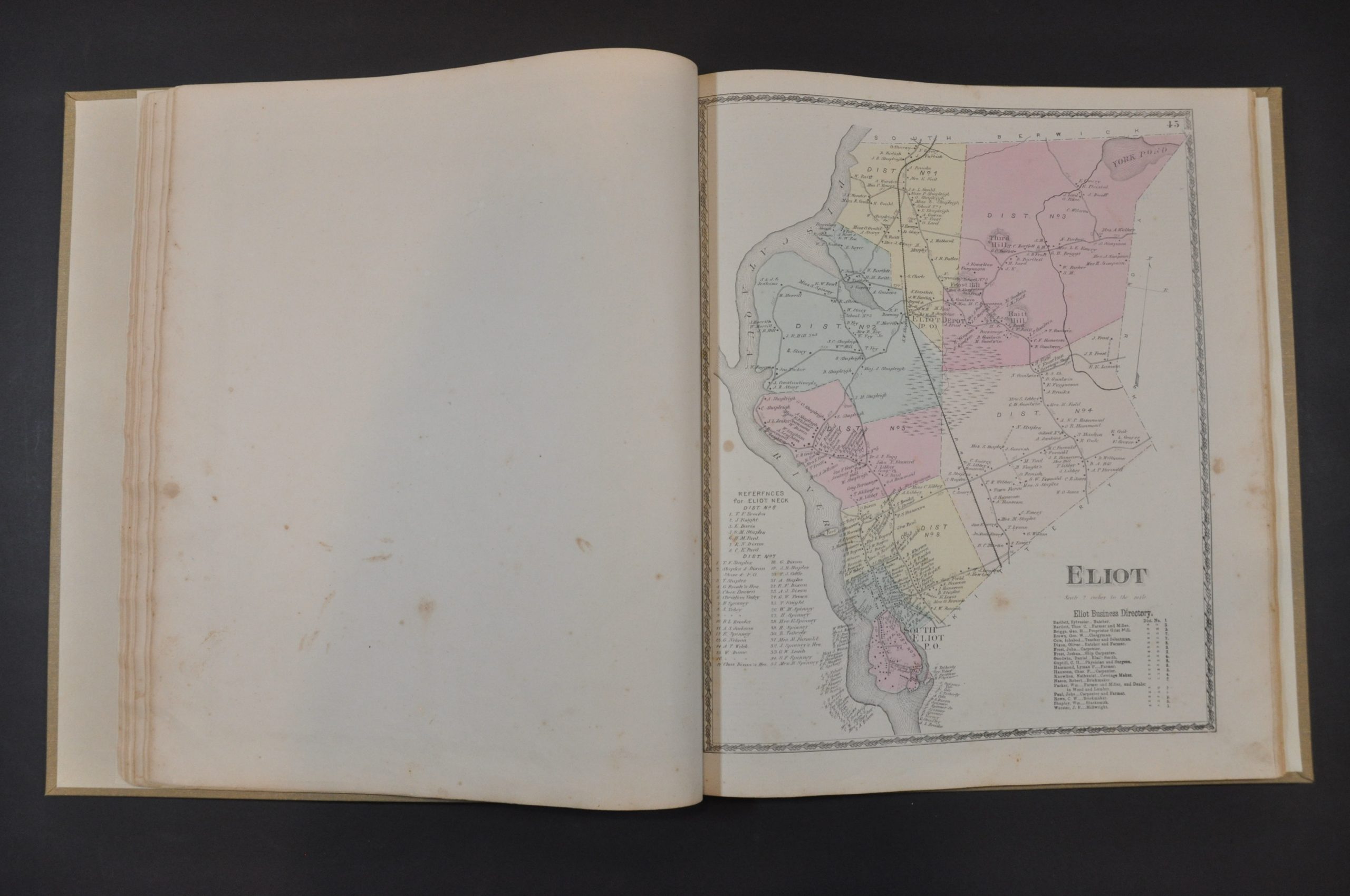
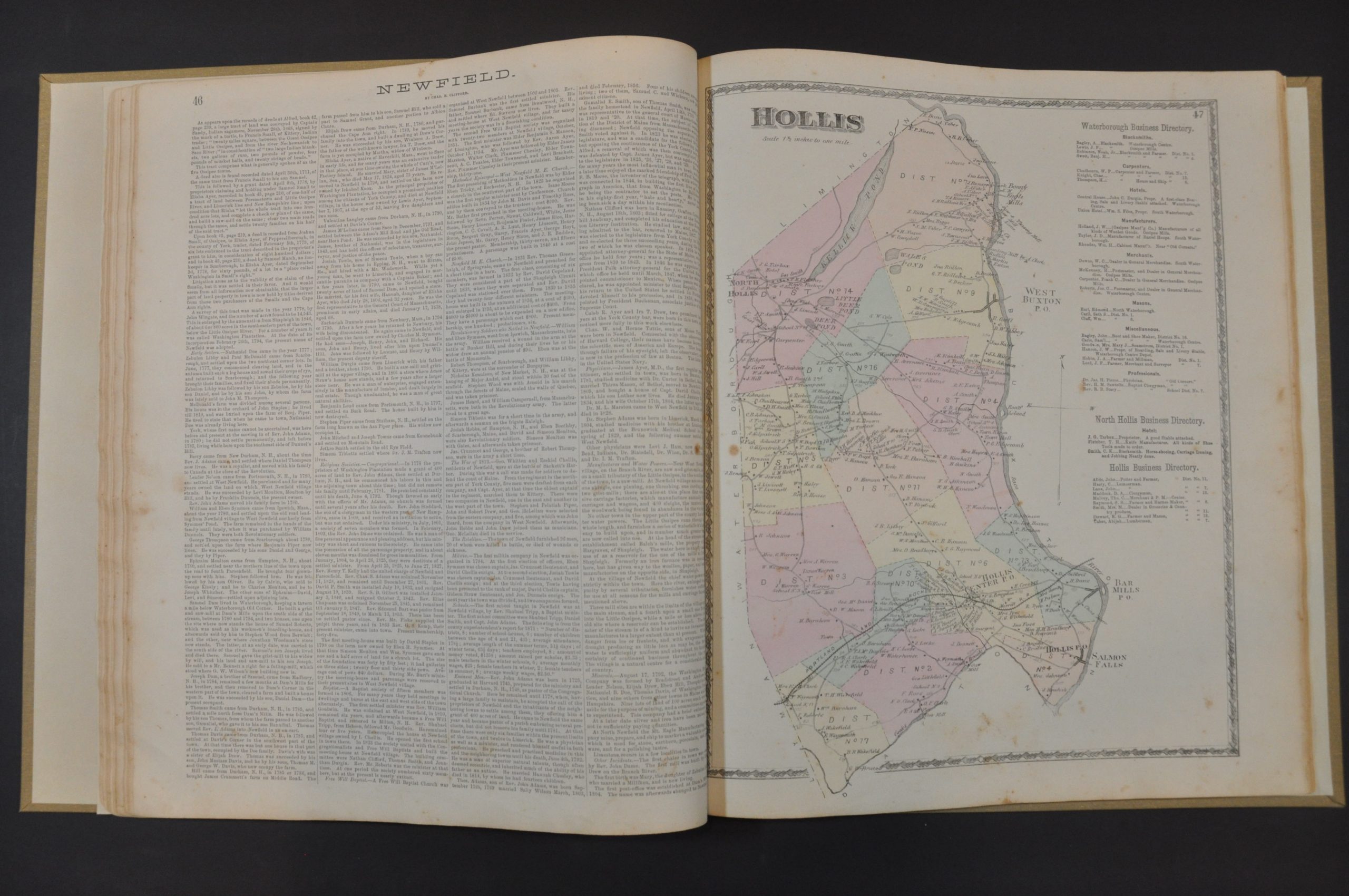
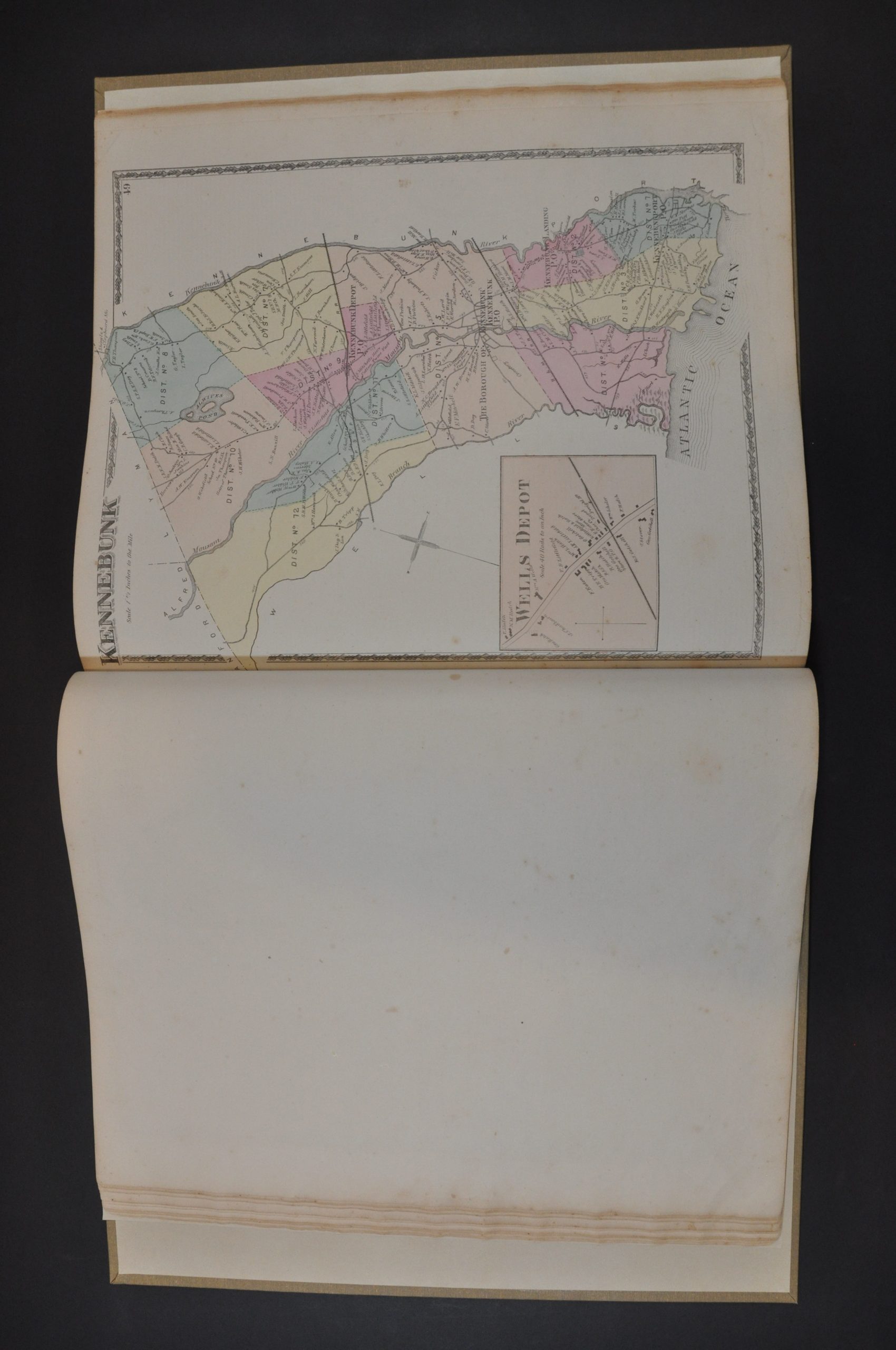
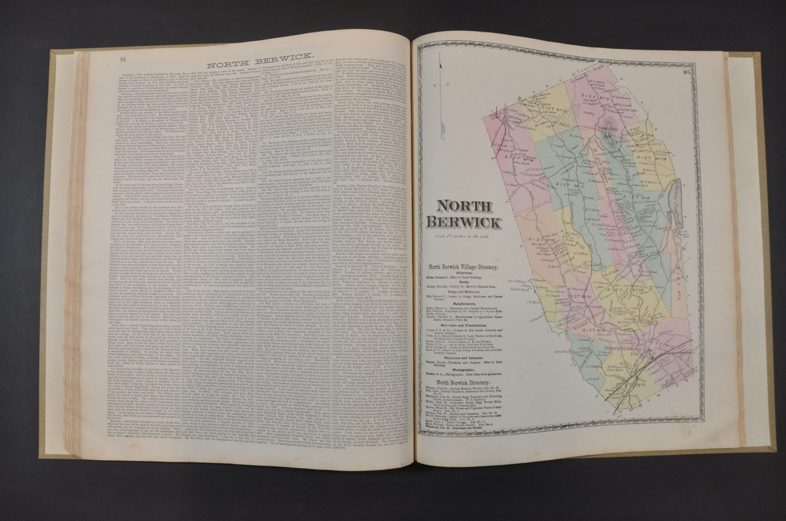
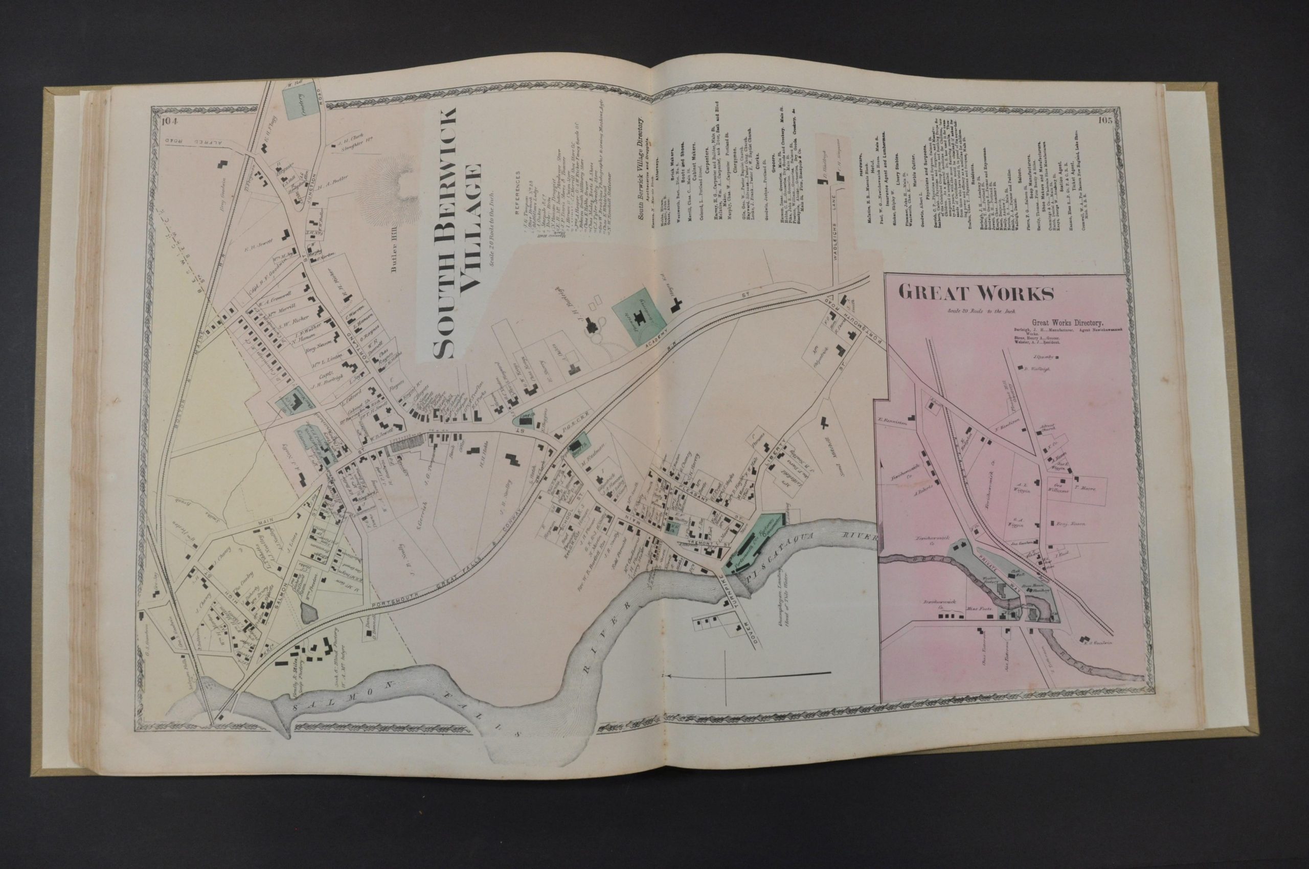
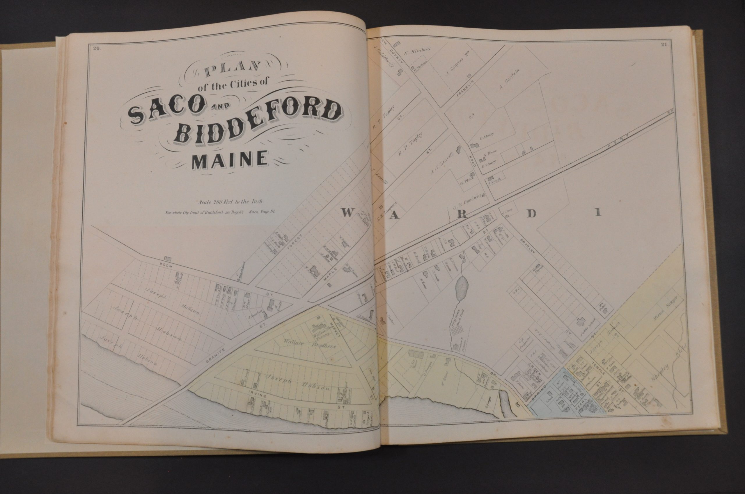
A table of distances and a chart of population statistics is followed by a double-page outline map of the county. The image notes transportation routes, settlements, post offices, and geographic features – including the numerous lakes and hills that dot the region. This is followed by 14 double-page and 30 single-page maps of townships, village street plans, and city wards. The majority of these provide information on land ownership, property divisions, public areas (parks, cemeteries, etc.), and important buildings. Of particular interest is the five-sheet plan of Biddeford and Saco.
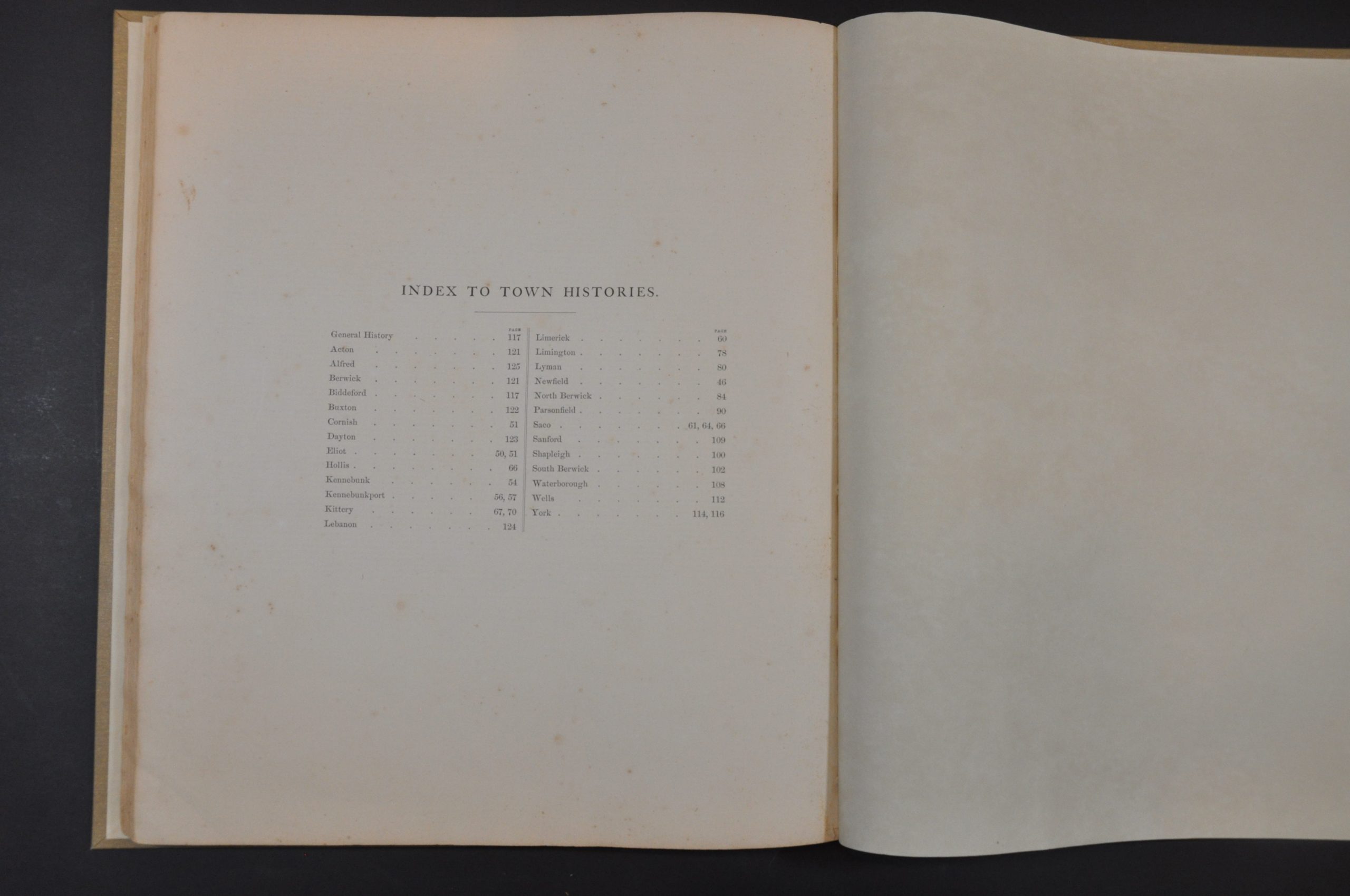
Historical sketches provide fascinating background information about many of the referenced communities. Numerous maps include business directories and lists of local patrons. This likely refers to the list of residents and business people who ‘subscribed’ to the publication of the atlas by providing funds up-front to defray the costs. This was a common method of publishing county atlases in the late-19th century. For a set fee, subscribers were among the first to receive the finished work and often had the opportunity to pay extra for custom additions. As a result, many examples of county atlases include portraits of individual patrons, views of personal residences and businesses, and even images of prize farm animals!
The maps were surveyed and drafted by E.F. Sanford, W.P. Everts, and F.B. Roe, with engraving by Worley & Bratcher and printing by Frederick Bourquin. The atlas was published in Philadelphia in 1872 by Sanford, Everts, & Co.
Map Details
Publication Date: 1872
Author: Sanford, Everts, & Co.
Sheet Width (in): 16.5
Sheet Height (in): 13.75
Condition: A-
Condition Description: Professionally restored and rebound in full new brown cloth boards with a black leather spine. New textured endpapers. Contents are complete - 128 pages including 14 double page and 30 single page maps in original color. Generally very good, with light scattered spotting, a few closed edge tears, and moderate soiling visible throughout. Most of the visual defects are confined to the margins, where the pages have previously been turned, and are consistent with age and use.
$400.00
1 in stock