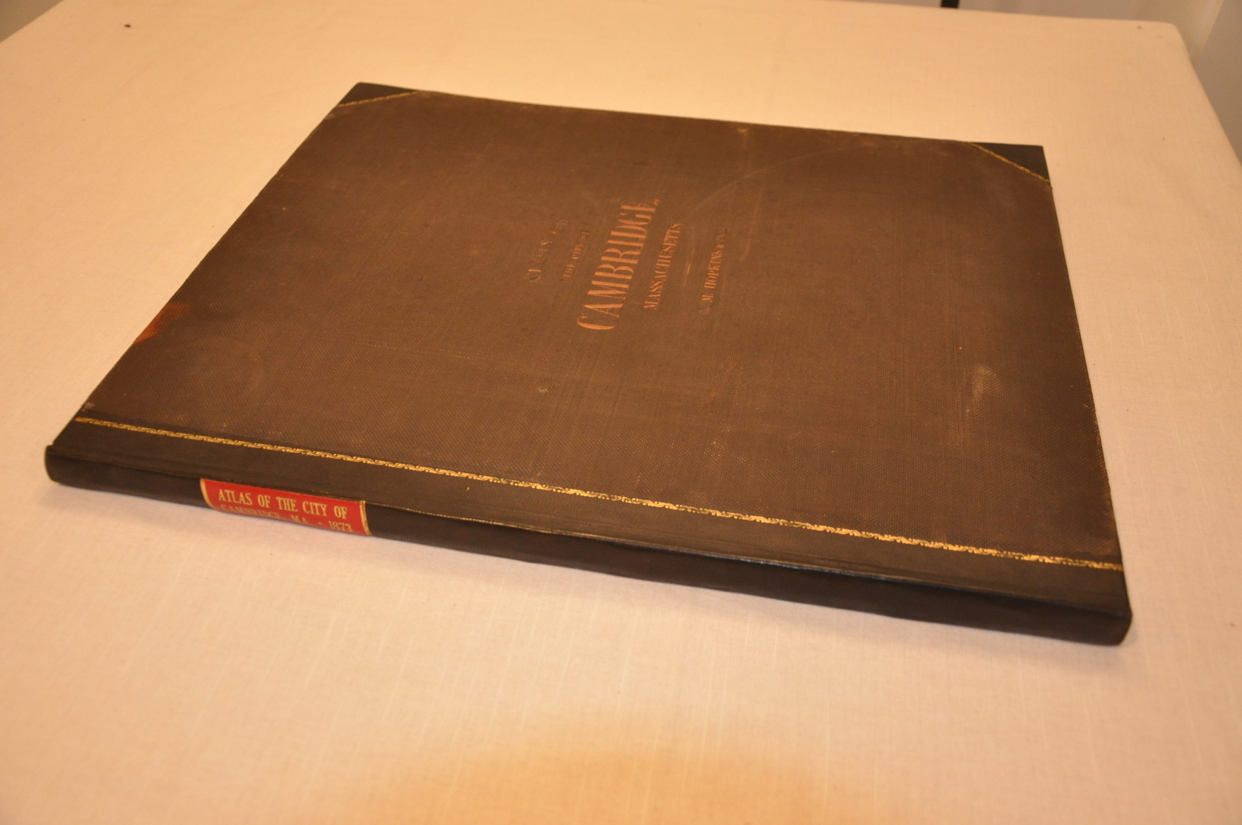
Atlas of the City of Cambridge Middlesex Co. Massachusetts
$375.00
Incomplete atlas of the city of Cambridge, Massachusetts.


Description
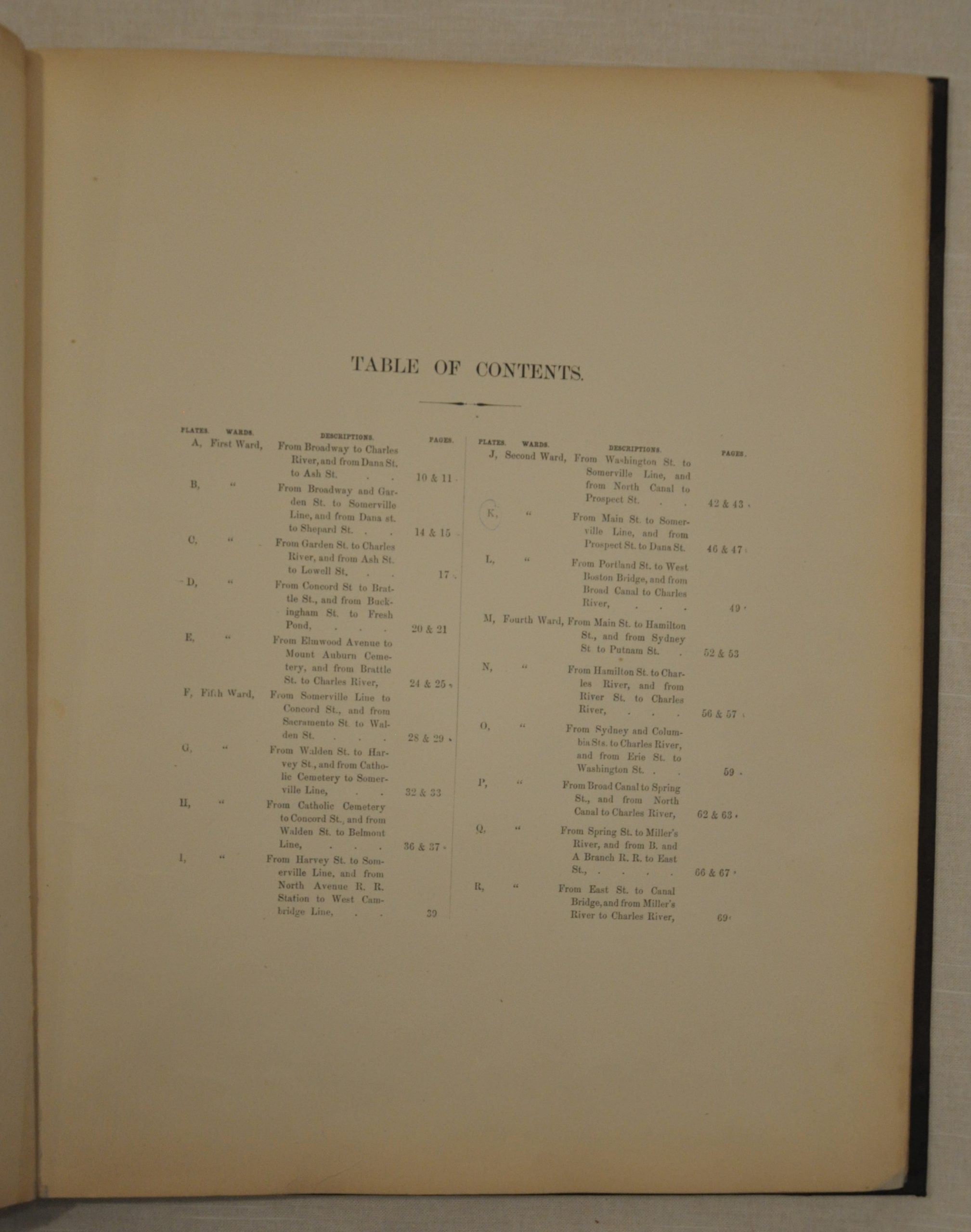
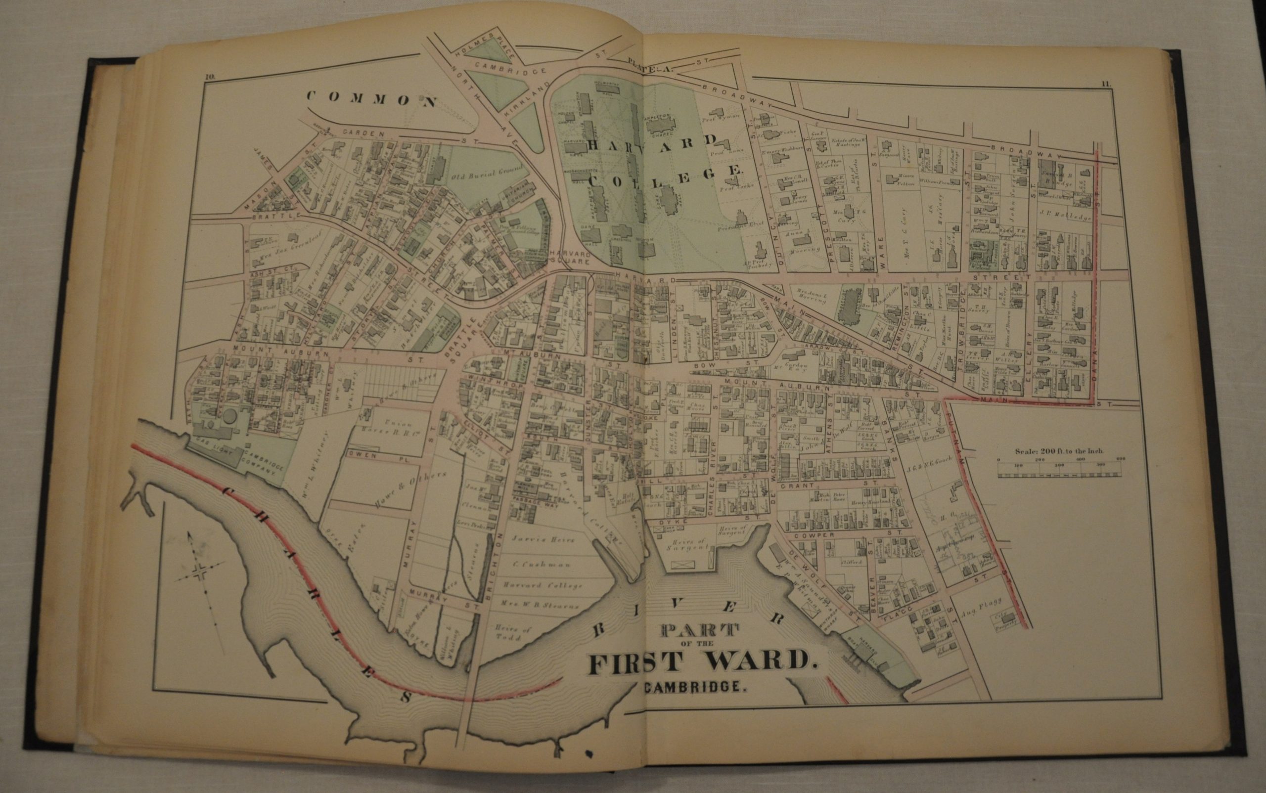
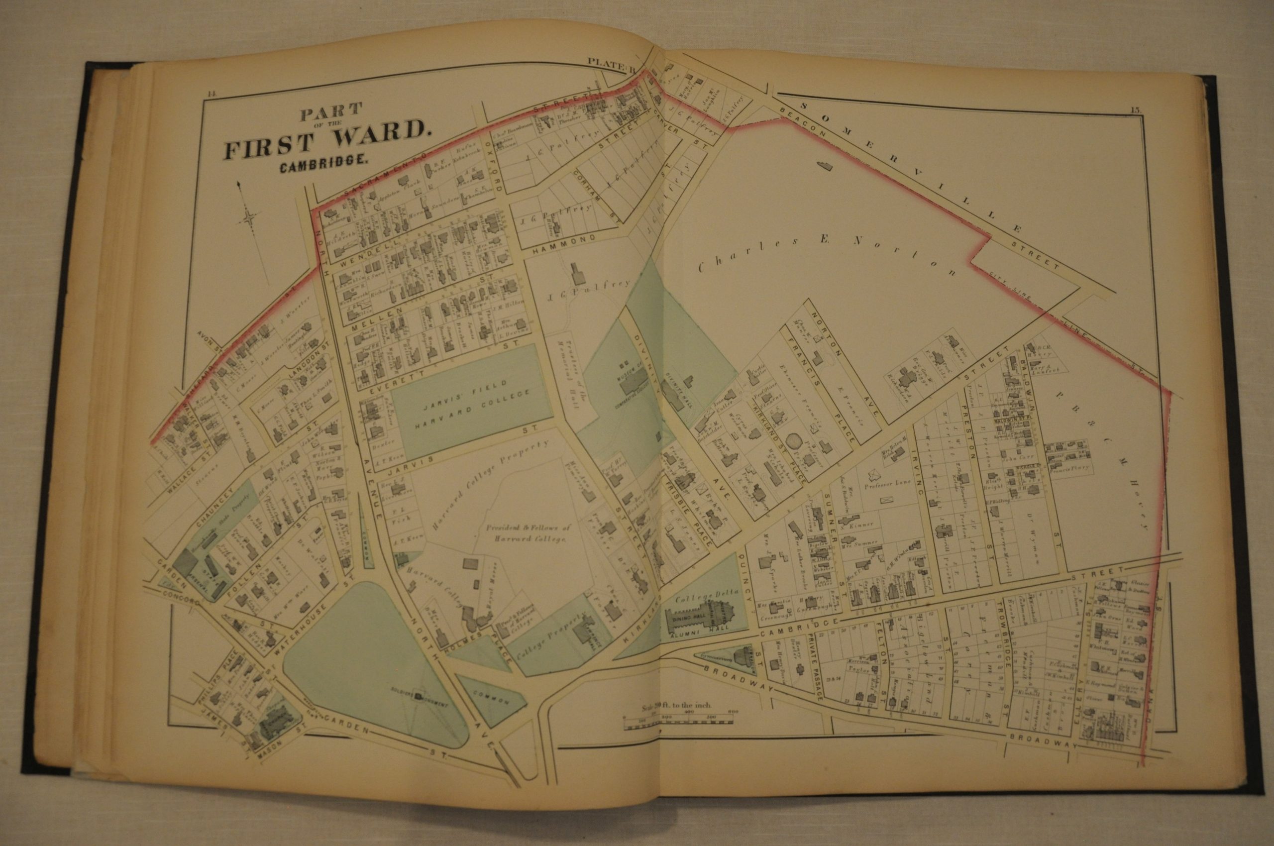
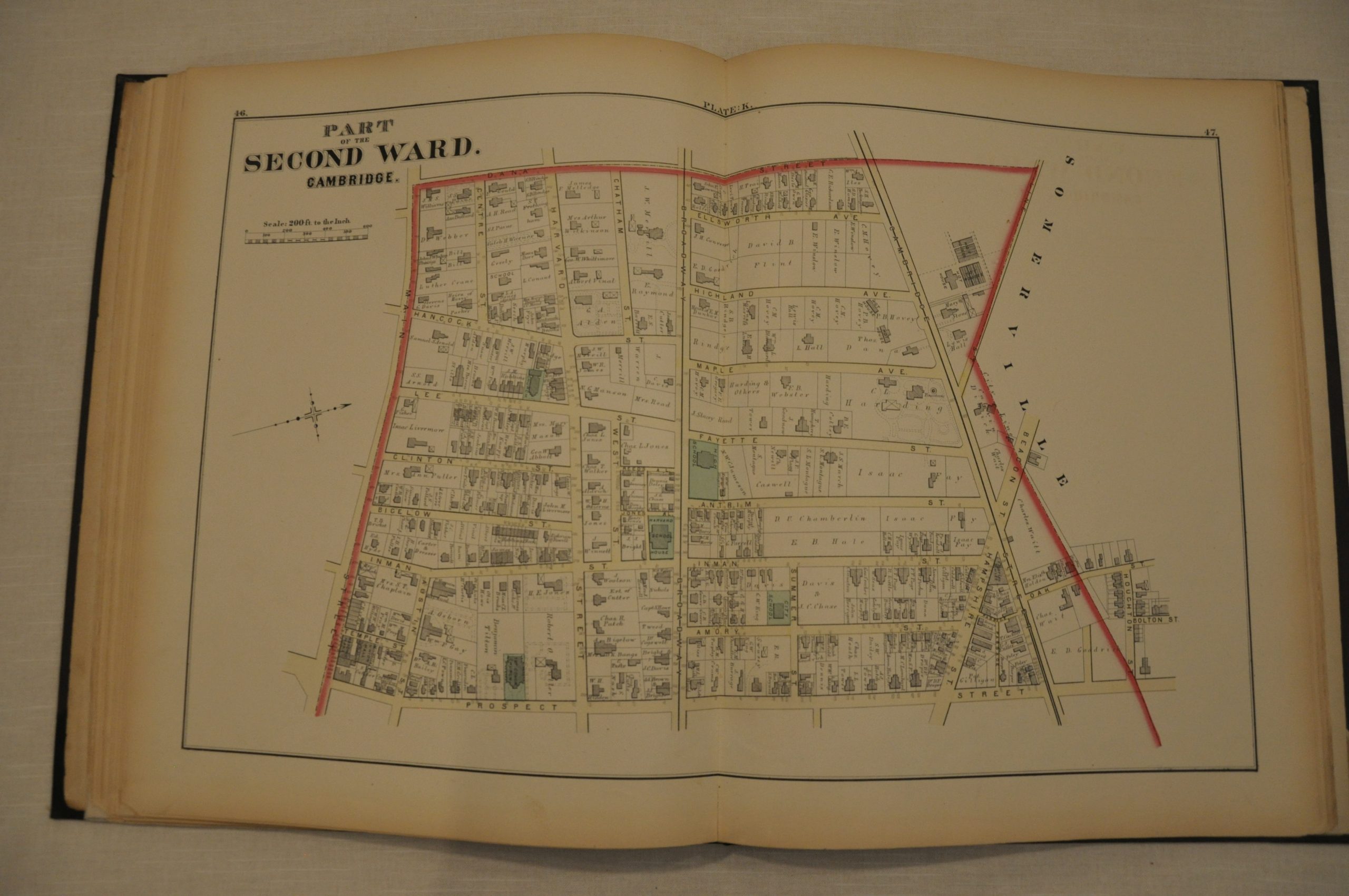
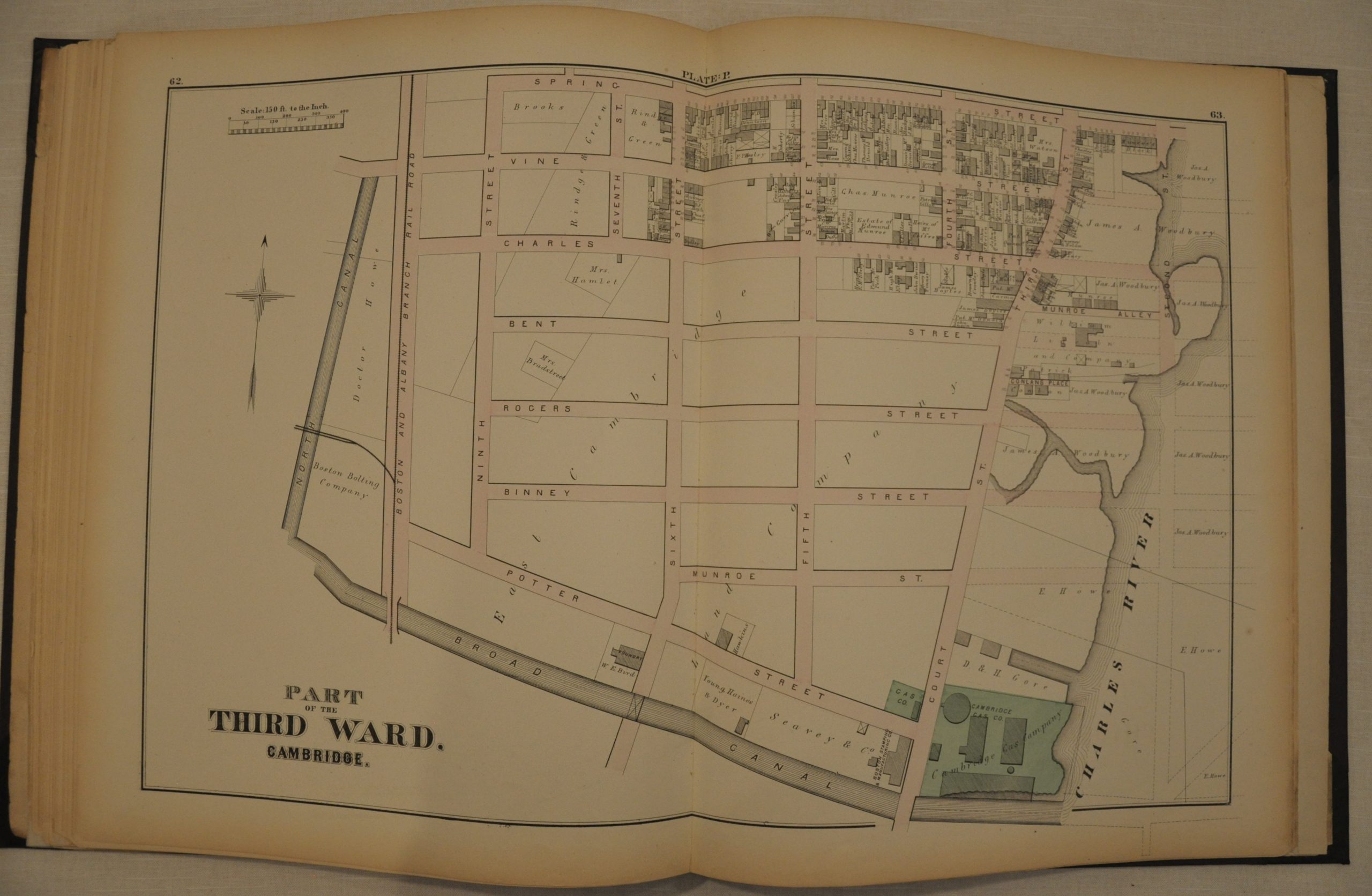
Situated across the Charles River from Boston, Cambridge, Massachusetts is perhaps best known as the home of Harvard University and MIT. This atlas, published in 1873 in Philadelphia by G.M. Hopkins, shows the city in tremendous detail at a scale of 200 feet to an inch. Individual buildings are outlined and labeled, while the names of property owners can be seen within the borders of many plots of land.
This level of information allows for a fascinating window into late 19th century Cambridge as it was beginning to develop much of its present character. Delicate hand color is applied to streets, parks, cemeteries and important industries atop a bold steel plate impression. The atlas is lacking 4 of the 18 plates, most of which are double page.
Map Details
Publication Date: 1873
Author: G.M. Hopkins
Sheet Width (in): 14
Sheet Height (in): 17.5
Condition: B
Condition Description: Unfortunately the atlas is lacking 4 of the 18 steel engraved maps. Otherwise, it's in excellent condition. Rebound in quarter leather with original cover and title page. Plates are in very good condition, with faint soiling around the edges and slightly brittle paper consistent with age. Missing two plates from Ward 1, one plate from Ward 5 and one plate from Ward 4. The Harvard College sheet is present and in near fine condition.
$375.00