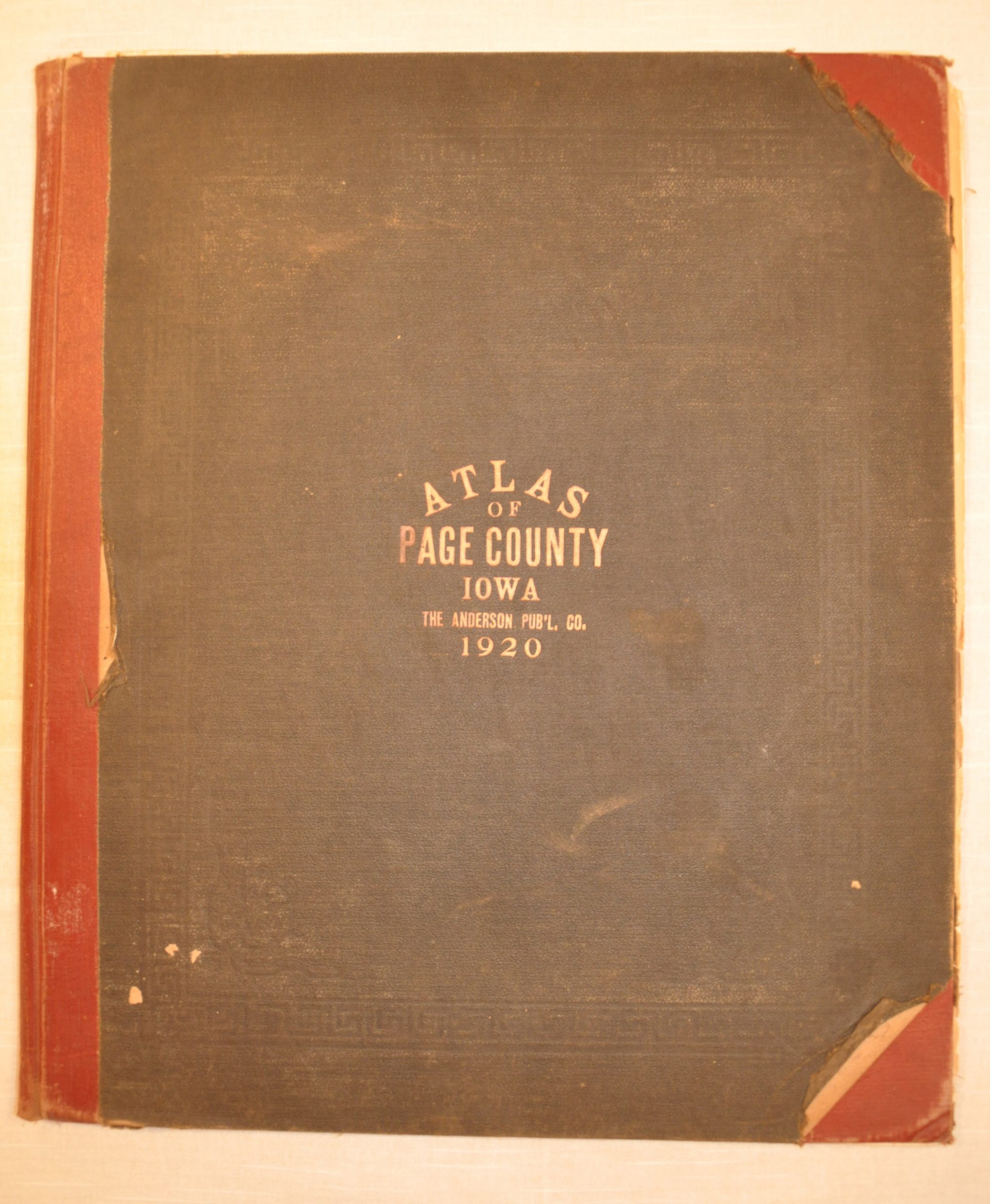
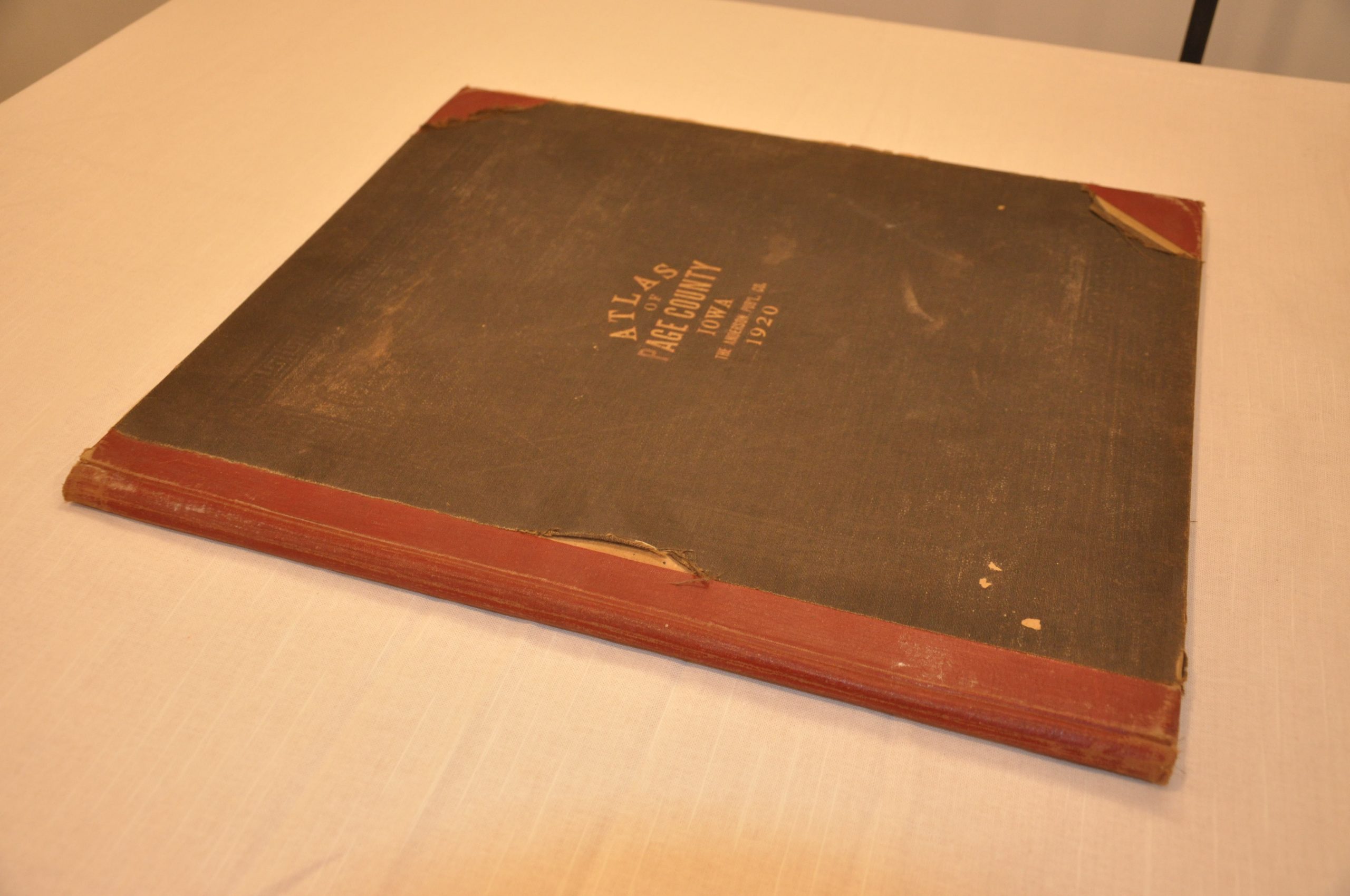
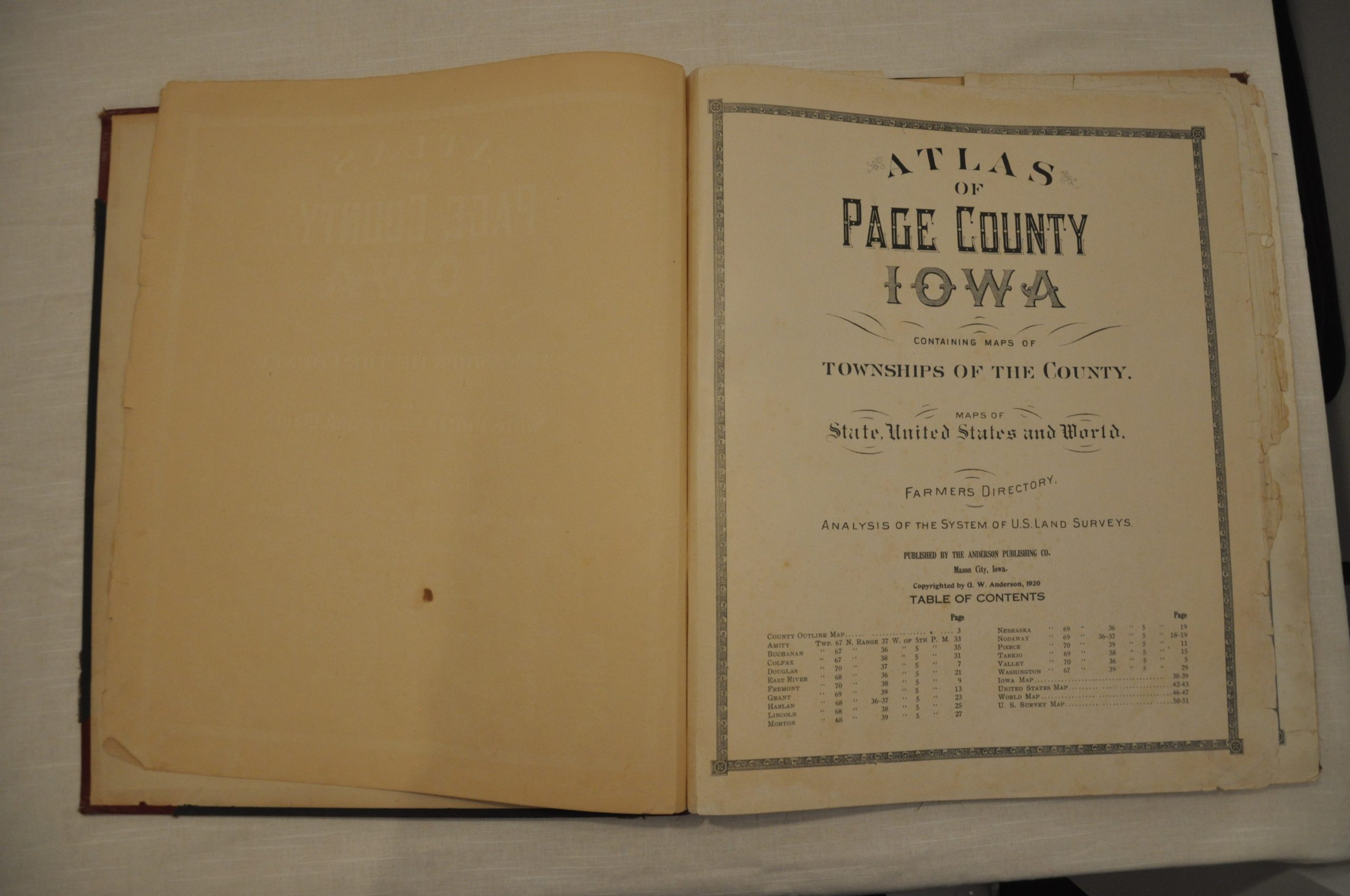
Atlas of Page County, Iowa
$125.00
An agricultural snapshot from America’s heartland.


Description
This is an atlas of Page County, Iowa which shows land ownership throughout the largely rural county in the southwest corner of the state. It was published in 1920 in Mason City, Iowa by the firm of G.W. Anderson. Individual properties are outlined and labeled with the name of their owner; while schools, churches, houses, roads, and railroads are also noted.
Adjacent to each map is a farmer’s directory of each township. These entries include information about individual farmers including their property status, years in the area, family composition, and holding size. A fascinating history of the small farmers that originally made up much of America’s breadbasket, and an invaluable source of genealogical information for local residents.
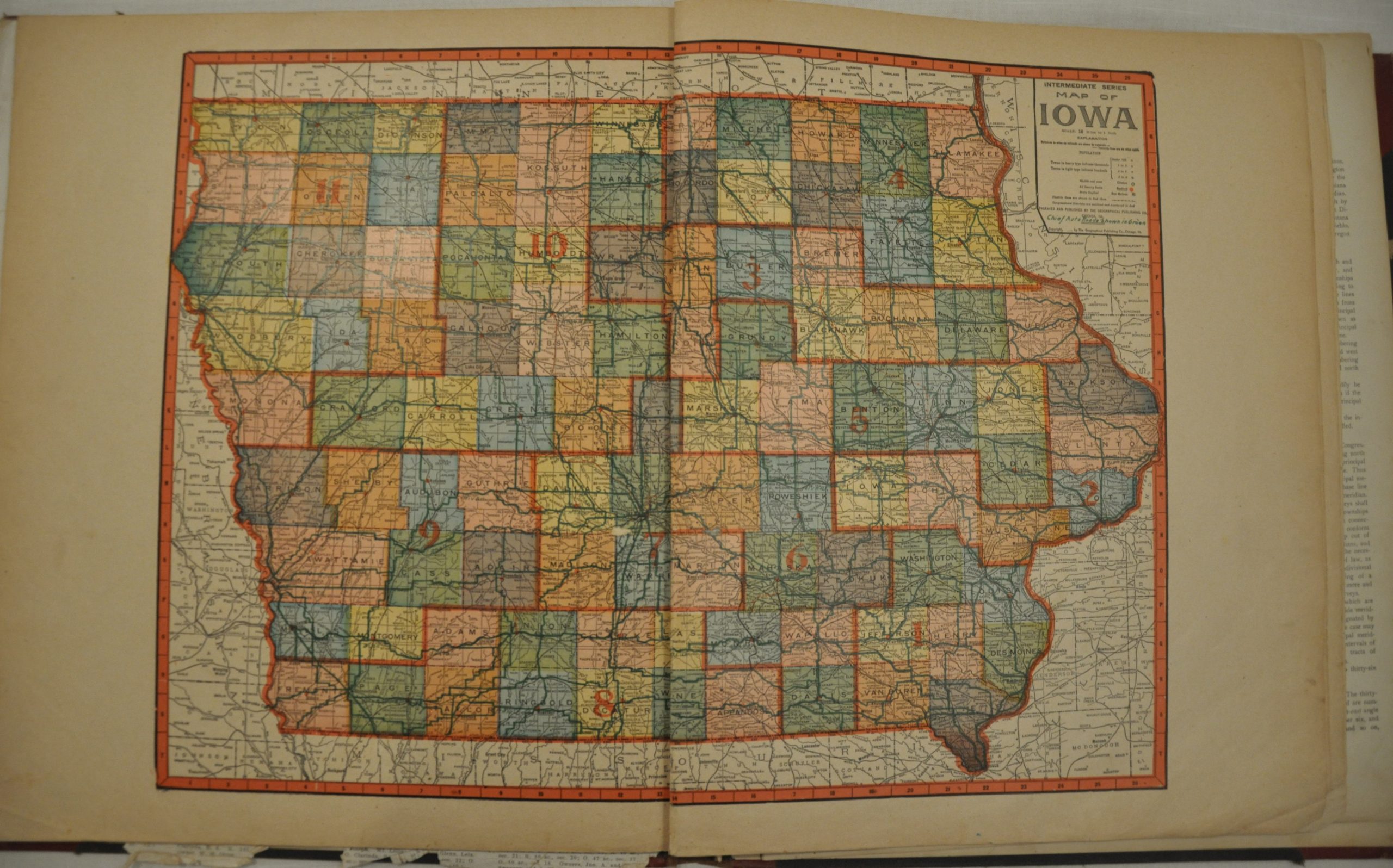
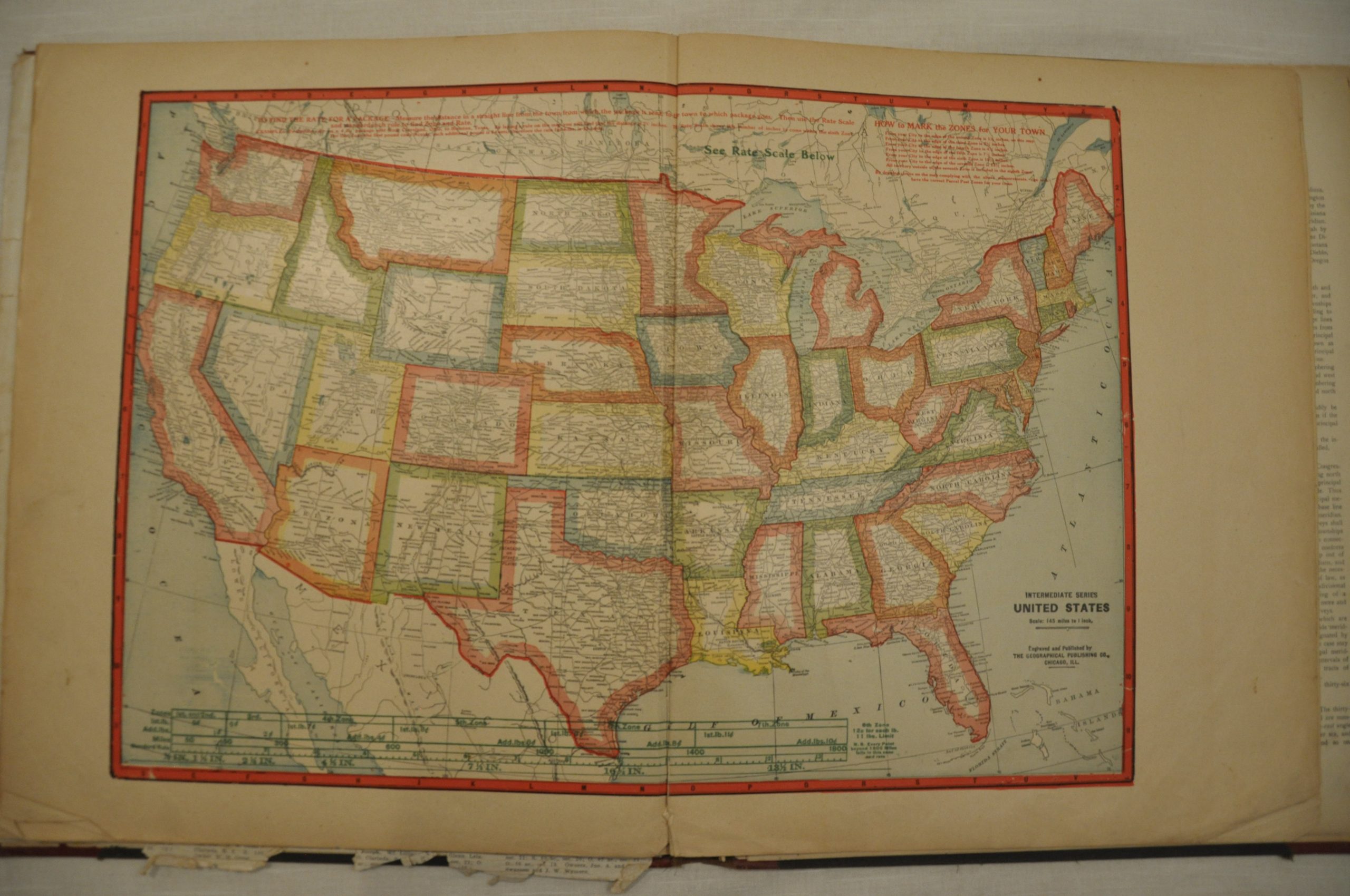
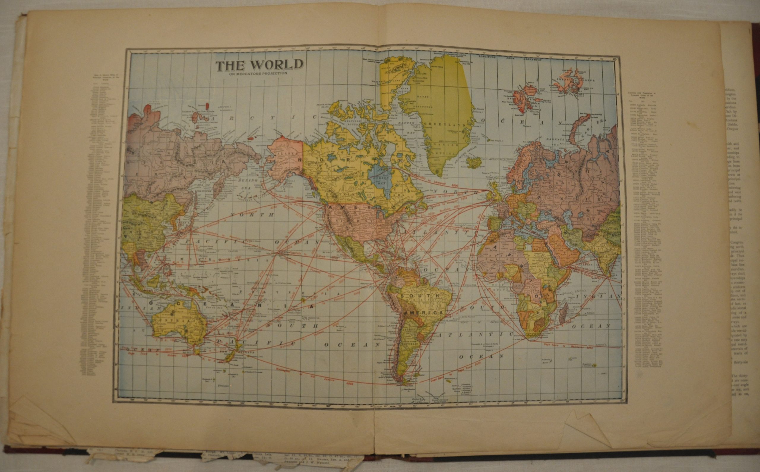
The atlas also includes double page lithographed maps of Iowa, the United States and the world; in addition to a profile view of the Panama Canal, which officially opened for traffic in 1914.
Map Details
Publication Date: 1920
Author: Anderson Publishing Co.
Sheet Width (in): 14.5
Sheet Height (in): 17.5
Condition: C
Condition Description: Complete. 55 pages including 20 lithographed maps (5 double page). The county outline map is tattered and the title page shows some foxing. Otherwise the maps are largely clean and intact, with the exception of normal wear and tear and some soiling confined largely to the margins. Original quarter leather covers are loose, but present, and show moderate wear and rubbing. Fair condition overall, given the state of the county sheet.
$125.00