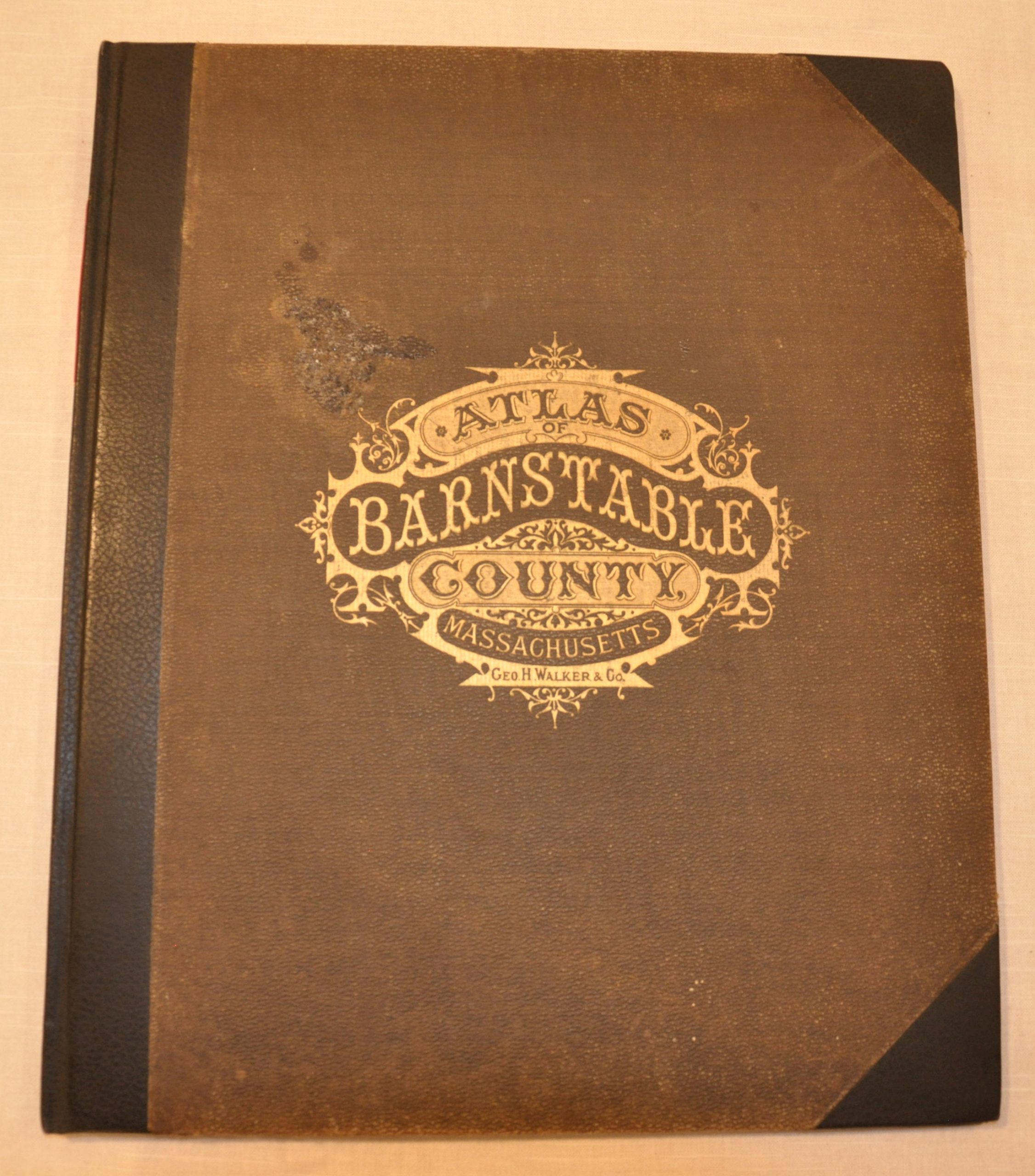
Atlas of Barnstable County, Massachusetts
Fascinating late 19th century atlases highlighting the charming fishing villages along Cape Cod.
Out of stock


Description
The opening of the American West led many farmers to abandon agricultural holdings on the east coast in search for cheaper and more arable land. Prior to 1860, Cape Cod was home to numerous farmers and sheepherders, but by the second half of the 19th century it was known for fishing/whaling and as a retreat for nearby city dwellers.
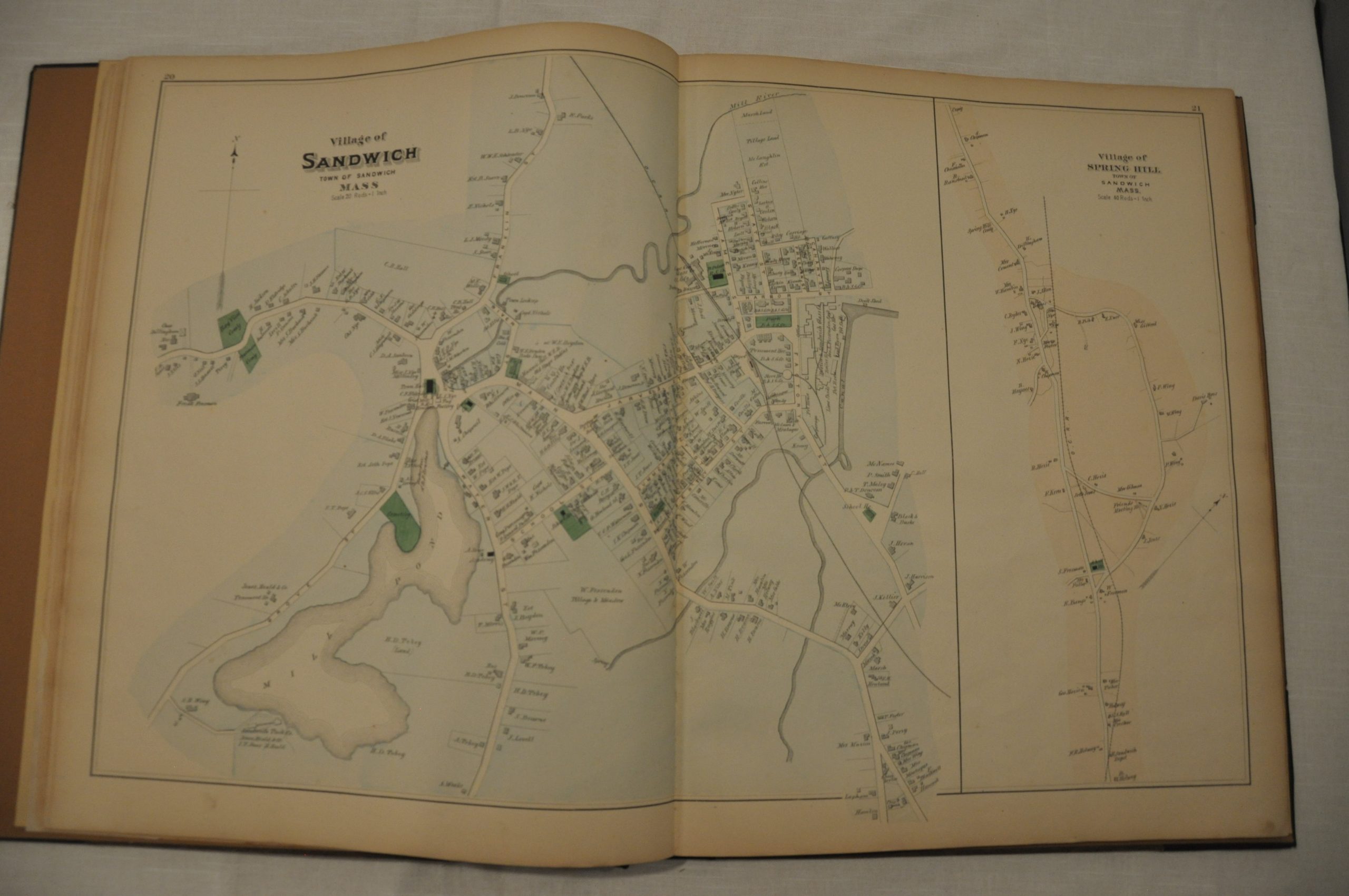
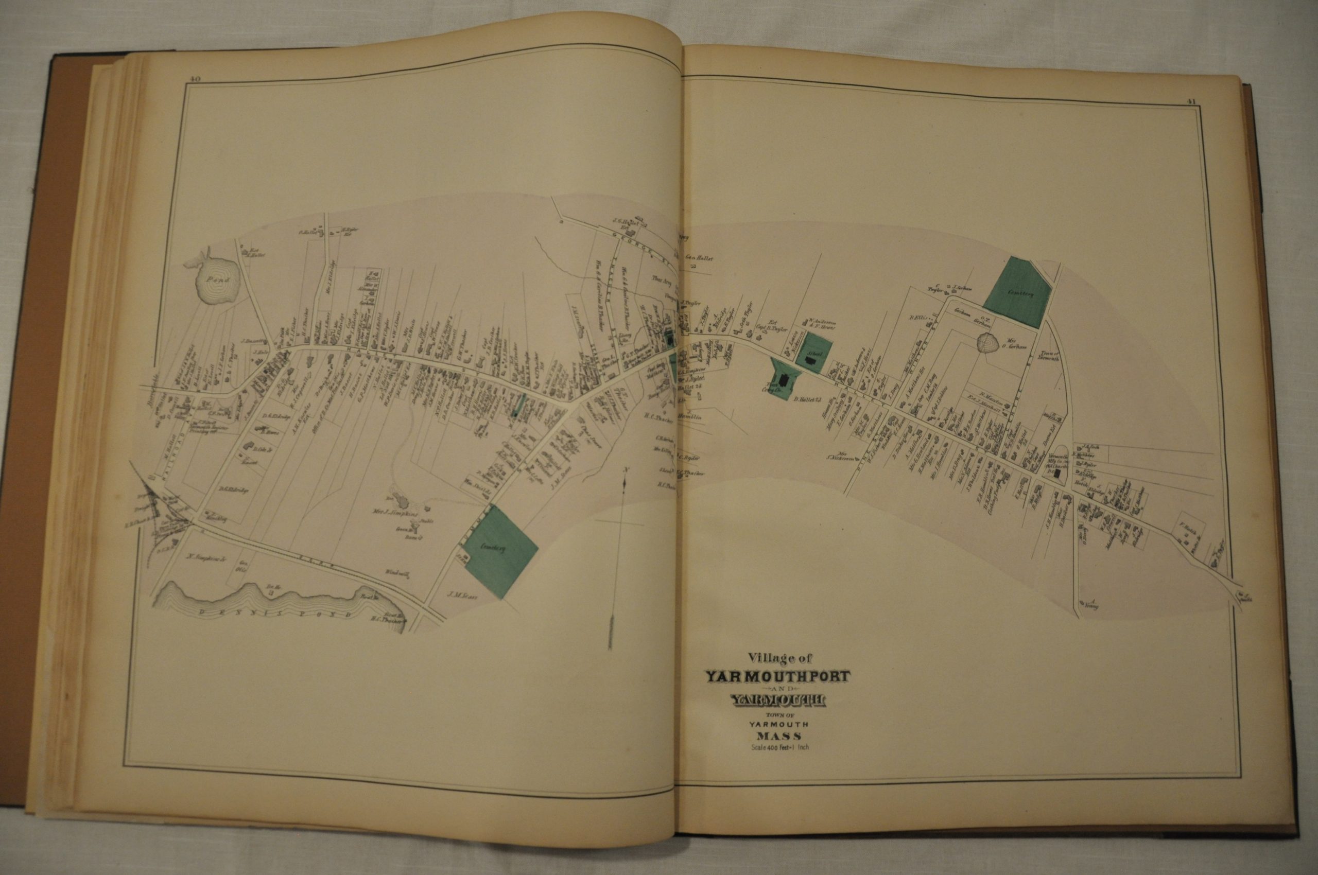
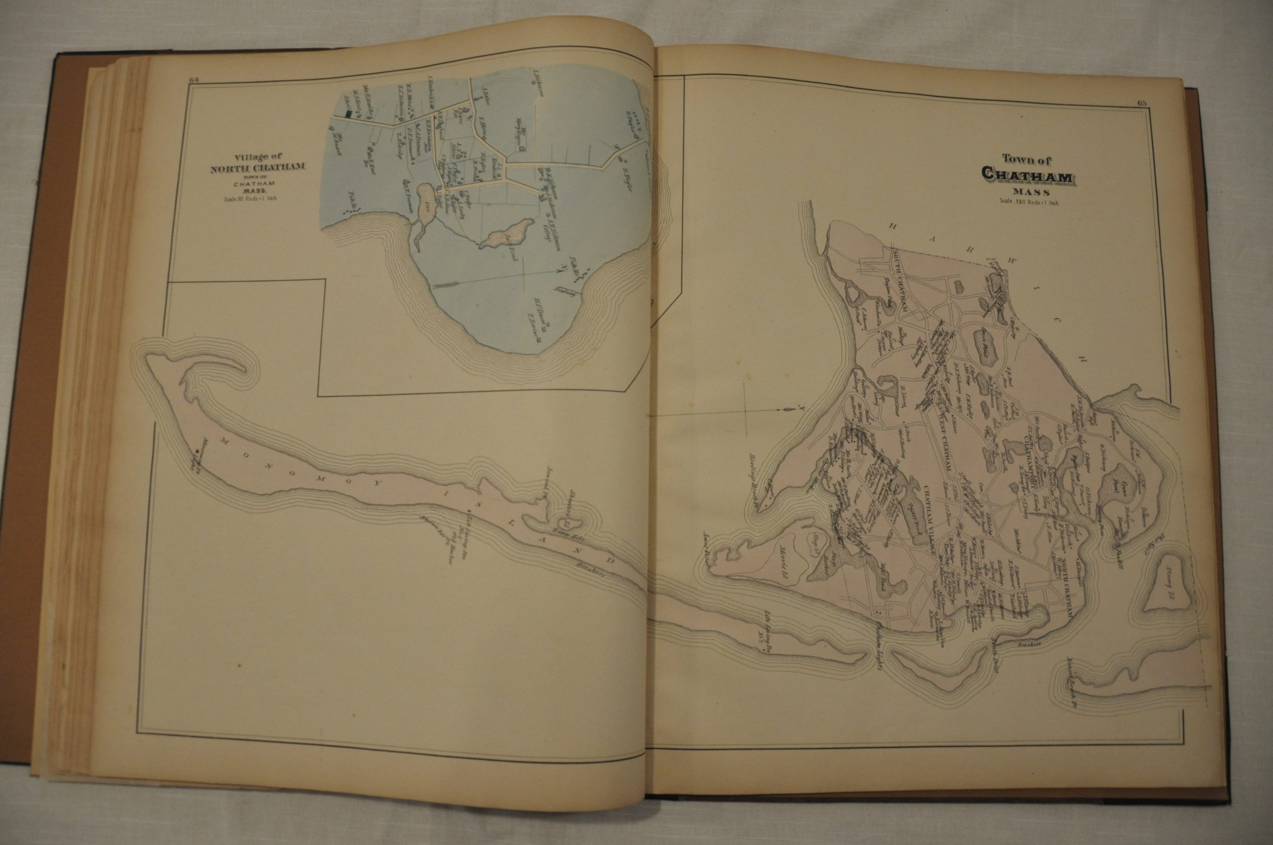
This atlas, published in 1880 by George H. Walker & Co. of Boston, offers an interesting snapshot of this formative period of Barnstable County. Single and double page maps show many of the quaint villages that dot the coastline. The scale of 30 rods to an inch allows for an incredible amount of detail; including names of individual landowners, important buildings, and local geographic features. Even so, some of the older towns like Chatham exhibit a density of residents that make legibility difficult in certain circumstances.
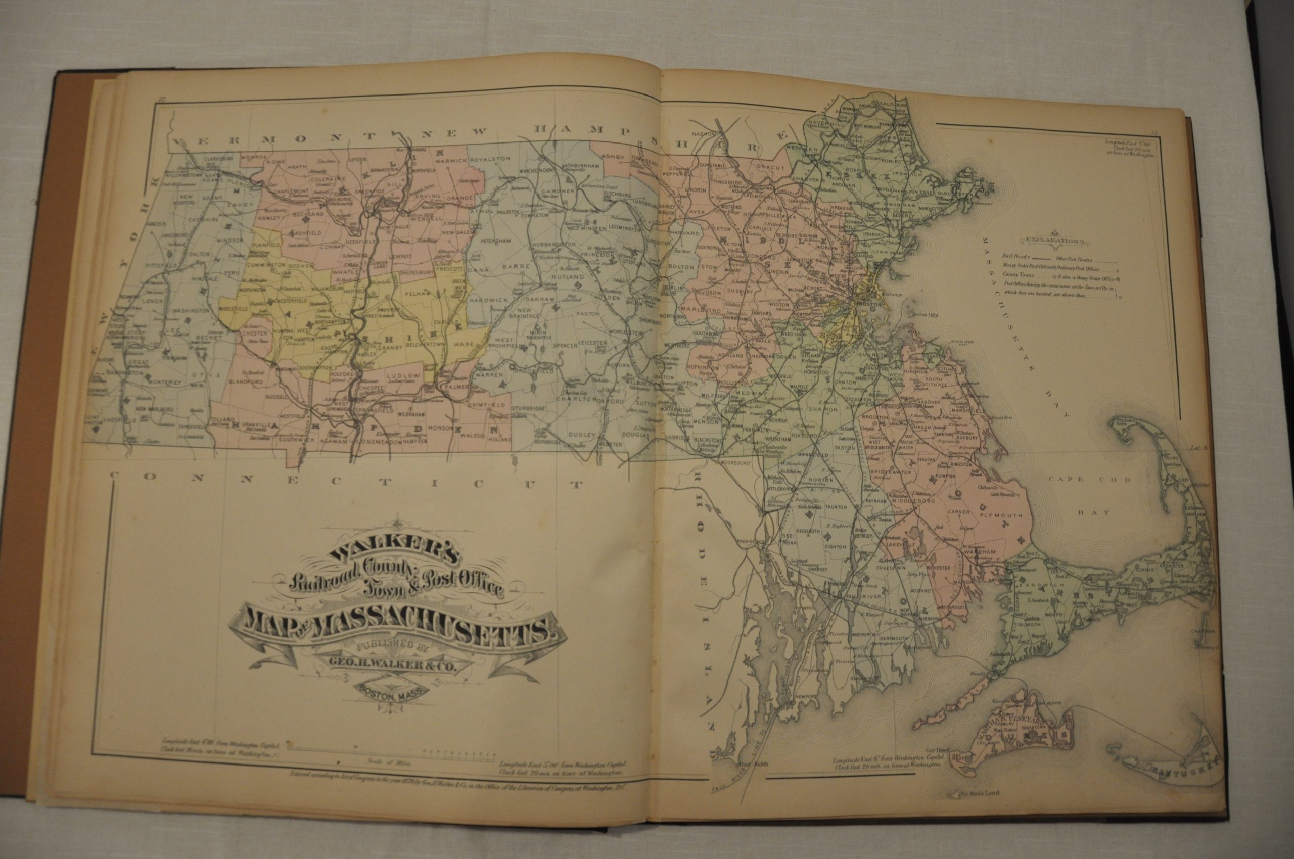
A county and state map show the progress of the railroad throughout Massachusetts, having been a late arrival to Provincetown at the northern tip of the Cape in 1873. The atlas concludes with a list of prominent manufacturers and merchants in Barnstable County, including an early advertisement for Swift meat packing.
Map Details
Publication Date: 1880
Author: George H. Walker & Co.
Sheet Width (in): 15
Sheet Height (in): 18
Condition: A-
Condition Description: The atlas has been professionally rebound in black gilt quarter leather, with original title page and front cover. Complete. 85 pages with 21 single page and 16 double page lithographed maps. Minor soiling on the title page, but otherwise the sheets are clean on a bold imprint with bright hand color.
Out of stock