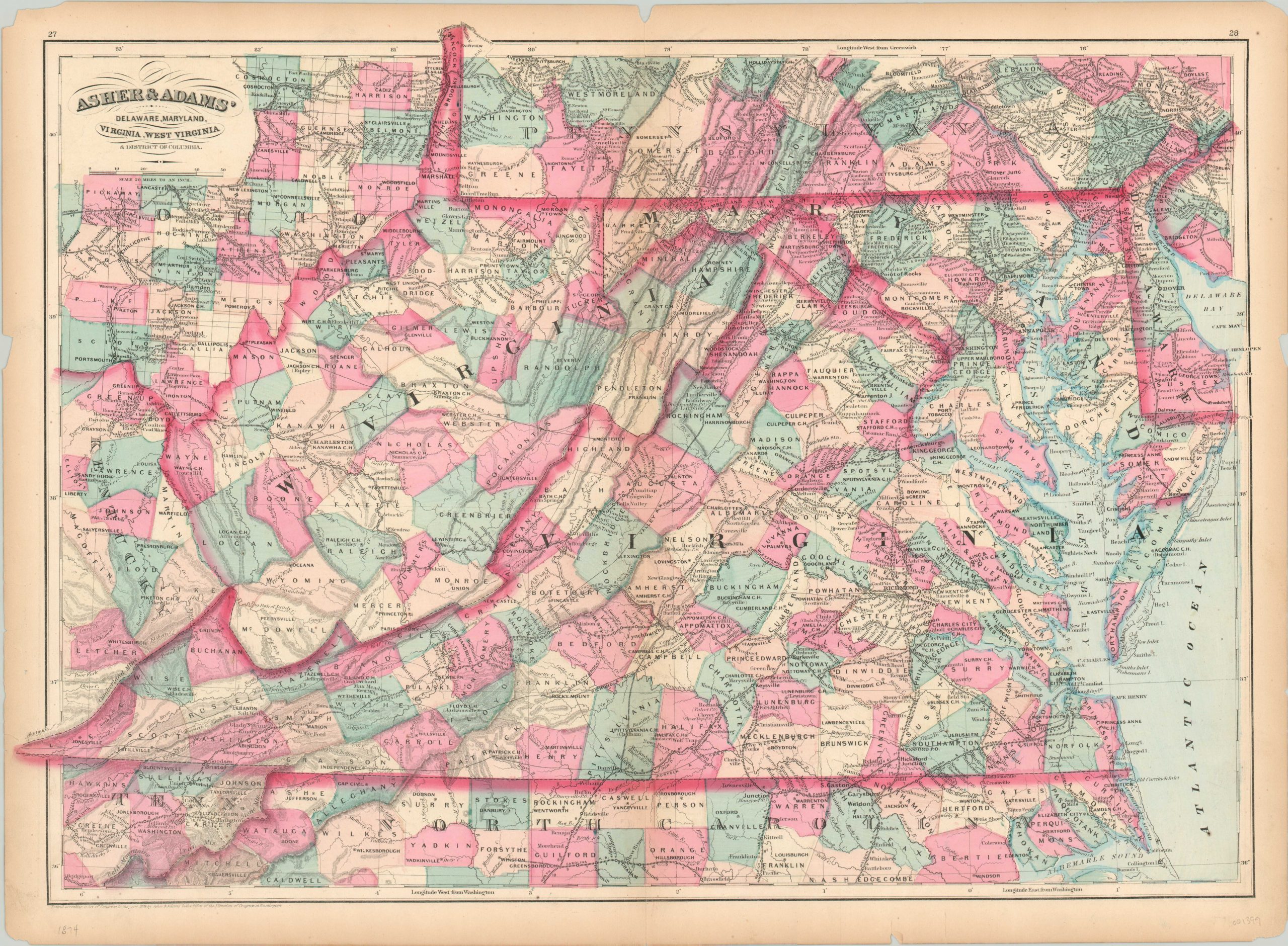
Asher & Adams’ Delaware, Maryland, Virginia, West Virginia & District of Columbia
$75.00
Reconstruction-era overview of several south Atlantic states published by Asher & Adams.
1 in stock
Description
This vibrant map covers the states of Delaware, Maryland, Virginia and West Virginia, and is centered on the Blue Ridge Mountains (a significant geographic factor in the earlier Civil War separation between the two). Simple topographic detail is depicted in hachure, yet still gives a strong impression of the rugged terrain in the rest of the Appalachians. The regions’ numerous railroads are also featured prominently within the image.
These iron rails were critical in moving troops during the war a decade earlier, but at the time of publication were more readily engaged in transporting coal, timber, and iron. Published in New York in 1884 as part of Asher & Adams’ New commercial, topographical, and statistical atlas. Original hand color.
Map Details
Publication Date: 1874
Author: Asher & Adams
Sheet Width (in): 24.00
Sheet Height (in): 17.50
Condition: B
Condition Description: Several small chips in the outer margins and three inches of separate along the centerfold (repaired on verso). The paper is somewhat brittle, but the image remains intact and vibrant. Good to very good condition overall, with fine original hand color.
$75.00
1 in stock

