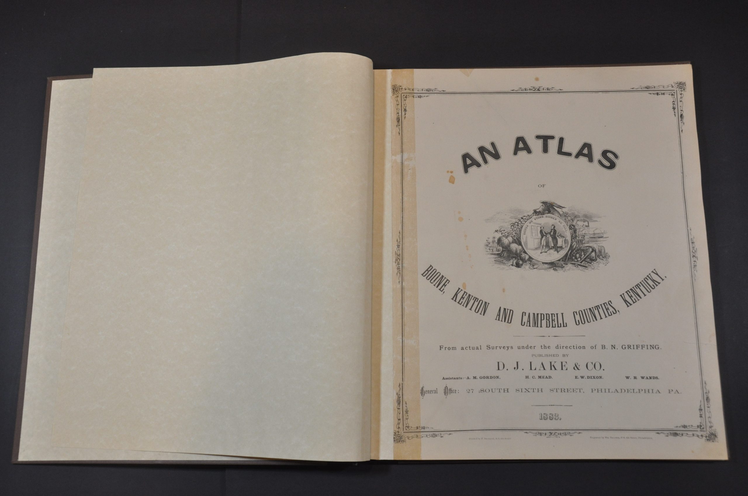
An Atlas of Boone, Kenton and Campbell Counties, Kentucky
Detailed atlas of three counties in northern Kentucky, just south of Cincinnati.
Out of stock


Description
This incredible atlas provides a thorough overview of Kentucky’s Boone, Kenton, and Campbell counties in the late 19th century. The area represented within is situated on the southern banks of the Ohio River and today constitutes a large portion of Cincinnati’s southern suburbs, including Covington, Newport, Bellevue, and Fort Thomas.
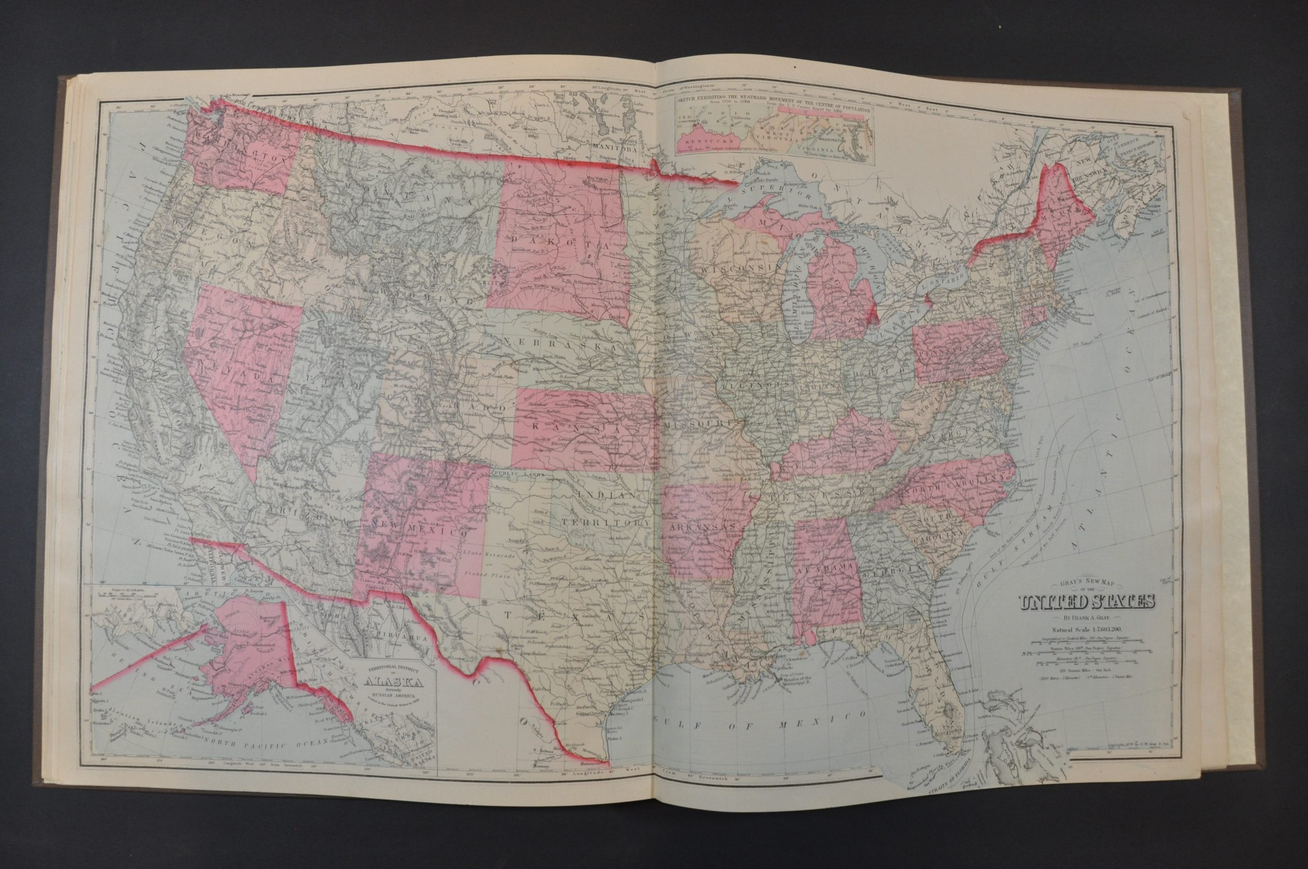
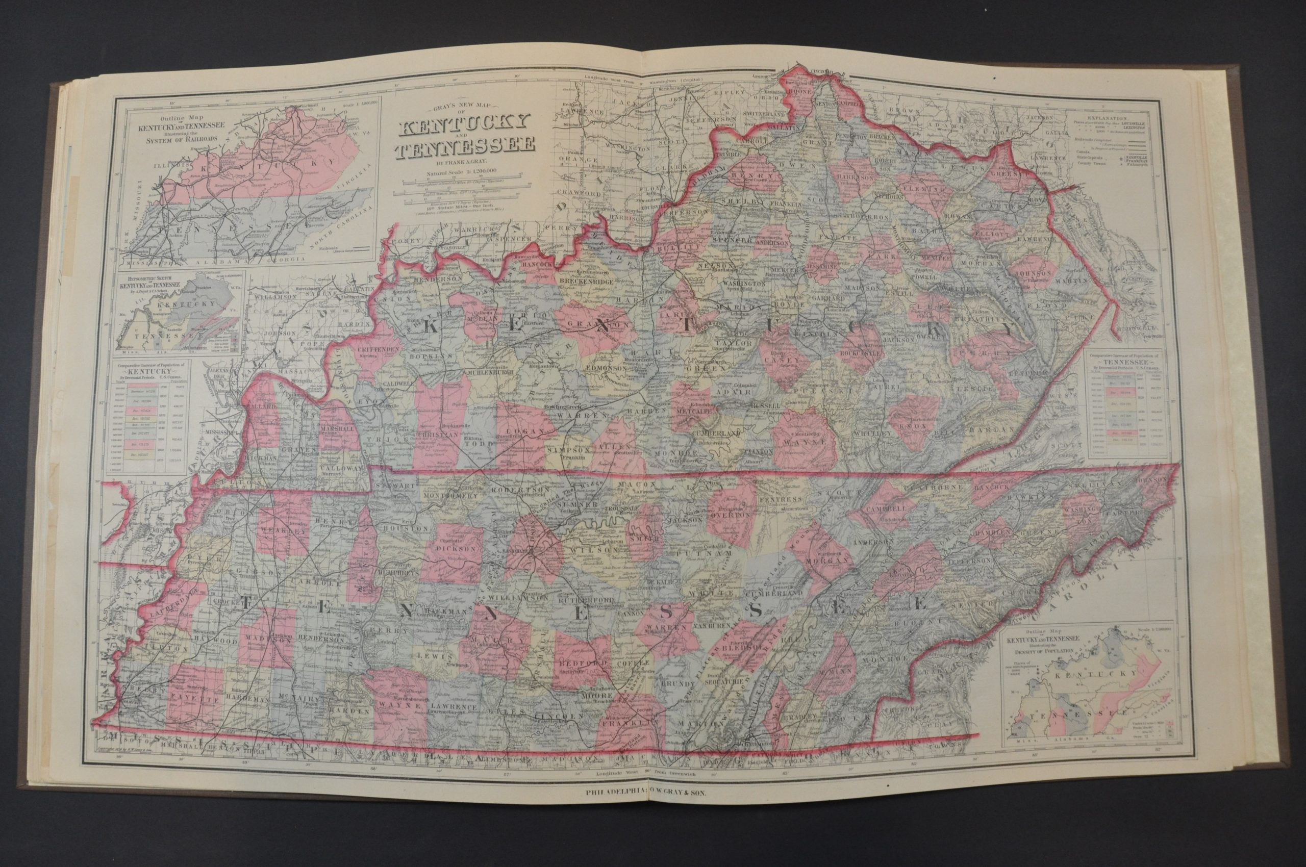
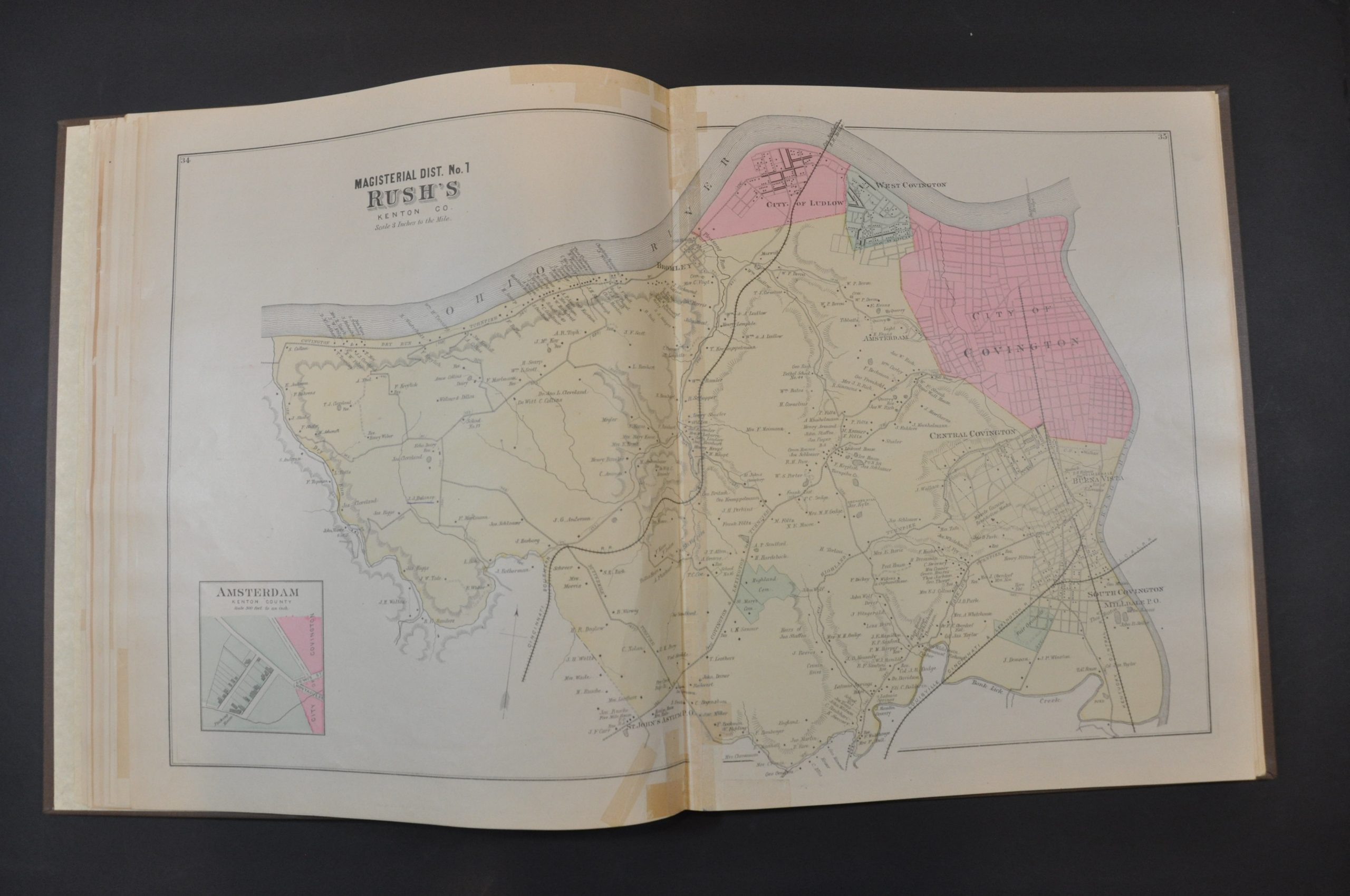
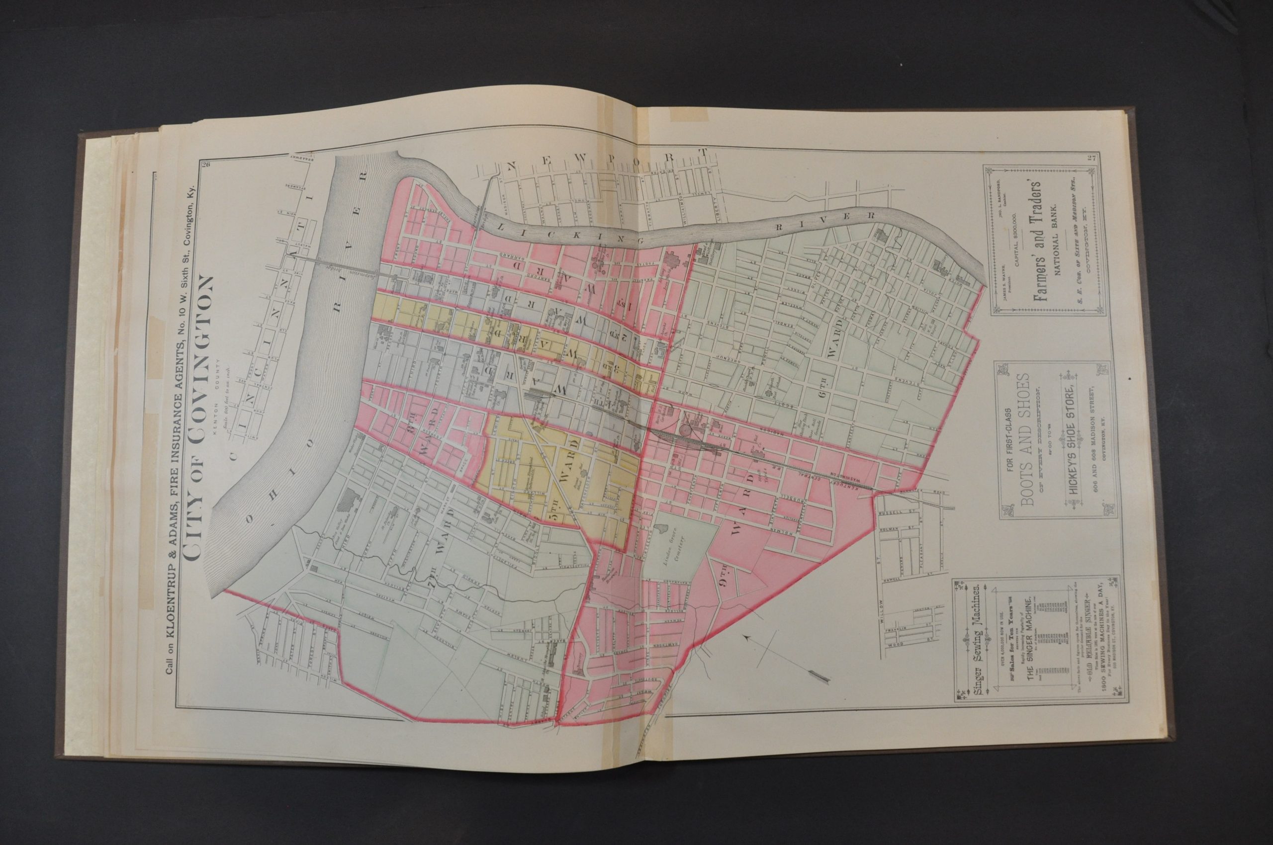
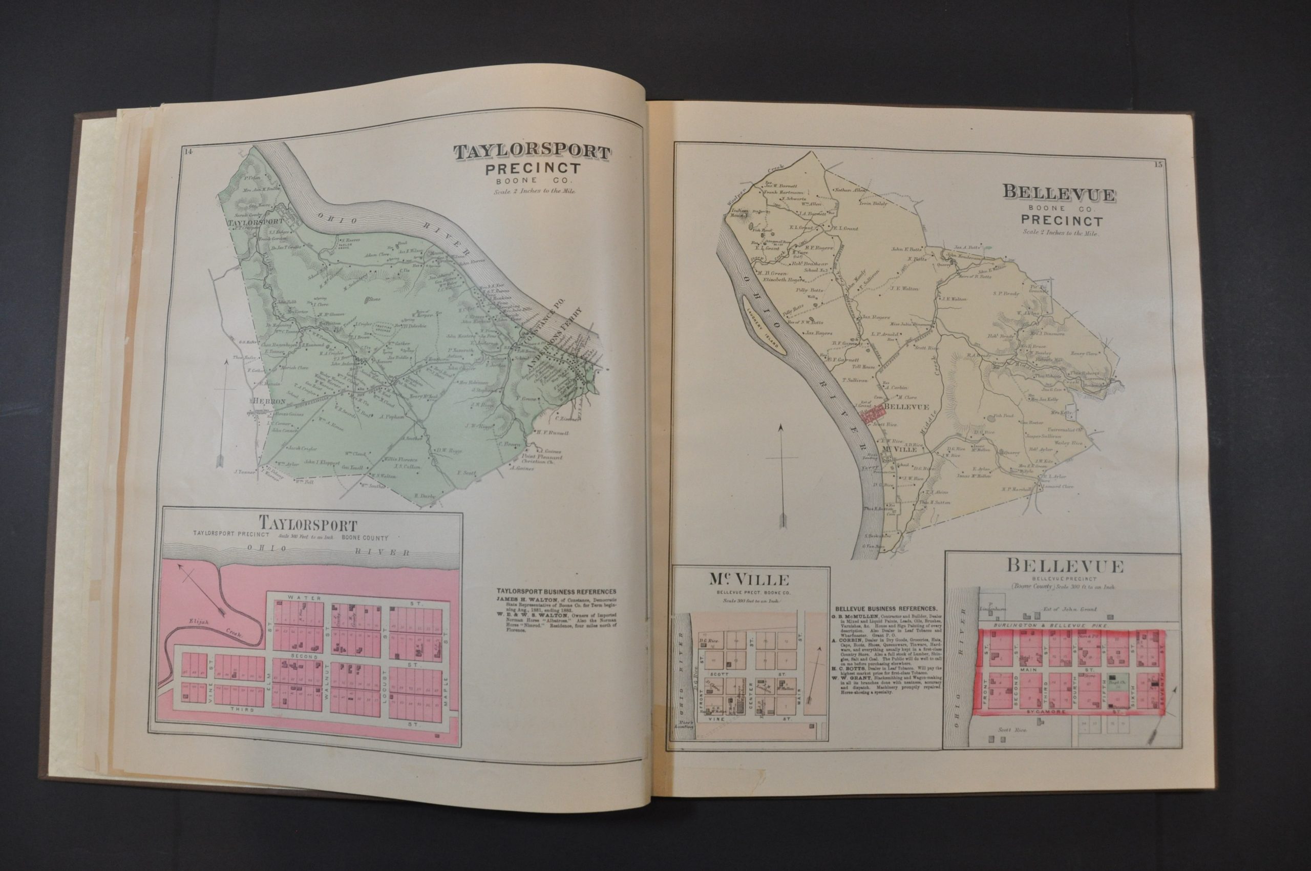
A double-page outline plan of the three counties shows each divided into precincts; with settlements, the transportation network, and prominent geographic features labeled. This is followed by 14 double-page and 22 single-page precinct maps and city plans. The majority of these provide information on land ownership, property divisions, public areas (parks, cemeteries, etc.), and important buildings. Also included are state maps of Kentucky and Tennessee, a map of America, and maps of the Eastern and Western Hemisphere (all by Frank Gray).
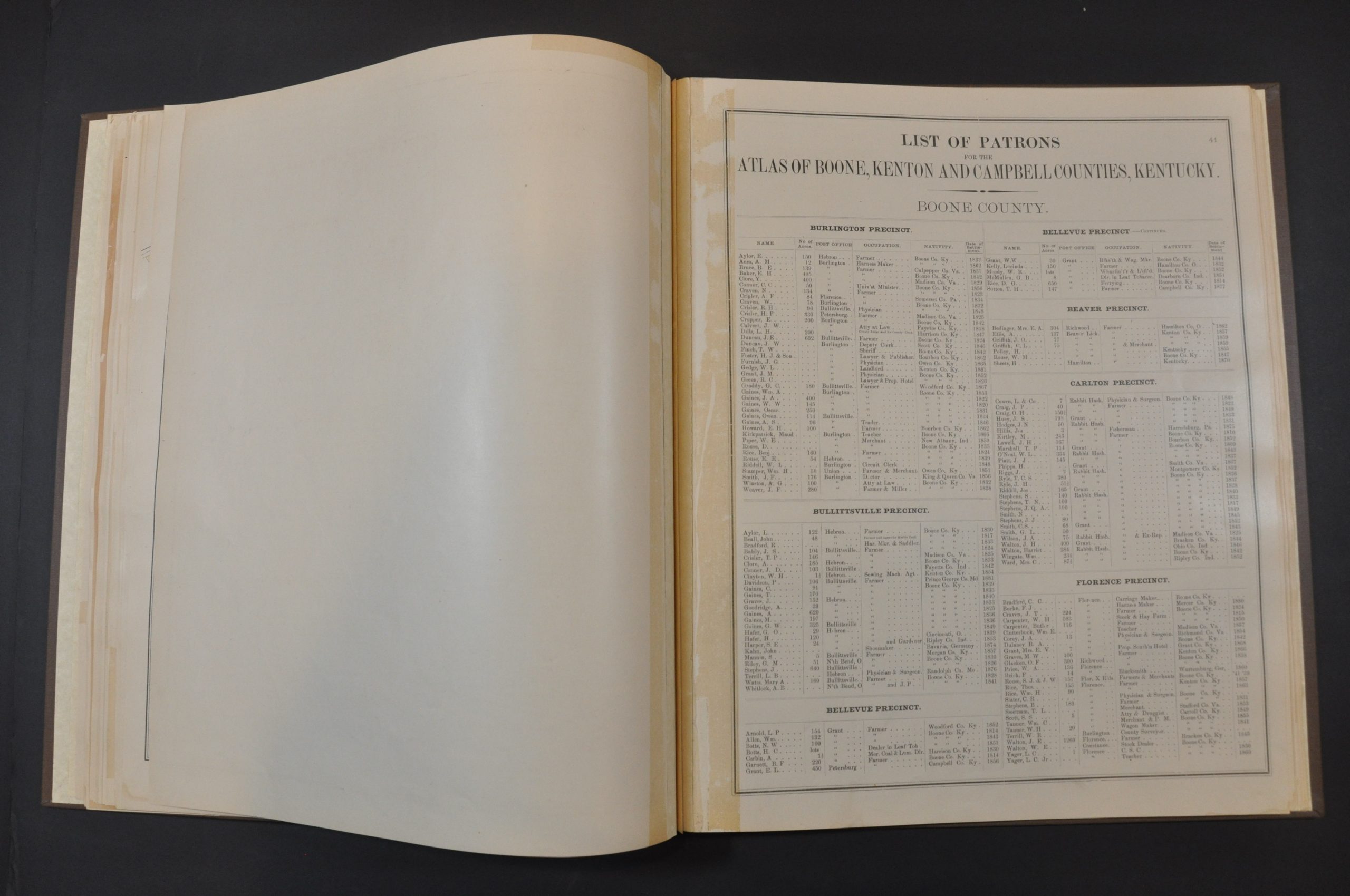
Numerous sheets include business directories and indexes of local patrons. This likely refers to the list of residents who ‘subscribed’ to the publication of the atlas by providing funds up-front to defray the costs. This was a common method of publishing county atlases in the late-19th century. For a set fee, subscribers were among the first to receive the finished work and often had the opportunity to pay extra for custom additions. As a result, many examples of county atlases include portraits of individual patrons, views of personal residences and businesses, and even images of prize farm animals!
The surveys for the maps were performed by B.N Griffing, with engraving performed by William Bracher. Printed by F. Bourquin and published in Philadelphia in 1883 by D.J. Lake & Co.
Map Details
Publication Date: 1883
Author: B.N. Griffing
Sheet Width (in): 14.5
Sheet Height (in): 17
Condition: B+
Condition Description: The atlas has been professionally restored and rebound in quarter black leather with brown cloth. The original gilt brown cloth has been applied to the front cover. New endpapers. Appears to be missing the table of contents, but otherwise the maps have been collated and are complete. 80 pages in total, including 15 double-page maps and 22 single page maps and city plans. Contents are generally good to very good, with scattered toning and soiling visible on several of the sheets. A few old tape repairs, , scattered damp stains, marginal tears, and spots of soiling can be seen here and there on several pages. Others show large areas of offsetting from the printed color. Heavy soiling on the verso in a few cases does not dramatically affect the image. Good to very good condition overall.
Out of stock