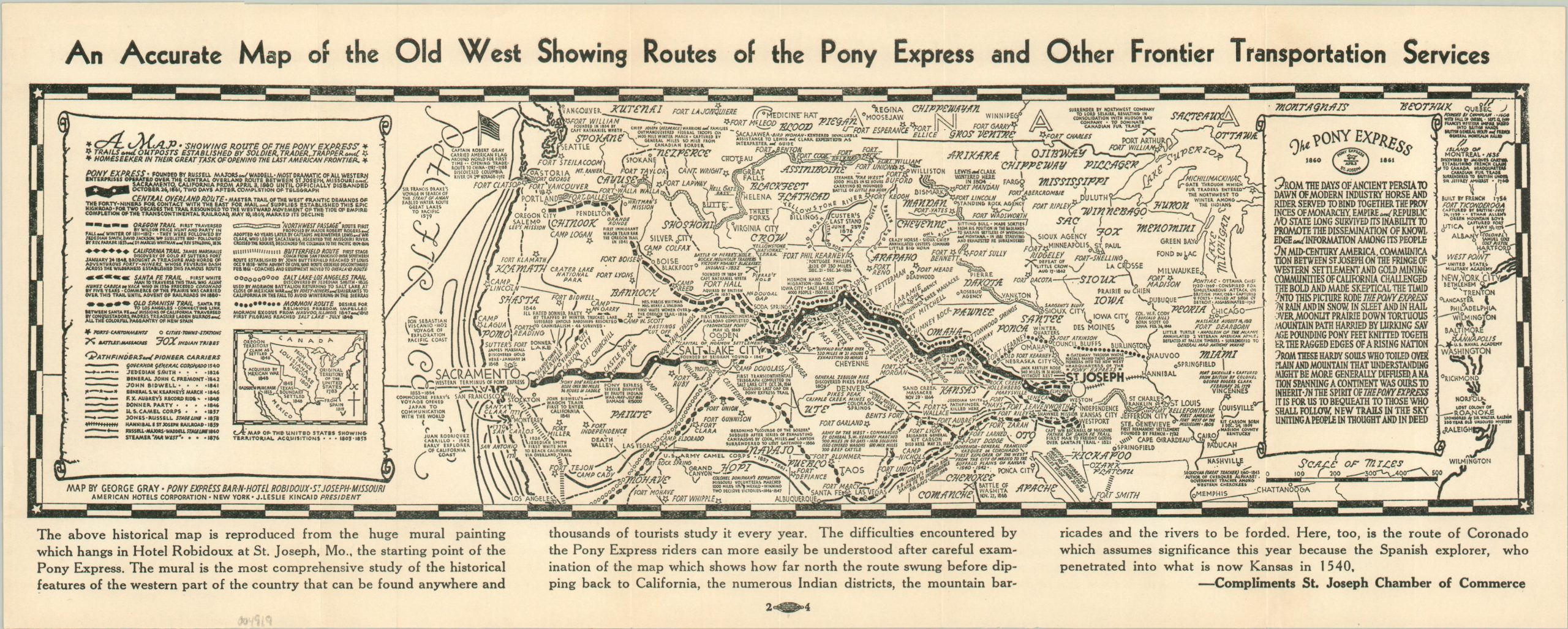
An Accurate Map of the Old West Showing Routes of the Pony Express and Other Frontier Transportation Services
$150.00
Commemorating the 80th Anniversary of the Pony Express.
1 in stock
Description
“From the days of ancient Persia to dawn of modern industry, horse and rider served to bind together the provinces of monarchy, empire, and republic.”
Though it was only in operation for a period of 18 months between 1860 and 1861, the Pony Express retains an oversized role in the development of the American West. Its hard-riding messengers could carry post over the 1,800-mile route from St. Joseph, Missouri to Sacramento, California in just ten days! The completion of a telegraph line, and later, the railroad, ultimately made the service obsolete.
This uncommon map, made by George Gray, is a reduced reproduction of a gigantic mural formerly at the Hotel Robidoux in St. Joseph. The informational image is packed with text about the history of the Pony Express and the West. Battlegrounds, historic sites, and other locations of interest are labeled throughout. Various routes of explorers, mountain men, and military expeditions are noted in the legend on the left side of the page.
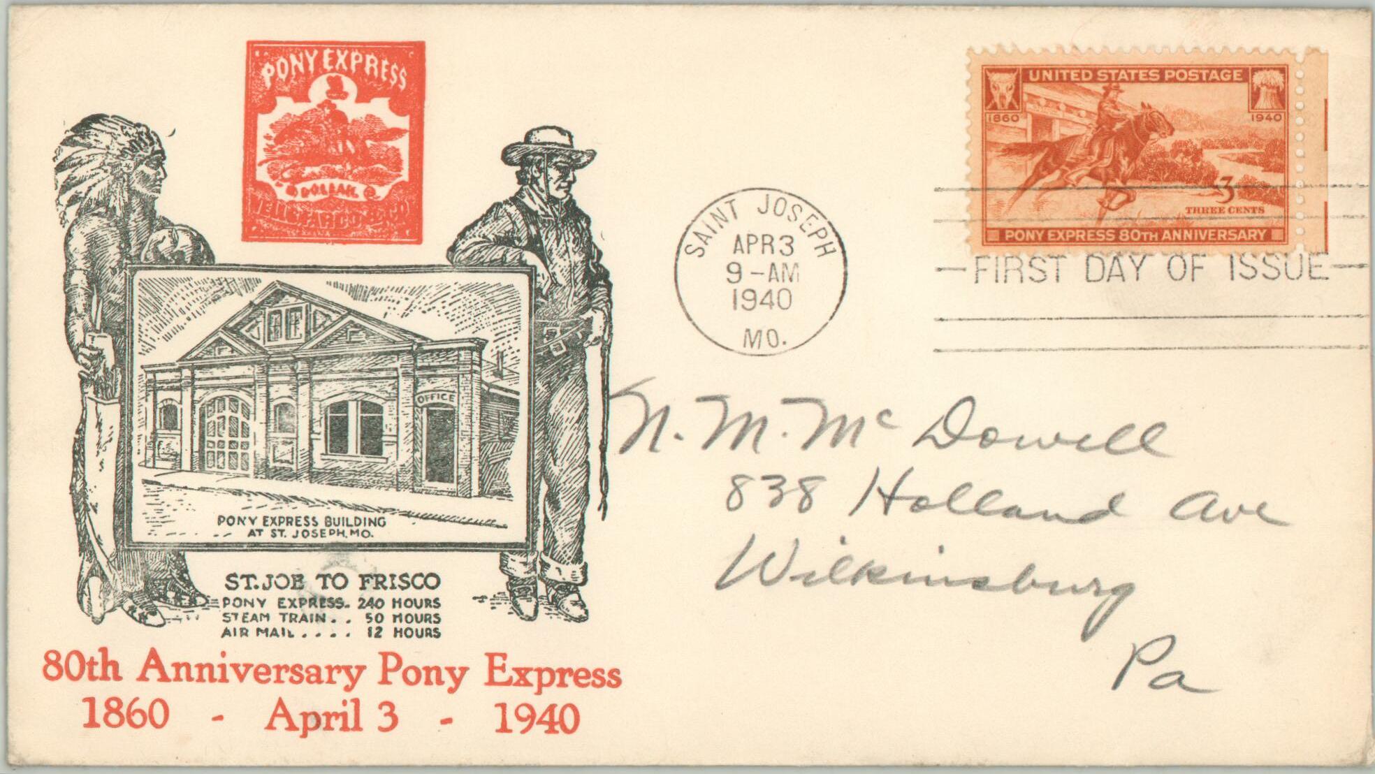
The map was distributed compliments of the St. Joseph Chamber of Commerce in 1940 to accompany the First Day of Issue stamp commemorating the 80th Anniversary of the Pony Express. Blank on verso. Includes original mailing envelope addressed to an individual in Wilkinsburg, PA.
Map Details
Publication Date: 1940
Author: George Gray
Sheet Width (in): 15.9
Sheet Height (in): 6.25
Condition: A
Condition Description: Creased along originally issued fold lines, but otherwise in near fine condition. Includes original first-day mailing envelope.
$150.00
1 in stock


