
Adirondack Forest and Adjoining Territory
$395.00
1 in stock


Description
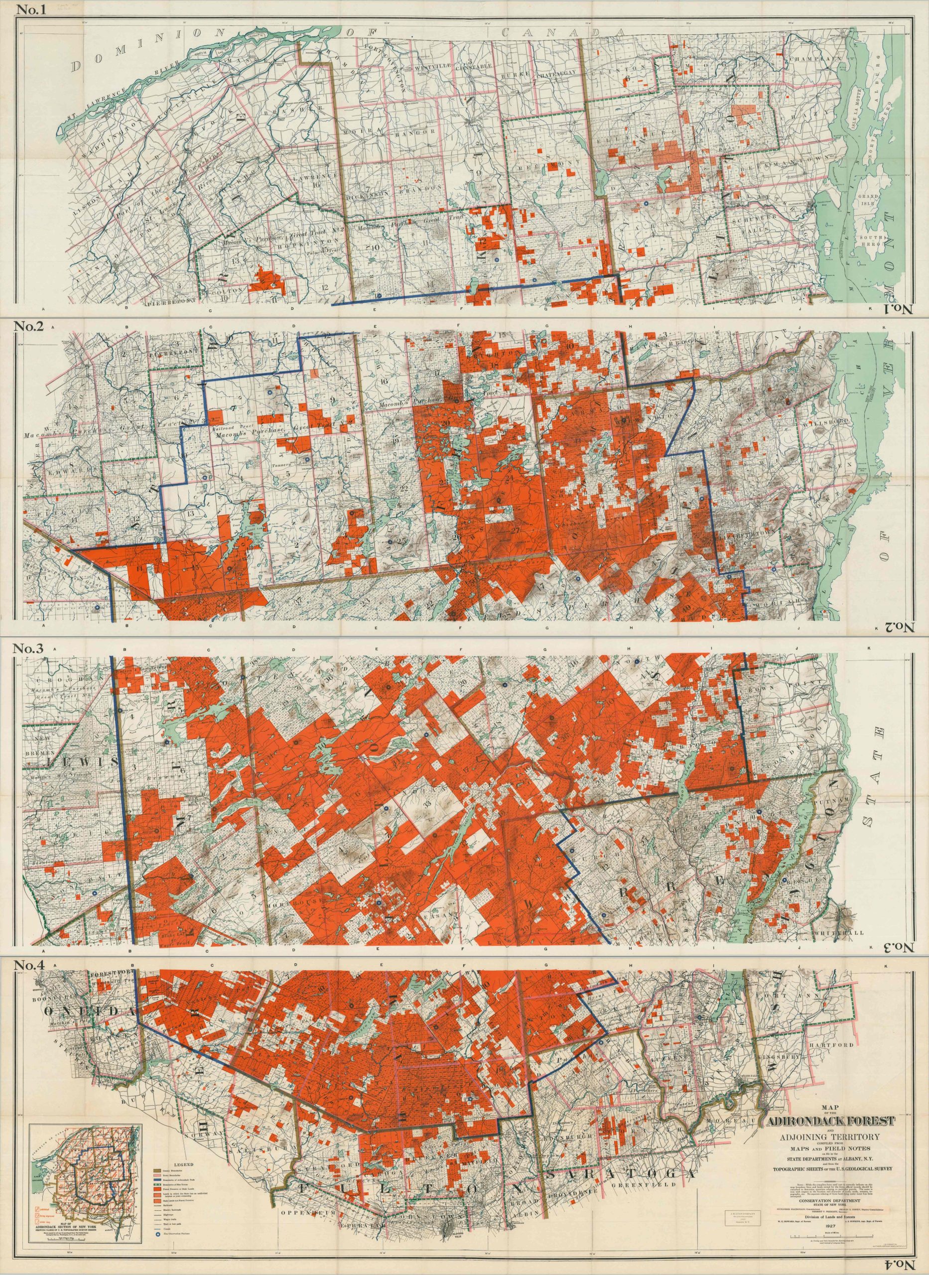
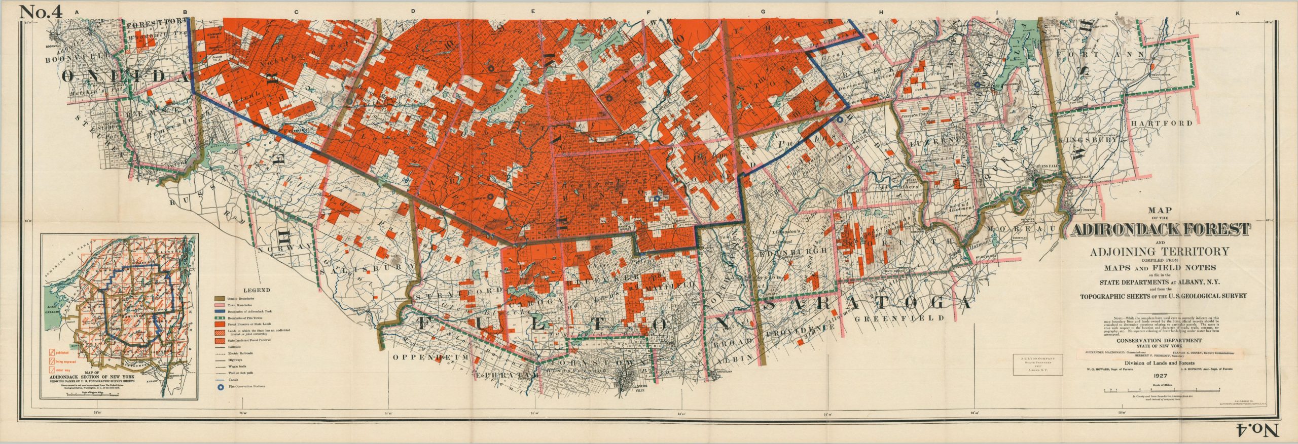
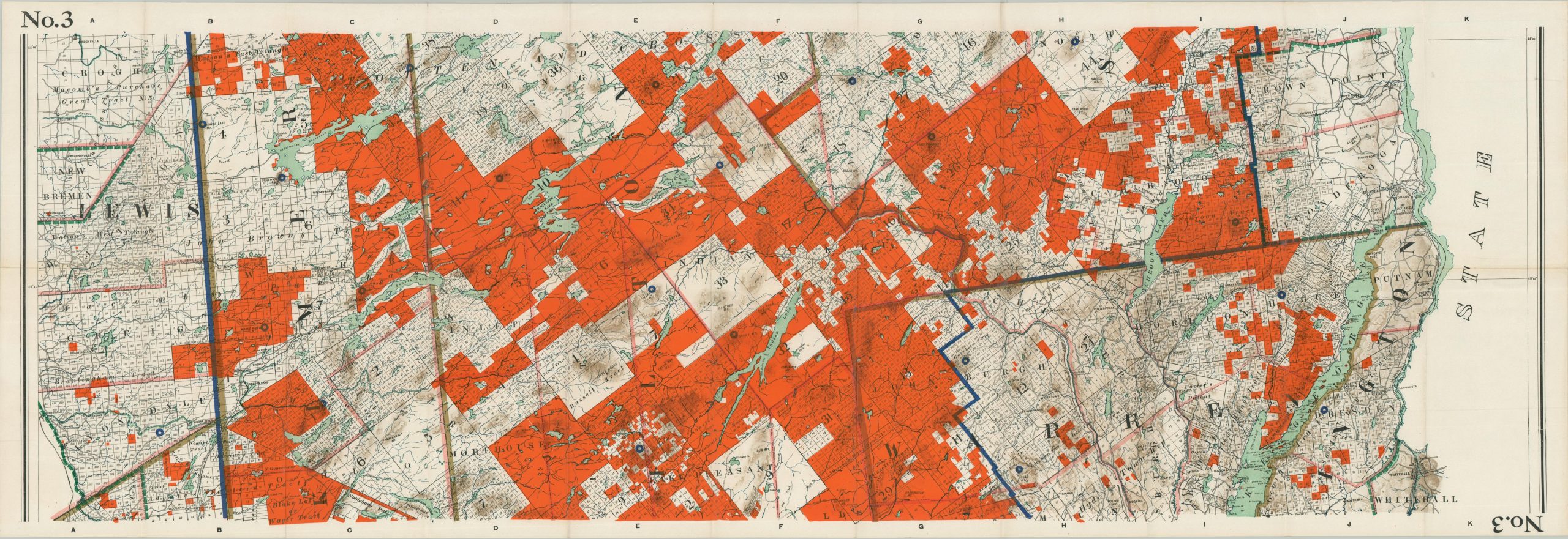
This immaculately detailed four-sheet map of New York’s Adirondack Forest was published in 1927 by the State’s Conservation Department, under the authority of Commissioner Alexander Macdonald. Printing was performed by the state printers of J.B. Lyon Company in Albany.
The large-scale image highlights the extensive forest preserves and state lands in bright orange (over half the area is privately owned) within the boundaries of the park (dark blue). Local transportation routes include electric and steam railroads, highways, wagon trails, and hiking paths. A fascinating variety of features are labeled, including notable landmarks, specific property owners, mountain peaks, tourist amenities, and fire observation stations (blue dots).
Map Details
Publication Date: 1927
Author: New York State Conservation Department - Division of Lands and Forests
Sheet Width (in): See Description
Sheet Height (in): See Description
Condition: A-
Condition Description: Complete set of four vibrantly colored lithographed maps, each creased along original folds, which also show some faint toning, consistent with age. Each sheet measures approximately 55" x 19", including margins. Blank on verso, with a pasteodown below the title block on Sheet No. 4. Very good condition overall.
$395.00
1 in stock