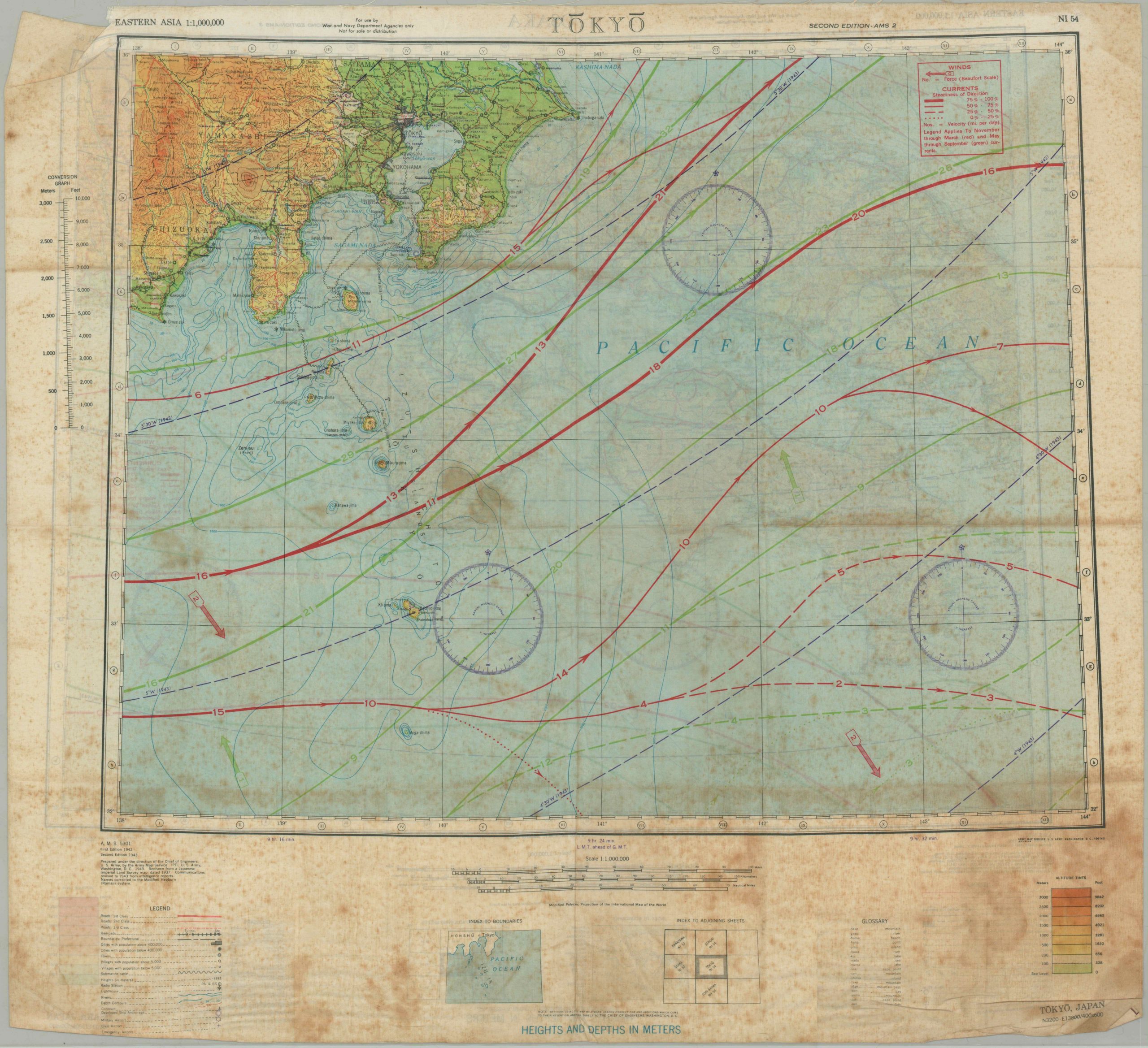
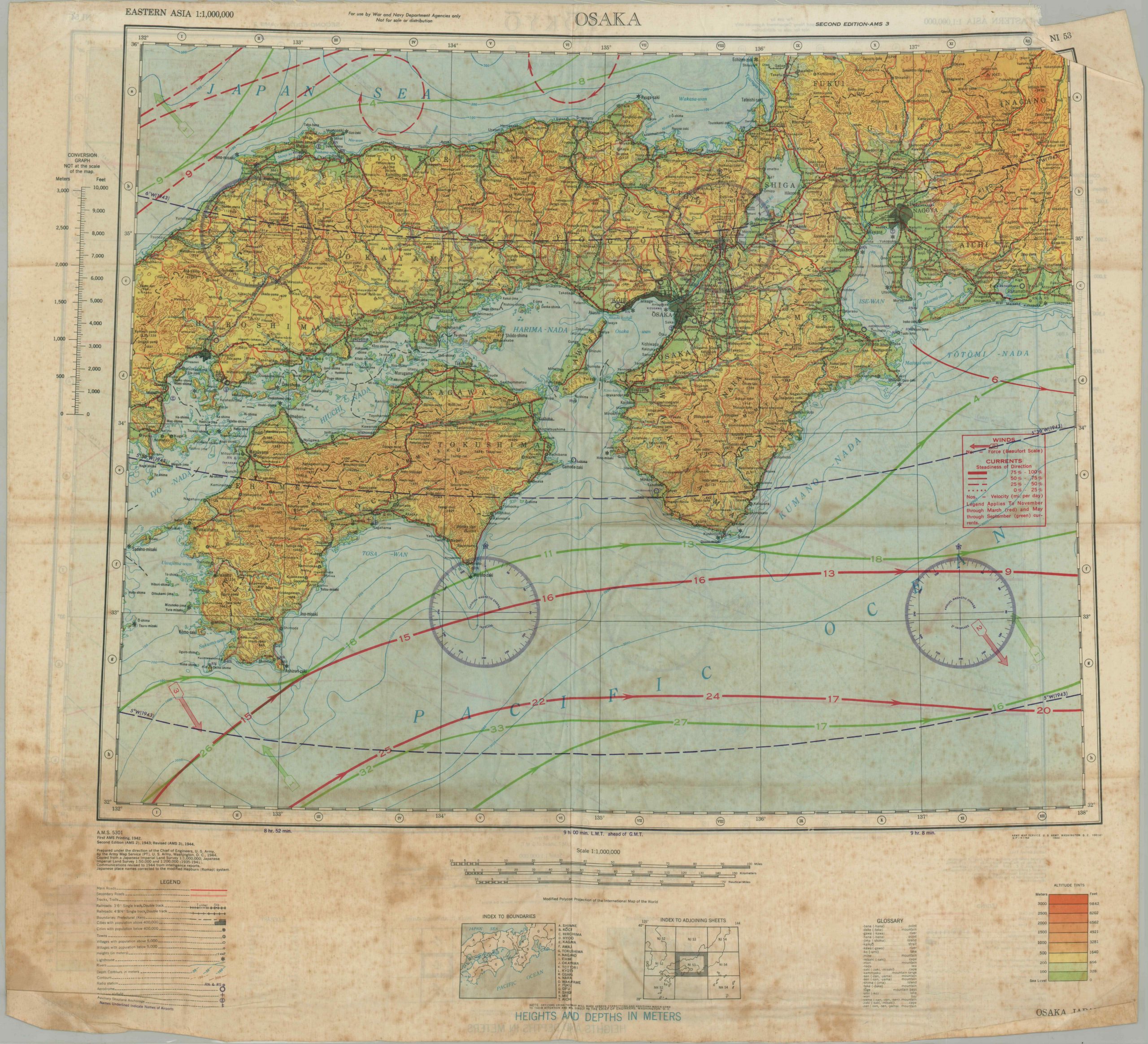
AAF Cloth Chart – Tokyo [and] Osaka
$145.00
Evasion map of Japanese urban centers issued shortly after the terrible firebombing of Tokyo.
1 in stock
Description
This fascinating relic from the Second World War shows detailed information on the Japanese islands around the urban centers of Osaka and Tokyo. The map, printed on silk, was designed to be distributed to pilots operating in the region in order aid their escape, should they be shot down over water or hostile territory.
This particular example is notable for it’s date of 4/45 – issued less than a month after a devastating firebombing attack that saw over 300 planes drop their payloads across the city. Raids would continue until the Japanese surrender in August. A glossary of geographic terms, information on coastal currents, color topography, and details on the local transportation networks are just a few examples of the useful data provided by the map’s image.
More information on these silk evasion maps can be found on my blog post here.
Map Details
Publication Date: 1945
Author: Army Map Service
Sheet Width (in): 26
Sheet Height (in): 23.5
Condition: C
Condition Description: Heavily soiled and creased throughout, with one tear in the upper right corner.
$145.00
1 in stock


