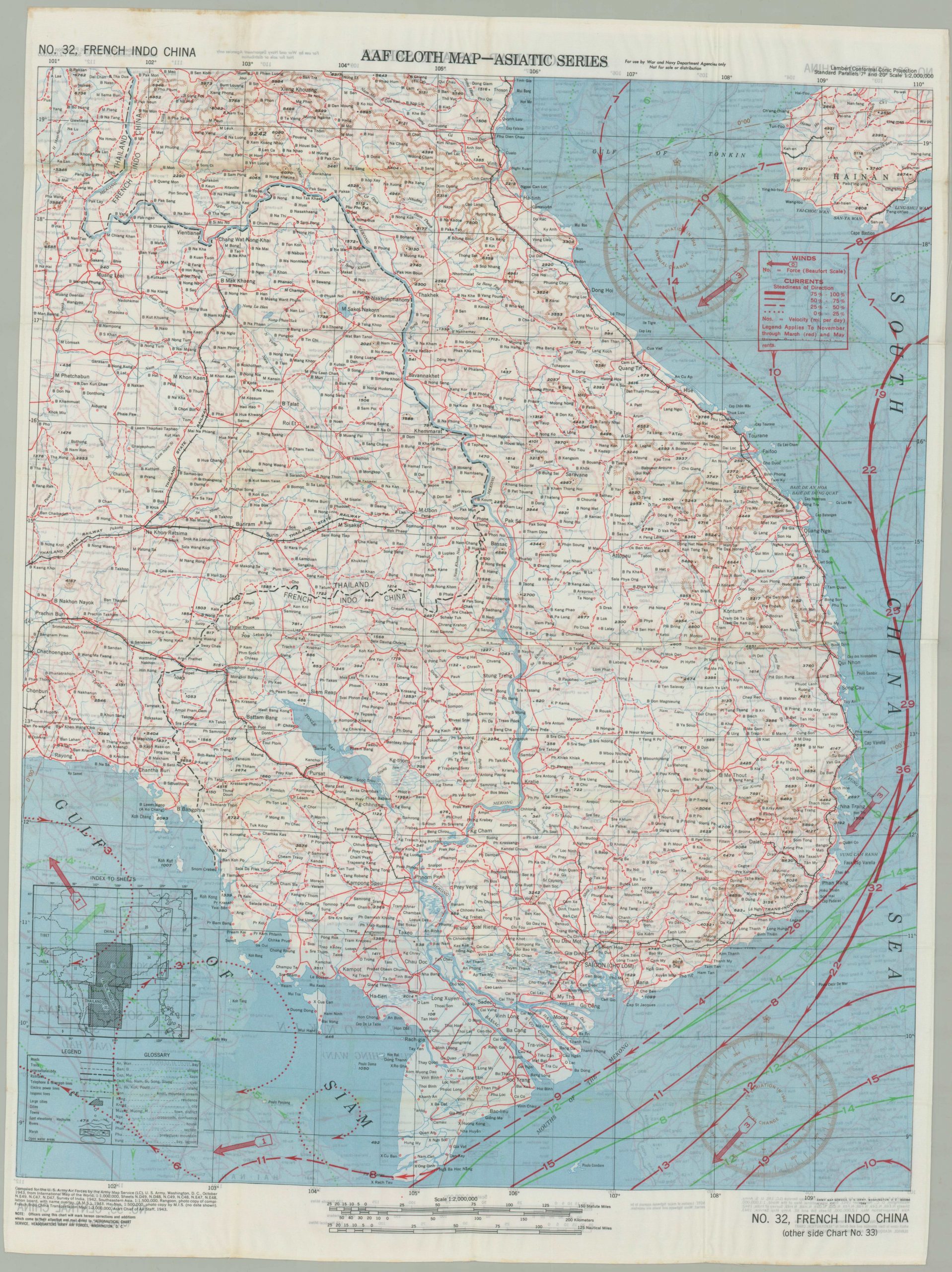
AAF Cloth Chart – Asiatic Series No. 32, French Indo China [and] No-33 Central China
$50.00
Double sided evasion map issued for pilots during WWII.
1 in stock
Description
This fascinating relic from the Second World War shows detailed information on the center of mainland China as well as French Indo-China (modern day Vietnam, Cambodia, and Laos). The map, printed on silk, was designed to be distributed to pilots operating in the region in order aid their escape, should they be shot down over water or hostile territory.
A glossary of geographic terms, information on coastal currents, and details on the local transportation networks are just a few examples of the useful data provided by the map’s image.
More information on these silk evasion maps can be found on my blog post here.
Map Details
Publication Date: 1945
Author: Army Map Service
Sheet Width (in): 20
Sheet Height (in): 26.7
Condition: A
Condition Description: Creasing throughout, but otherwise in near fine condition.
$50.00
1 in stock


