A New Map of the Province of Lower Canada Describing all the Seigneuries, Townships, Grants of Land, &c.
$700.00
Detailed map of the British colony of Lower Canada.
1 in stock

Description
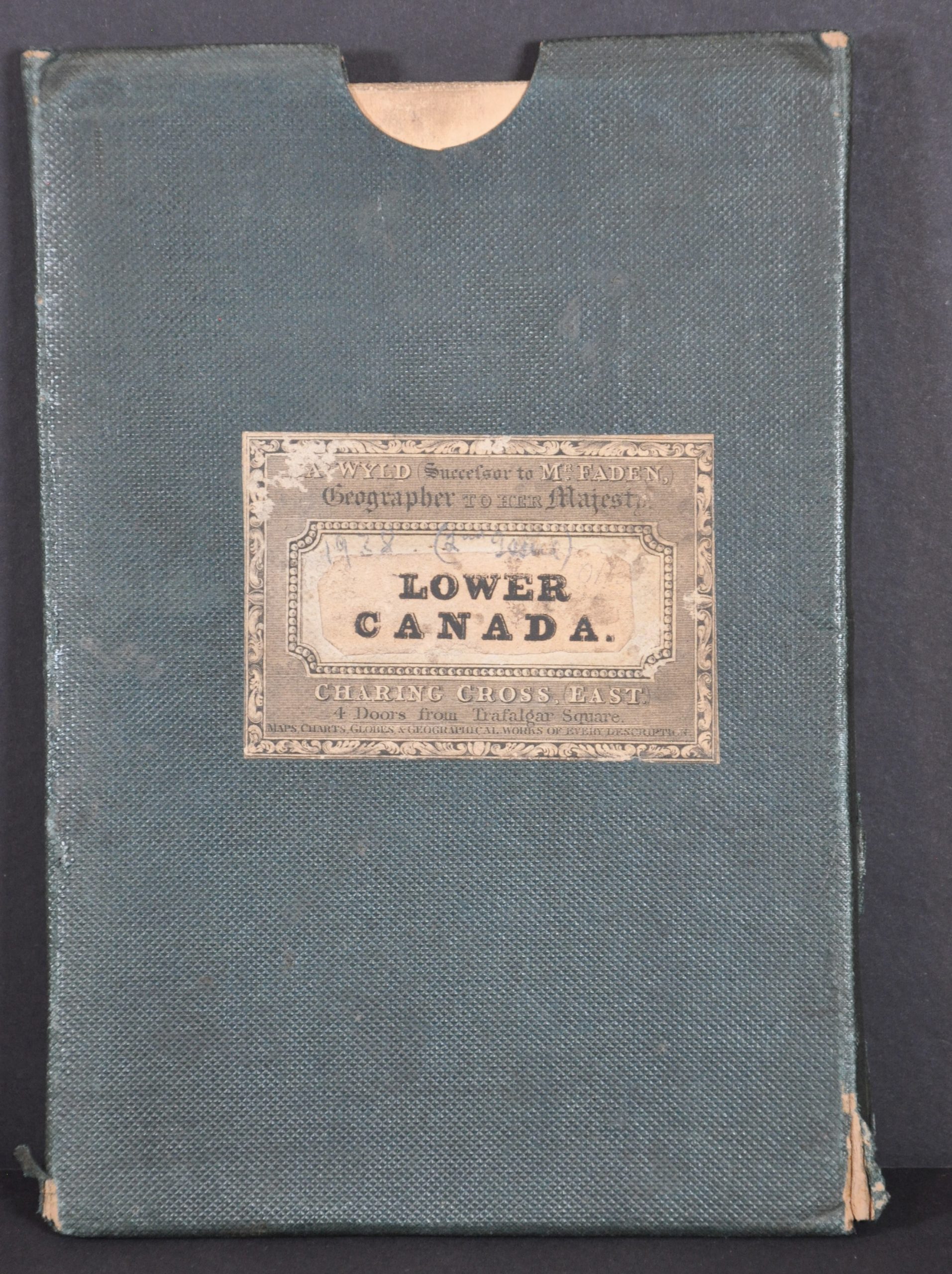
This fantastic map of Lower Canada and the northeastern United States was compiled and published by James Wyld in London in 1838. He used surveys performed by Samuel Holland, Surveyor General for the Province of Quebec and the Northern District of America. Wyld was the Royal Geographer to recently crowned Queen Victoria, succeeding William Faden in the prestigious role. It was that predecessor (Faden) that first created the map in 1813. This is one of several subsequent updates that reflect new geographic and political information.
The image follows the course of the St. Lawrence River between Portneuf and Lake St. Francis, extending to the north to Lake St. John and to Lake Champlain in the south. Dozens of land claims are outlined, with their respective owners named within. Scattered annotations provide further historical details, including ancient missions, portage sites, and territorial boundaries. Of particular relevance is the border between Lower Canada and the District of Maine in the United States. The issue would not be fully resolved until the Webster-Ashburton Treaty of 1842.
Map Details
Publication Date: 1838
Author: James Wyld
Sheet Width (in): 36
Sheet Height (in): 23.5
Condition: A-
Condition Description: Case map dissected into 21 segments and mounted on original linen. Moderate offsetting from the bold text, scattered light spotting, and a bit of toning and paper curling along the seams between panels. Includes green cloth slipcase with publisher's label. Very good condition overall, with original col
$700.00
1 in stock