
A New Map of Louisiana with its Canals, Roads, and Distances
$125.00
Gorgeous midcentury map of transportation routes in Louisiana.
1 in stock
Description
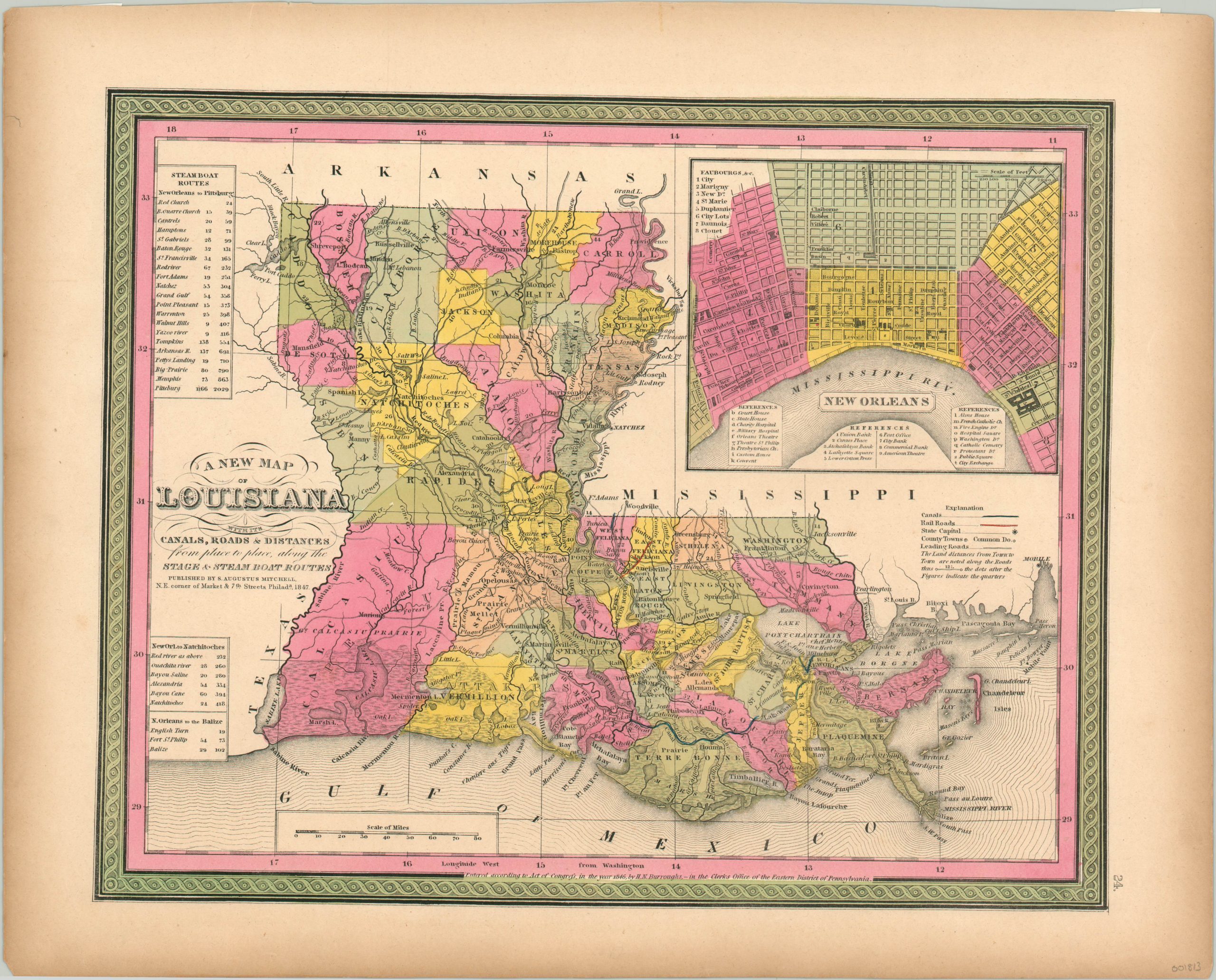
This finely engraved map of Louisiana was published in Philadelphia by Samuel Augustus Mitchell in 1847. The map’s content is focused around the various transportation options available; including stage roads, canals, steam boats, and rail roads. Distances are provided between points within the image, and three tables list the itinerary for steamboat passage from New Orleans to Pittsburgh, Natchitoches, and to the Balize.
Vibrant hand color is used to distinguish between parishes, as well as the different faubourgs of New Orleans (a predecessor to the ward system) in the upper right inset. Nearly 30 different locations are identified within the city plan, corresponding to three keys at the bottom.
Map Details
Publication Date: 1847
Author: Samuel Augustus Mitchell
Sheet Width (in): 17.10
Sheet Height (in): 13.60
Condition: A
Condition Description: Near fine condition overall, with the sheet and outer edges slightly toned, consistent with age. Vibrant, original hand color.
$125.00
1 in stock